REELy Good Fishing in the Hub
Cast off and enjoy.
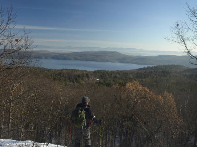
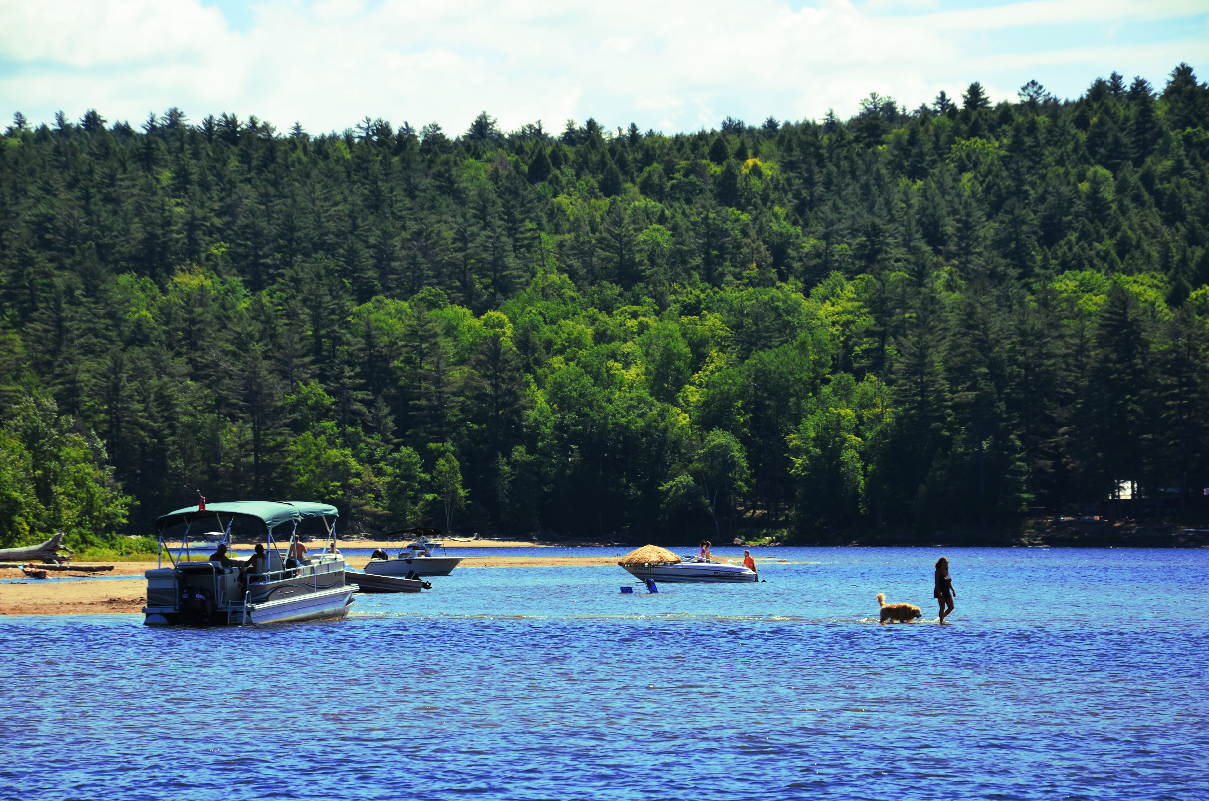
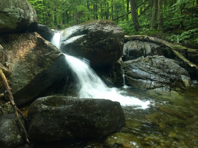
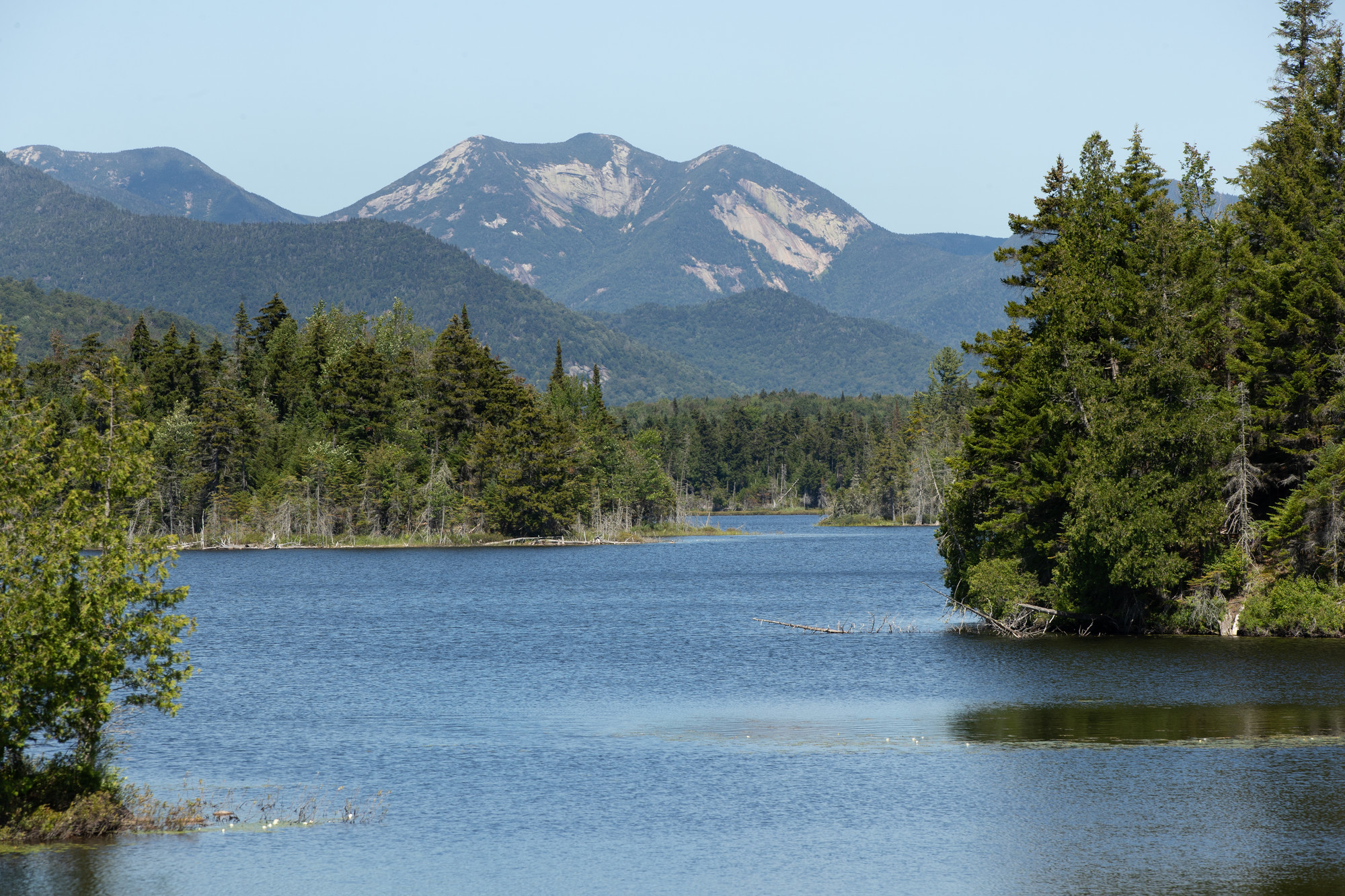
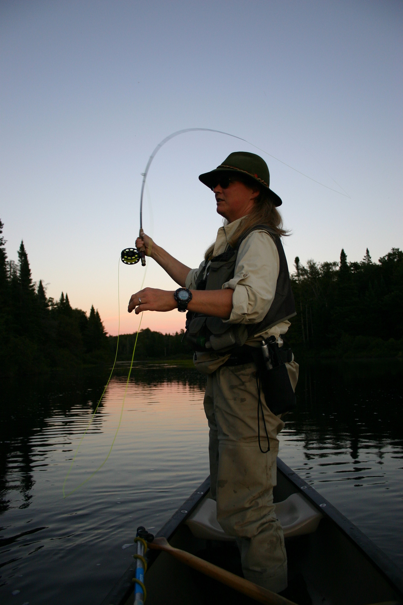
Picture this: the first light of dawn painting the sky as the lakes and ponds come alive with the promise of a new catch. In these waters, every moment holds the potential for a new adventure. As the sun sets, casting a golden glow over the landscape, and the moon rises, the stage is set for an unforgettable fishing experience. But where to begin? Fear not, for hidden within the tranquility of these waters lie secrets awaiting discovery. From the shelter of downed trees to the lily pads, from the weed edges to the presence of a dock, each "fishy" spot is a doorway to excitement. These are the structures that our fish LOVE. So, grab your gear, embrace the call of the wild, and embark on a journey to unlock fishing in the Adirondacks!
Fish Species to Explore
Small and Largemouth Bass
When it comes to freshwater fishing, few species are as prized as the small and largemouth bass. These predators offer exciting fishing battles. Smallmouth bass prefer rocky habitats in depths ranging from 5 to 35 feet, while largemouth bass are often found lurking around the edges of weed beds. To increase your chances of success, vary your depth and target areas with irregularities like points, drop-offs, or submerged structures.
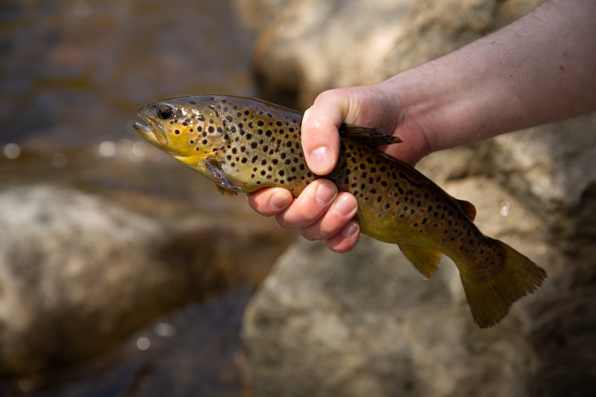
Brook Trout
For anglers seeking a challenge, few experiences rival the pursuit of brook trout. These elusive beauties are known for their vibrant colors and spirited fights. To find them, seek out covers such as submerged logs or the edges of bogs, where they can hide from predators while waiting for unsuspecting prey. Don't be afraid to explore the entire pond, as brook trout also are found cruising in open waters. Did you know there are so many different types of trout! 11 in North America alone!
Northern Pike
As the dog days of summer arrive, it's time to set your sights on the northern pike. These apex predators thrive in the depths of lakes, particularly in areas with thick underwater vegetation known as "cabbage patches." Late August is prime time for pike fishing, so gear up and get ready for an adrenaline-pumping adventure.
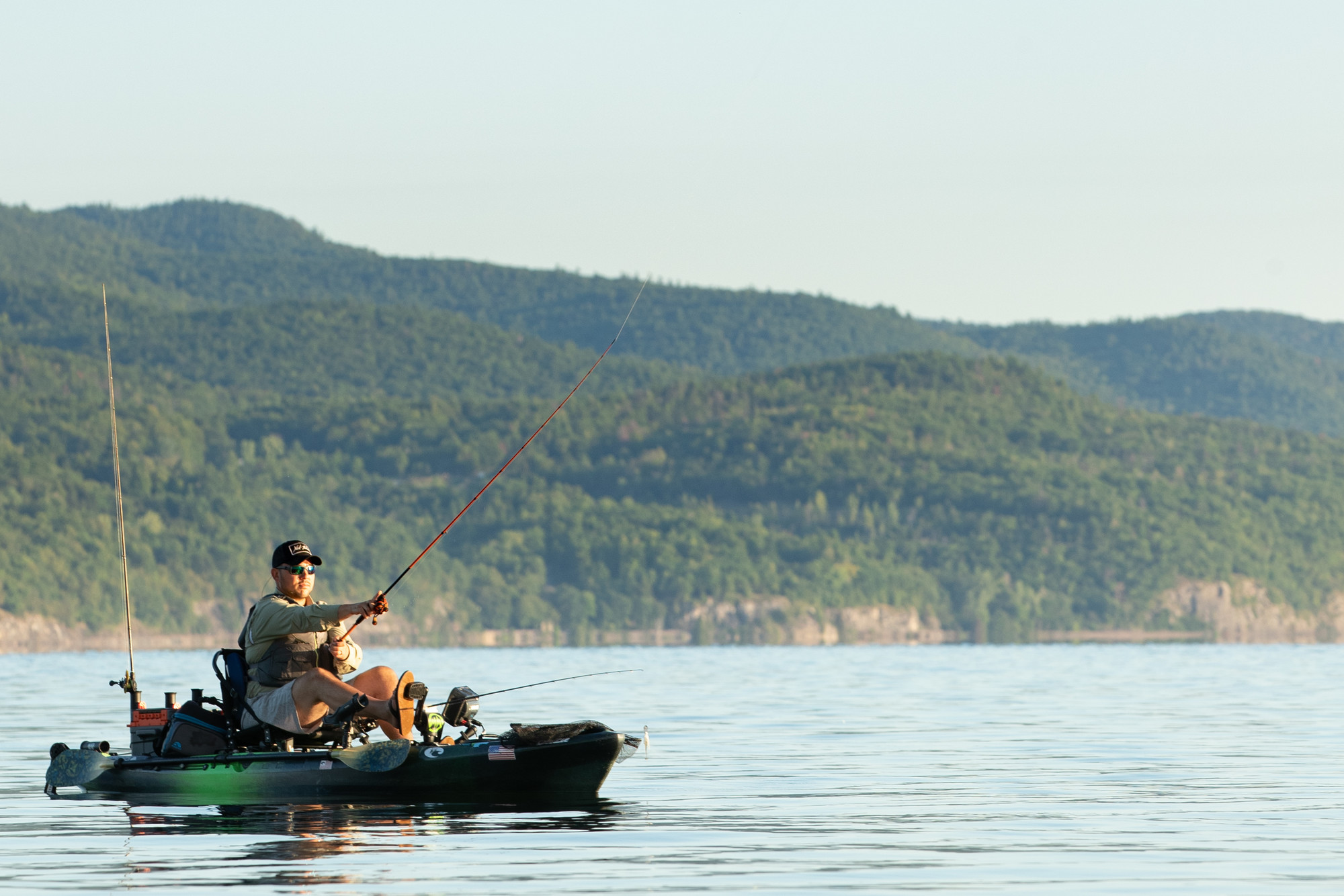
Top Lakes for Angling Adventures
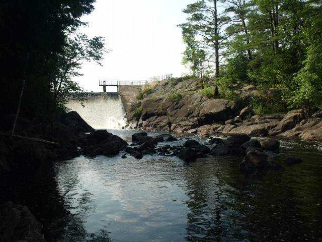
Schroon Lake
We all know Schroon Lake but did you know it offers a diverse range of fishing opportunities? From lake trout to smallmouth bass, this picturesque destination has something for everyone. It has access points at both ends of the lake and is perfect for loading and unloading your boats. Boat launches include Schroon Lakes' on Dock St and the southern tip in Pottersville. If you’d rather fish from shore that's not a problem both have shoreline and dock areas for you to fish from!
Paradox Lake
Located just a few miles from Schroon Lake, Paradox Lake beckons with its tranquil waters and abundant fish populations. Anglers can target species like lake trout, rainbow trout, and smallmouth bass amidst beautiful scenery. Accessible via DEC Paradox Lake Campground, this gem promises unforgettable fishing experiences year-round.
Lake Harris
Lake Harris boasts a rich diversity of fish species and stunning views. Whether you're after northern pike or walleye, this expansive lake offers endless possibilities for anglers of all skill levels. With convenient access points and ample parking at the public boat launch on Beach rd, it's easy to embark on your fishing adventure.
Balfour Lake
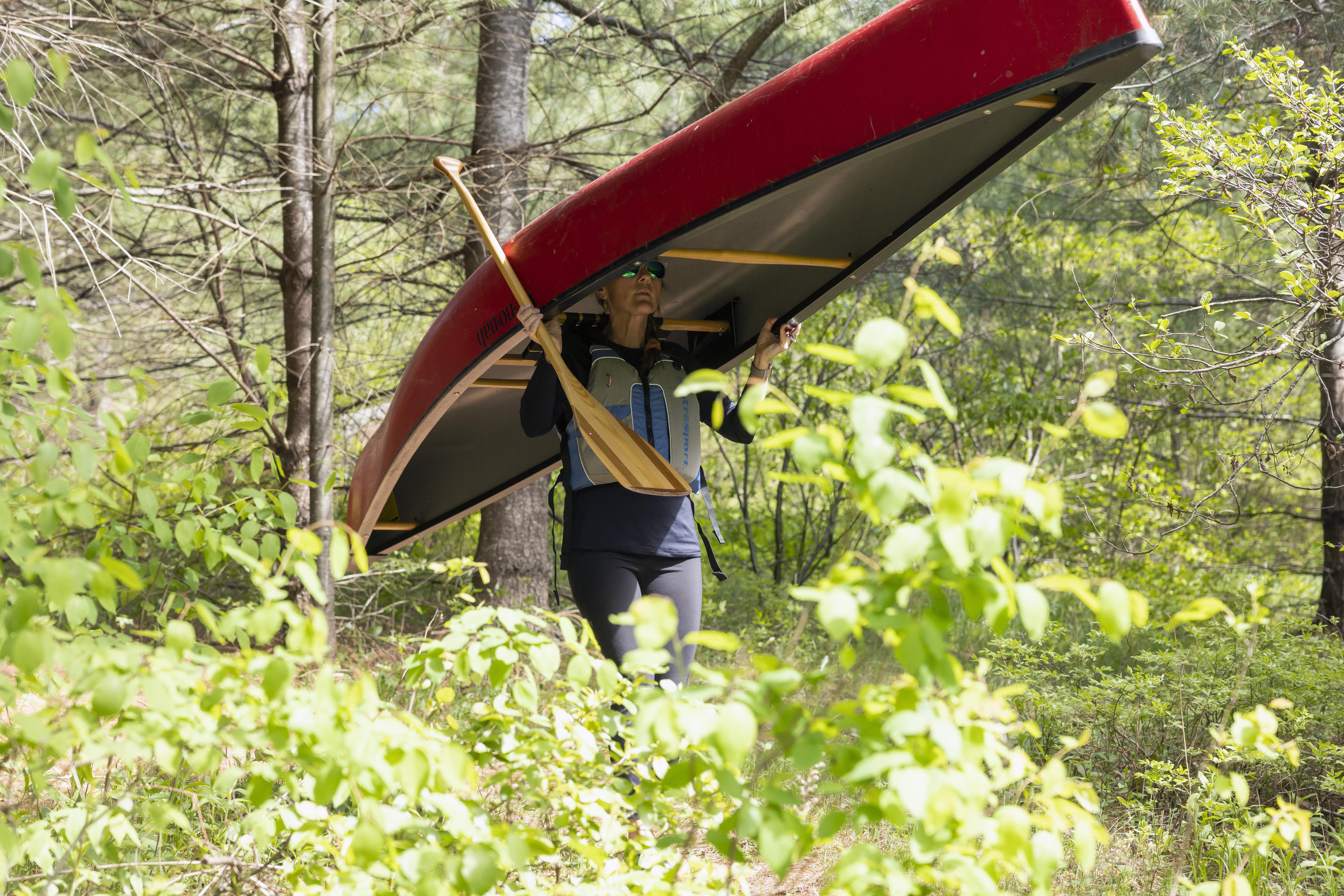
Tucked away in a secluded corner between Minerva and Newcomb, Balfour Lake offers a peaceful retreat for anglers seeking solitude and serenity. While shoreline fishing is limited, adventurous souls can launch canoes or kayaks from the state access point to explore the lake's waters. With a bit of luck and patience, you may even reel in a trophy trout or bullhead to brag about back home.
Fresh Bait!
Fresh bait can be found at local gas stations along the way or you can stop in at Cloudsplitter Outfitters in Newcomb or Schroon Lake Bait and Moore for live bait and local tips on fishing around the area!
*Be sure to have your fishing license and gear with you! The 2026 Free Fishing Days are June 27-28, September 26, and November 11.
The Adirondacks are rich in fishing opportunities! Spend a day outdoors and enjoy the scenery. Afterward, make your way into town and enjoy a delicious meal. May I suggest....fish and chips?