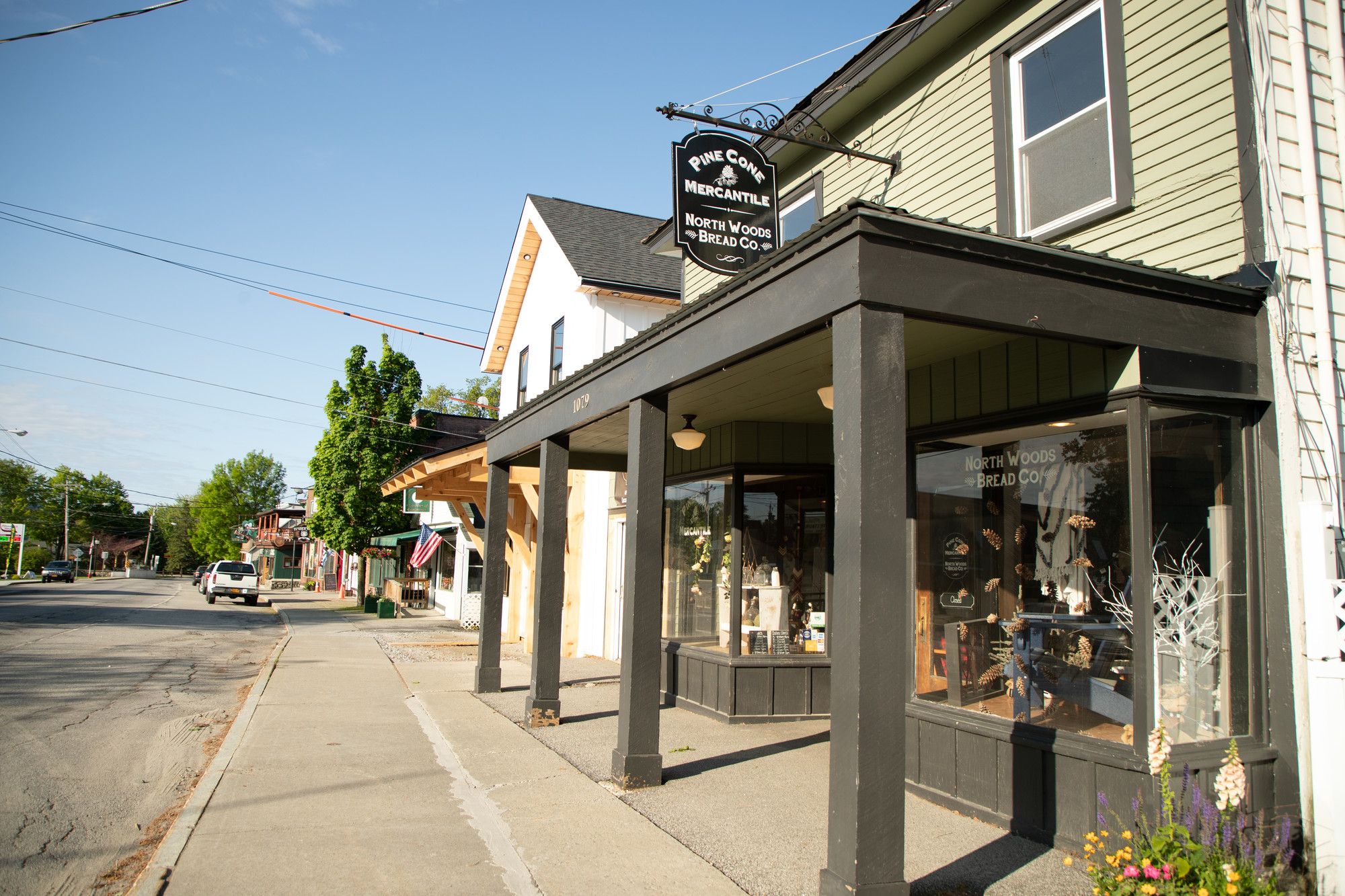
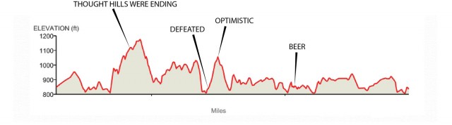
Losing Myself in Pine Cone Mercantile
This jammy, flavorful blog was originally written in 2018 and updated in spring 2024.
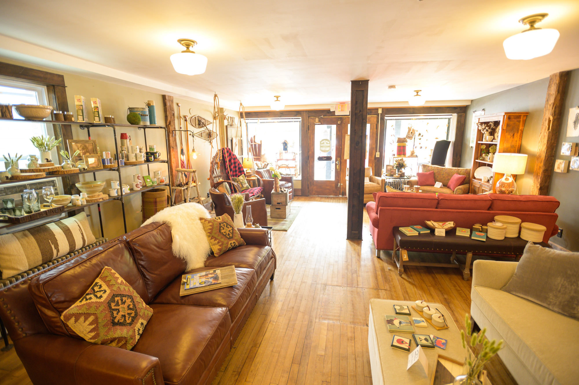
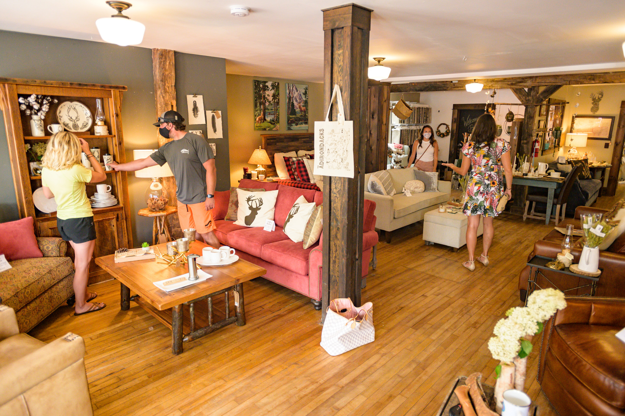
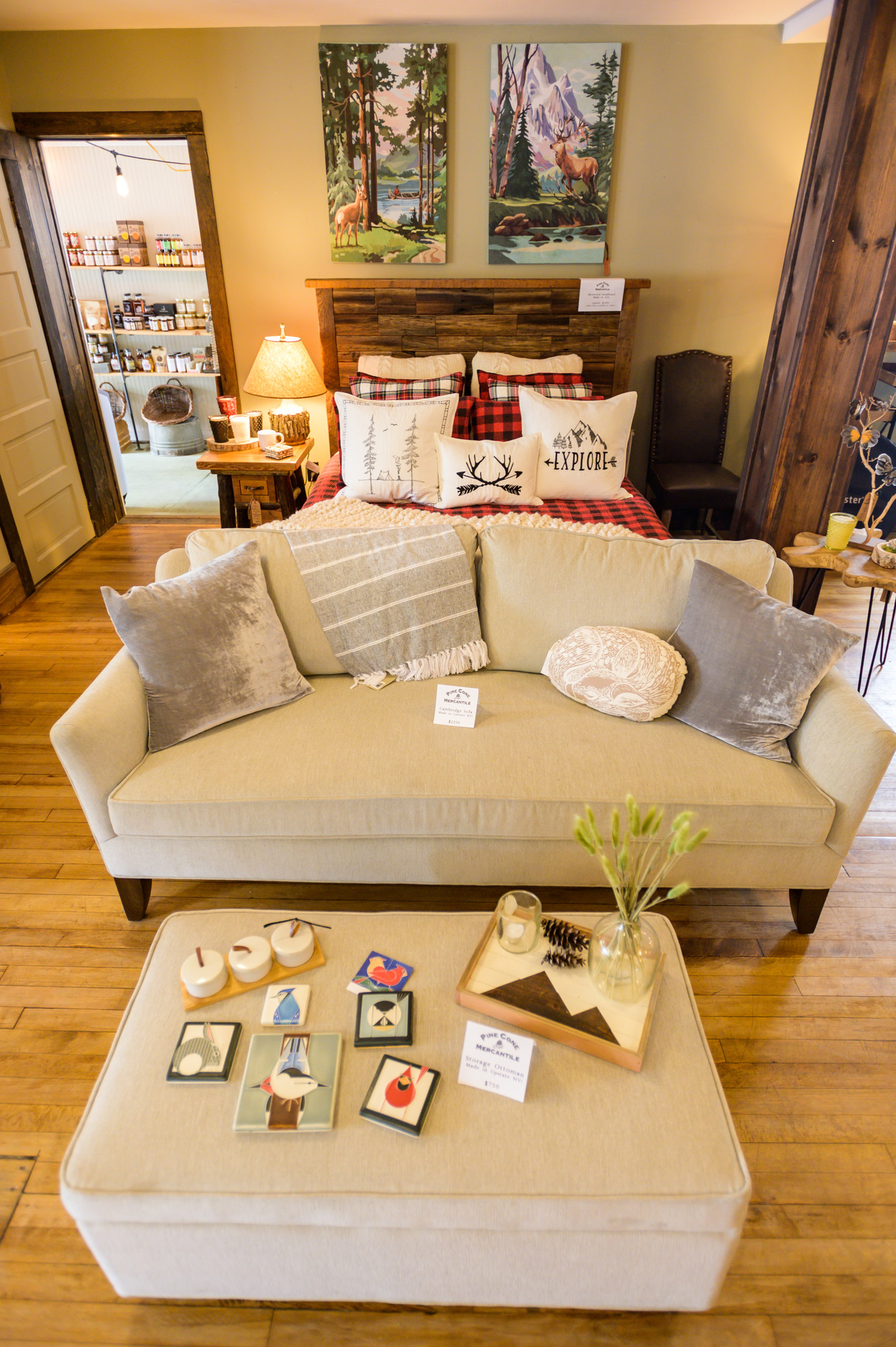
The wooden floorboards creek softly under your feet and the mellifluous sounds of 1920’s swing and jazz greet you as you enter. The smell of baked goods wafts from somewhere deep within the room. As you look around you see what seems like a life’s work on display. Hand crafted rustic furniture, hand painted paddles, vintage board games stacked carefully under a side table. Inviting couches surrounding a barn wood table beckon. Another coffee table displays vintage buffalo plaid thermoses, coffee cups you’d find at camp, and plaid table settings. Towards the back of the space several locals chat with the baker over a morning coffee. Making themselves comfortable on tastefully upholstered couches. It feels like coming home.
Which is exactly what owners Lisa and Edward Marks want you to feel as you enter their little slice of Schroon Lake. “We’ve actually had people walk in and think they’ve made a mistake at first and walked into someone’s house,” says Lisa.
Transplants from New York City, Lisa and Edward Marks relocated to their seasonal home in Schroon lake in 2014 with thoughts of retirement, but after a year of ‘relaxing’ they decided maybe the slow life wasn’t for them just yet. An interior designer and baker by trade, Lisa and Edward wanted a new outlet for their skills and interests that would also support their newly adopted Adirondack community. Having worked primarily under the guidance of someone else's vision in their first careers, they were excited at the opportunity to make something that was their own.
And so, in 2015, they opened the doors of the Pine Cone Mercantile in downtown Schroon Lake. Four years later, not only do they still run it as a two person operation open six days a week in the summer and five in the winter, they’ve also added the ‘North Woods Bread Company’ which can be found tucked in the back of the store in front of a beautiful subway tile wall, and most recently ‘Pine Cone Provisions,’ half farm stand, half artesan food display, which fills a newly renovated space adjacent to the main store.
The Mercantile
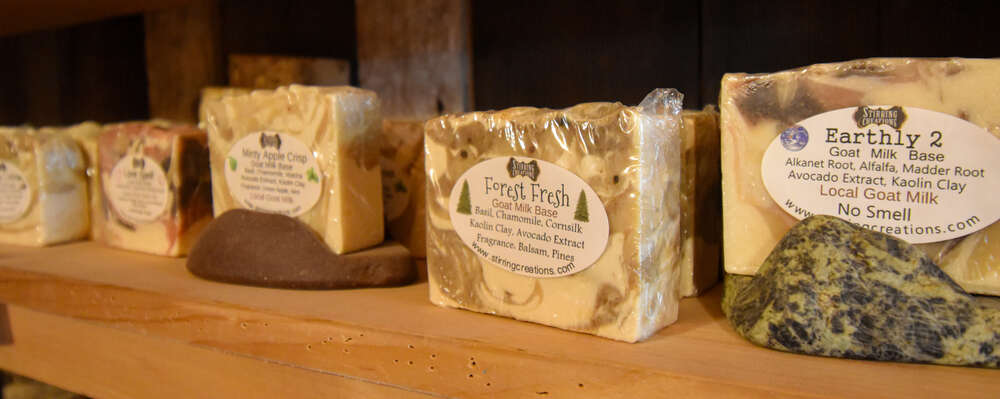
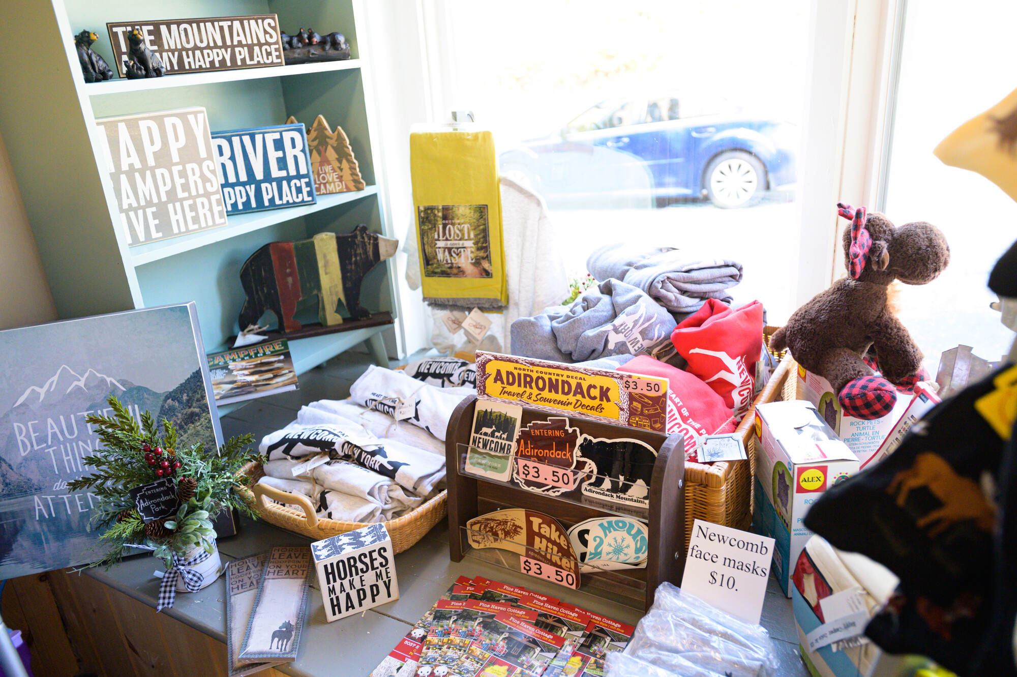
To call it a 'gift shop' would be disingenuous. The 'store' which fills the bulk of the Marks' space feels more like a carefully curated collection of keepsakes that Lisa wants to share with you. You won't find a whole lot of mass produced chachkies and knick-knacks here. Lisa prides herself on seeking out products you aren't likely to find in many other places. Decorative paddles she gets from a woman in Montreal, hand built furniture she buys a piece at a time, antiques she collects while on vacation, and hand painted balsam pillows made by a local artist make up an oh-so-tiny portion of her collection. The Mercantile is truly a space to be experienced.
Pine Cone Provisions
Lisa told me, “We knew all these producers personally, and we wanted to bring their products to the rest of the community on a year round basis.”
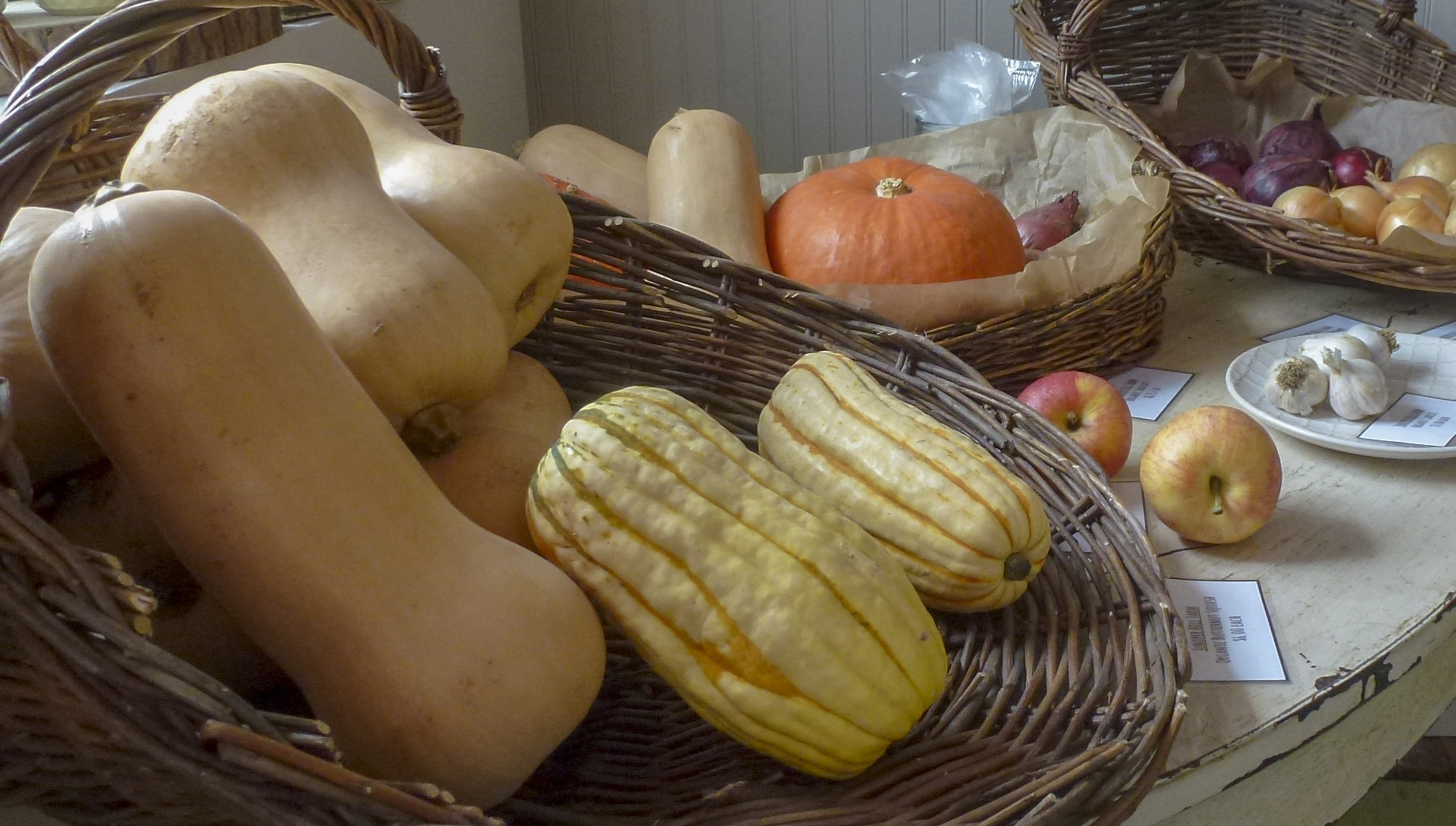
Pine Cone Provisions opened Summer 2018 with a similar mission to the Mercantile. To bring local produce and cheese as well as artisan foods to the store.
You’ll find vegetables, meats, and cheeses primarily from Juniper Hill, Asgaard Farm, North Country Creamery, and Sugar House Creamery, all regional North Country farms. The summer understandably saw a boon of fresh produce, but they also plan on keeping their shelves stocked with local produce into the winter, as long as the farms have it available.
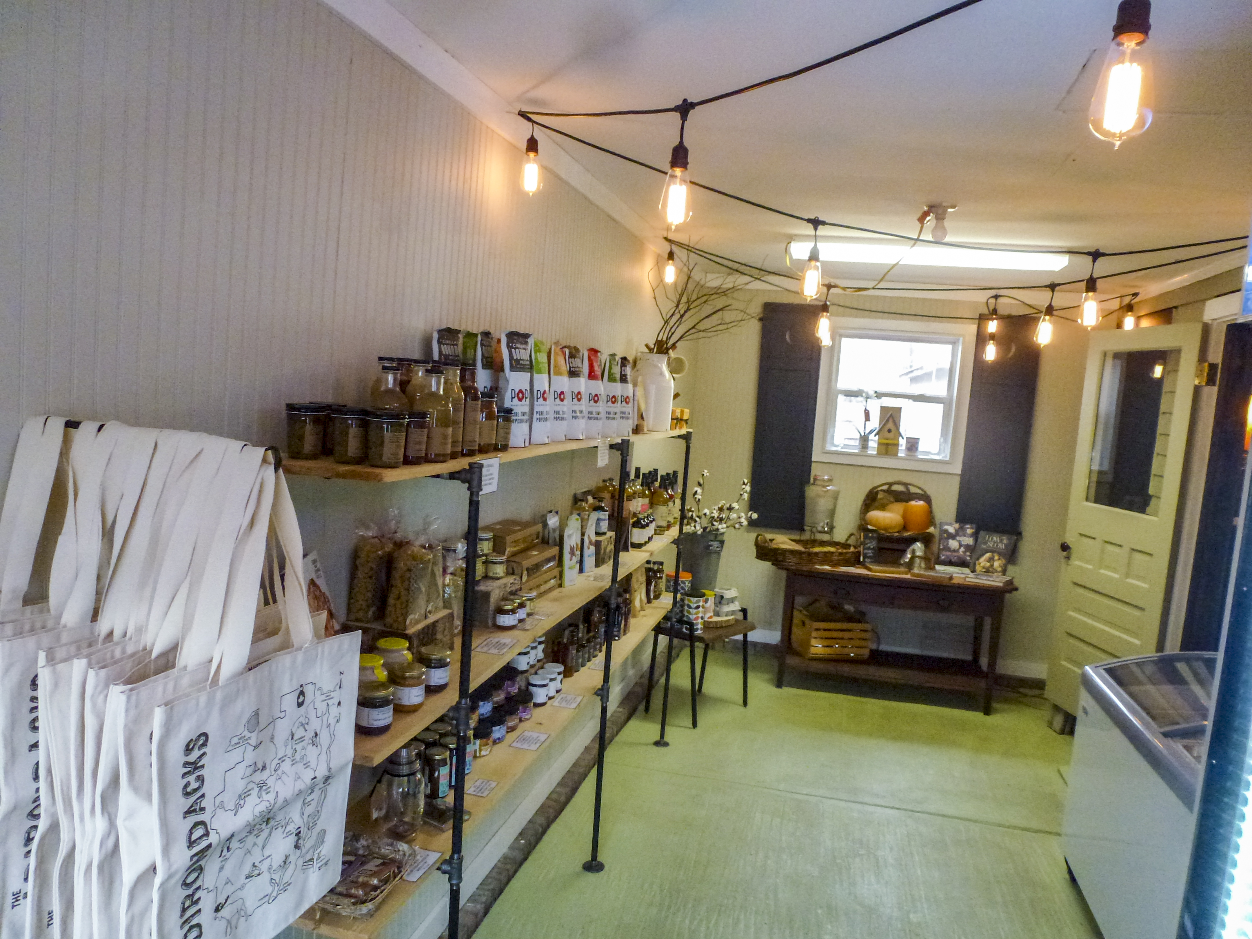
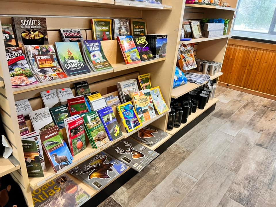
Beyond the meats, dairy, and produce, the shelves sport a large variety of artisanal goodies. Fleur De Sel chocolate from Saratoga? Check. Maple Syrup from down the street? Check (“It’s really nice to know the people who are tapping your syrup,” says Lisa). Hand crafted cocktail mixers from Lake Placid? Check. Banana Jam from Brooklyn? Check. Pancake mix ground from New York flour in the Catskills? Check. A small selection of carefully selected cookbooks? Check. The list goes on. Pinecone Provisions has one of the most well curated collections of on-of-a-kind foodstuffs I've found in the North Country and is a must-stop for anyone in town or passing through on the Northway.
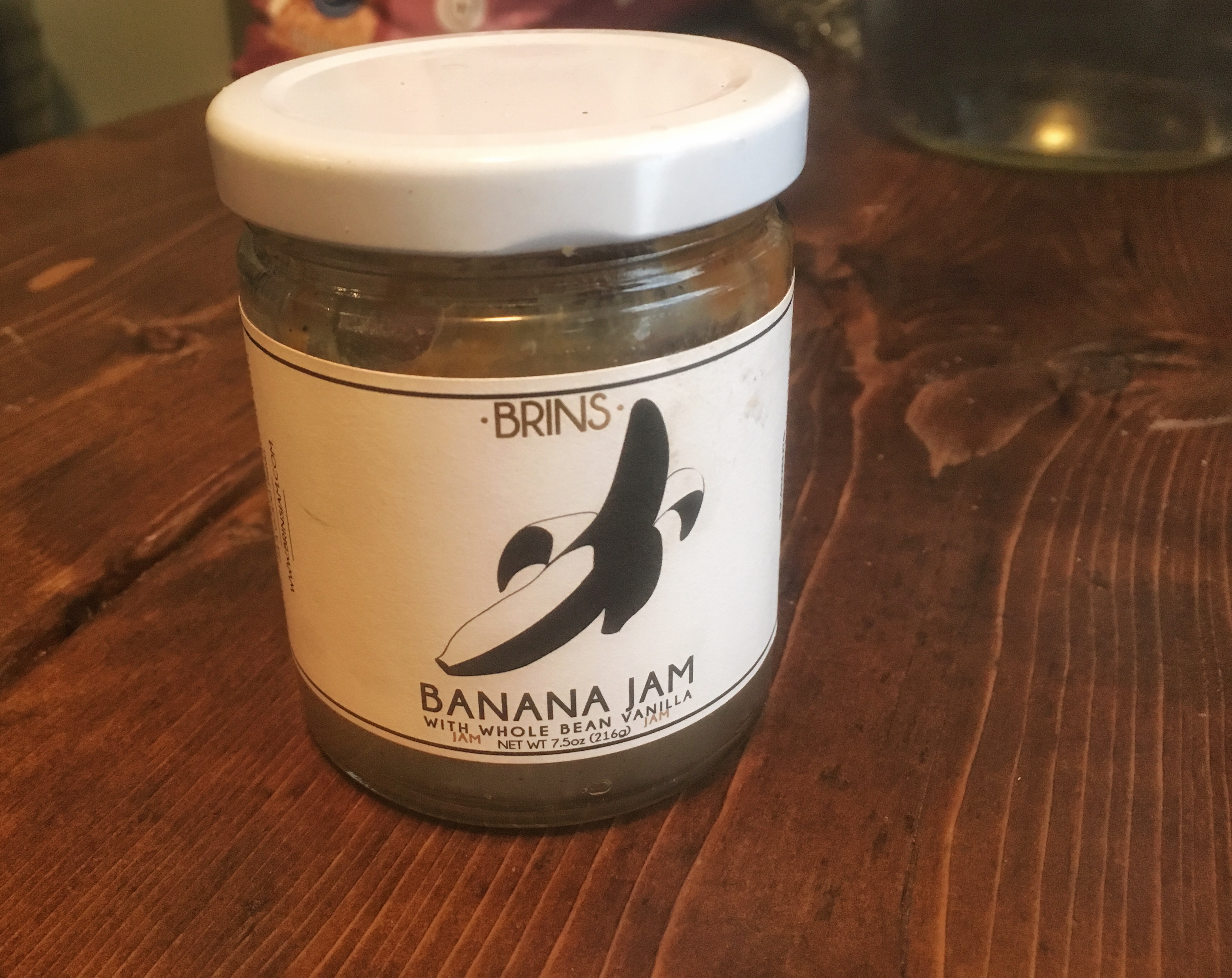 If you can get out of Pine Cone Provisions empty handed, you’re a stronger person than me. I came home with a cast iron cookbook and this marvelous banana jam. Seriously folks, Brooklyn be jammin with Brin's Banana Jam. It's like someone took all the best parts of banana bread and concentrated it into one tiny jar. A little goes a long way, and I'll be back for more.
North Woods Bread Co.
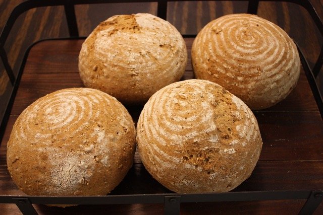
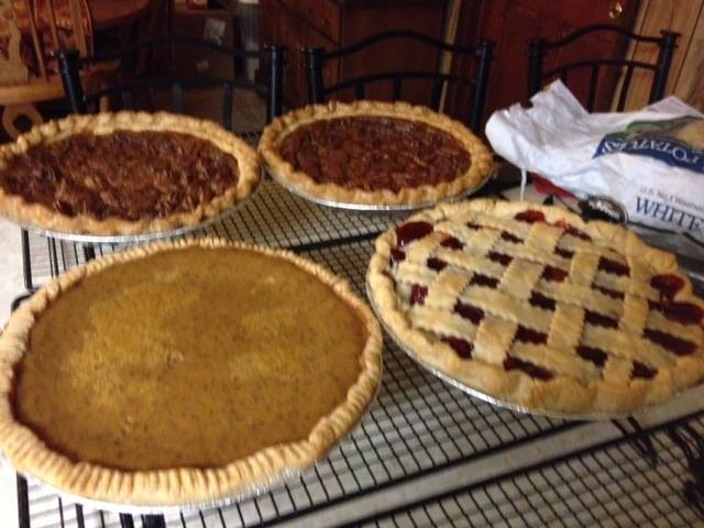
You can get the low down on the North Woods Bread Co. in this story here. Suffice to say, the fresh baked deliciousness flows out of the kitchen five days a week. This means breads courtesy of Edward and other sweet baked goods courtesy of Lisa. The choices are ever changing so stop early and stop often! Also, if you plan on being in town for any of the major holidays (plus Super Bowl Sunday) be sure to check in ahead of time for their special order ahead holiday menus!
Don't miss the chance to lose yourself at the Pine Cone Mercantile
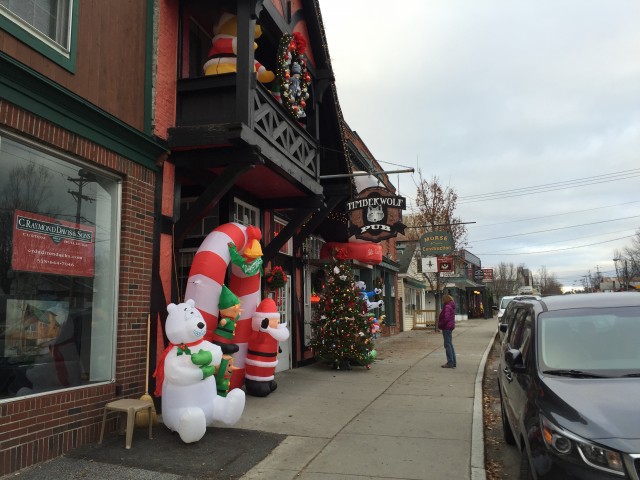
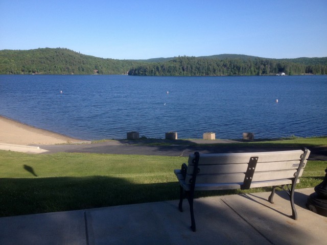
The next time you're visiting or passing through, don't miss the chance to lose yourself in this one-of-a-kind store. Right on Main Street in Downtown Schroon Lake and just a five minute drive from the I-87 Northway, It's a stop you won't want to miss. Take a stroll down to the Gazebo overlooking Schroon Lake and then pop across the street for a coffee at 9 Mile or next door to Flanagans for a beer and some good food and make a day of it!