If we dream of a delightful destination wedding, the Schroon Lake area has all the places we'd want to get away to. Our resorts have been catering to people, and making their dreams come true, for over a hundred years. If practice makes perfect, we can claim some awesome credentials.
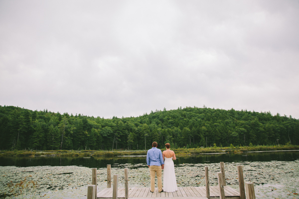
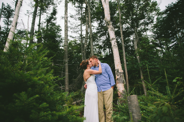
As seen in these wedding photos from a local studio, Bird On A Wire Photography, we'll make choosing the destination for that wedding as easy as one -- two -- three!
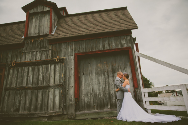
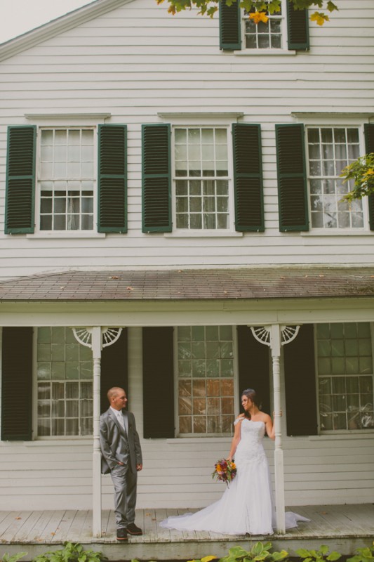
1. Choose a gorgeous place
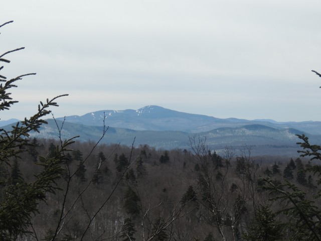
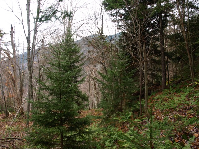
Gorgeousness abounds in the Schroon Lake Region. It is easy to find a lovely setting for almost any size of gathering.
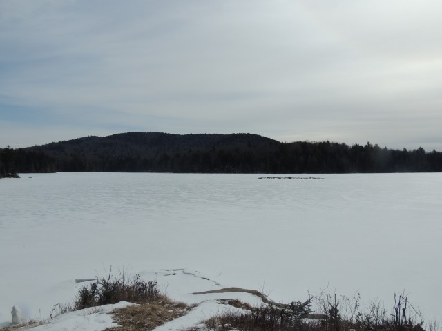
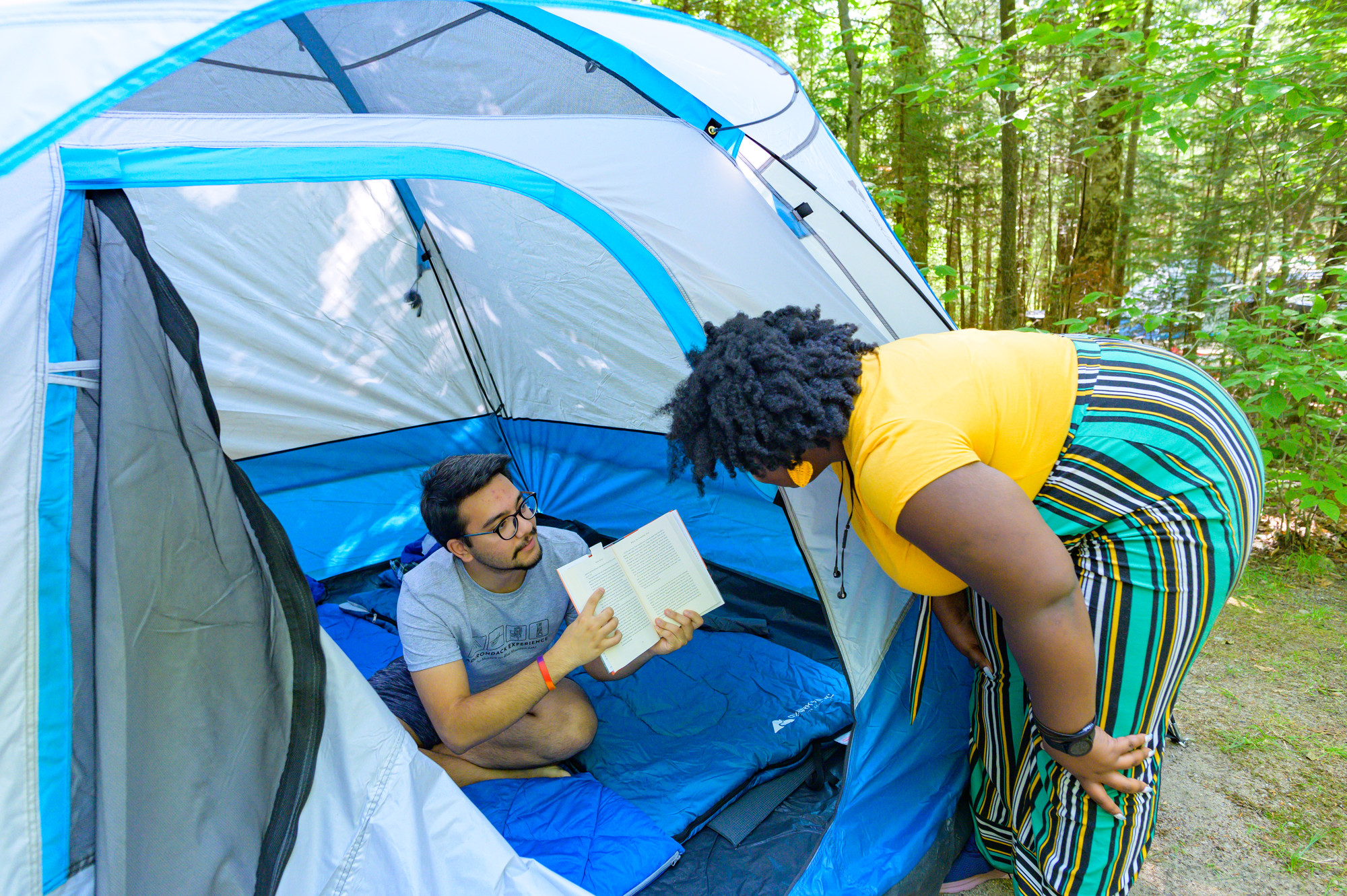
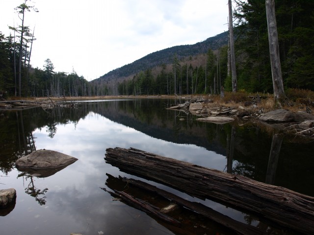
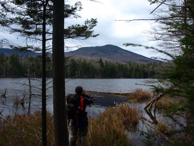
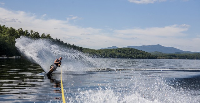
We have plenty of wilderness, but it is also accessible. From lovely Schroon Lake which is a part of its namesake town, to classic resorts and beautifully maintained public spaces, the Adirondacks have been a place where people have celebrated for a century.
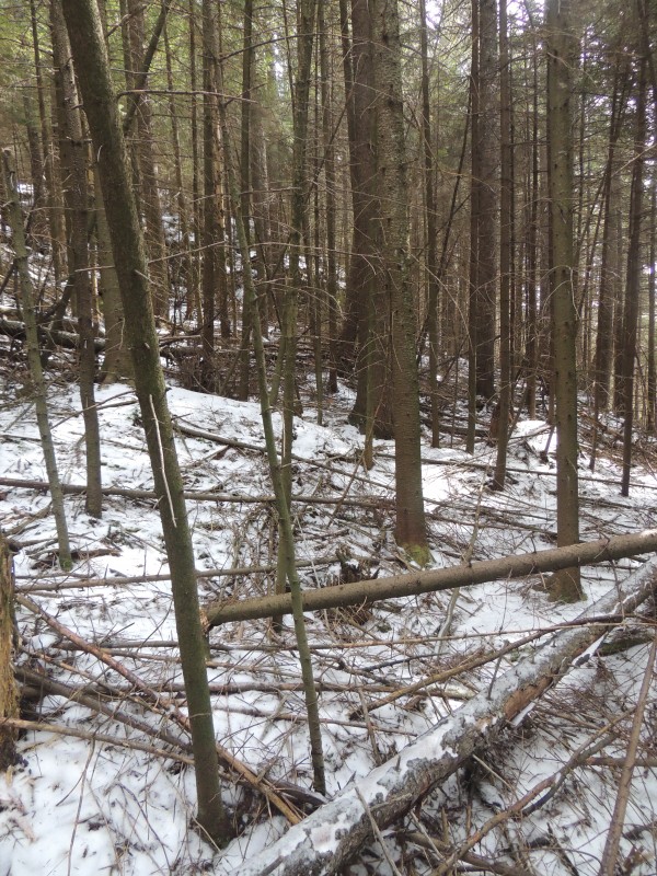
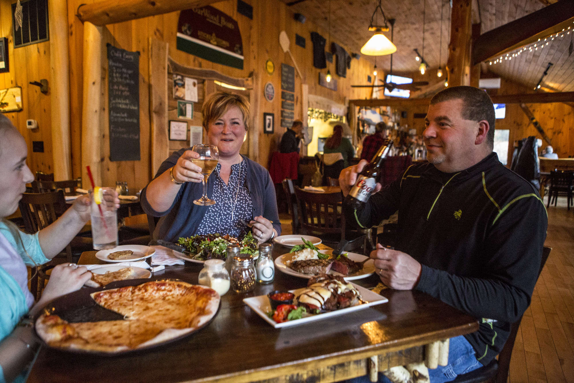
There are forests and lakes and mountains, but there are also resorts and restaurants and charming old inns.
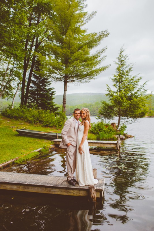
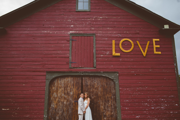
There's a wide variety of lodging, from the sweep of Elk Lake Lodge, a private resort on its own lake, to charming B&B's which are just right for an intimate family occasion. Most of them have their own amenities, like gazebos, docks, and common spaces, which are available to organize ceremonies and receptions.
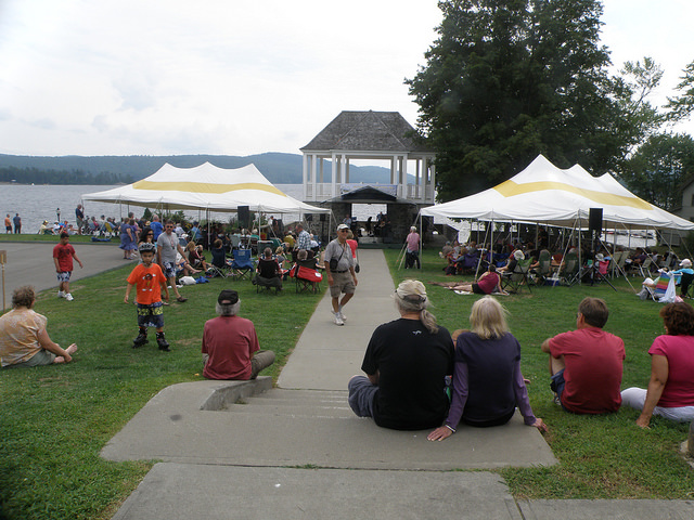
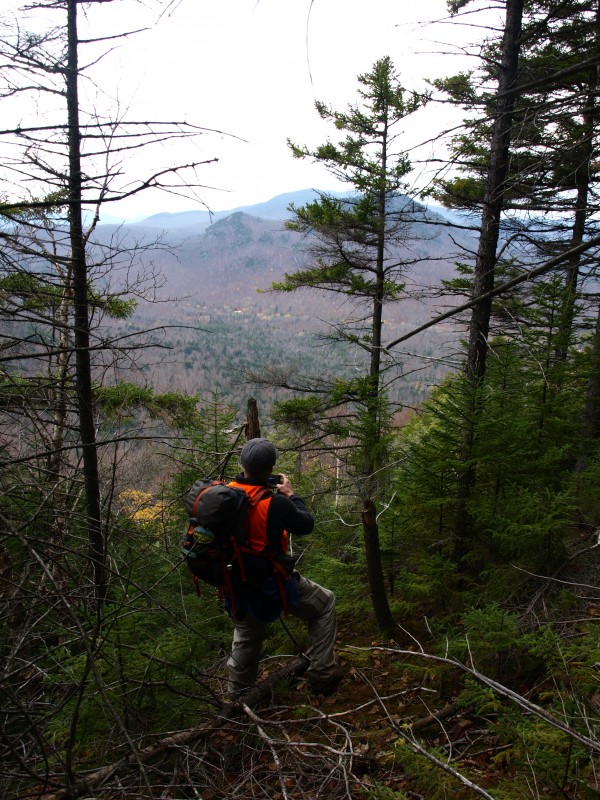
There are also public spaces with plenty of room, beautiful views, and limitless sky. With nature as our canvas, we can take advantage of the beauty provided and let much of the decorating take care of itself.
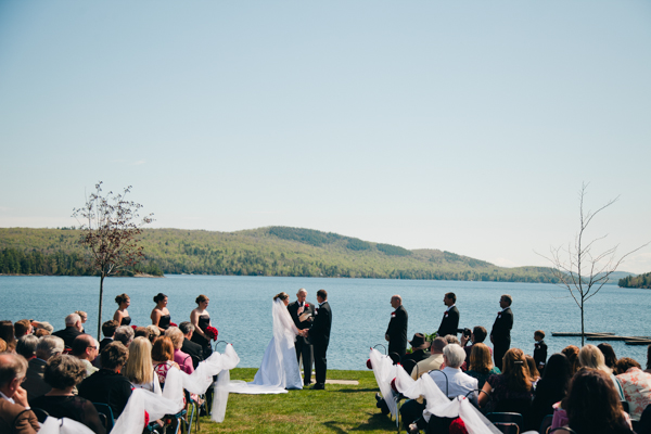
Schroon Lake has a town beach with a gazebo for some lovely backdrops. The Schroon Lake Fish & Game Club has a warm, paneled meeting space in a rustic setting that is still near plenty of services.
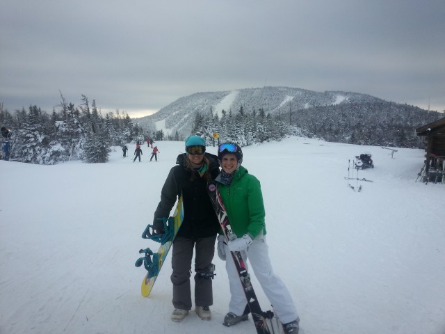
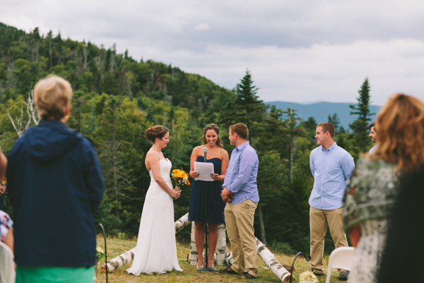
Nearby Gore Mountain is a ski resort in winter, and a stunning facility and grounds for special occasions in the summer. The town of Minerva has beautiful parks, pavilions, and a town beach available for groups.
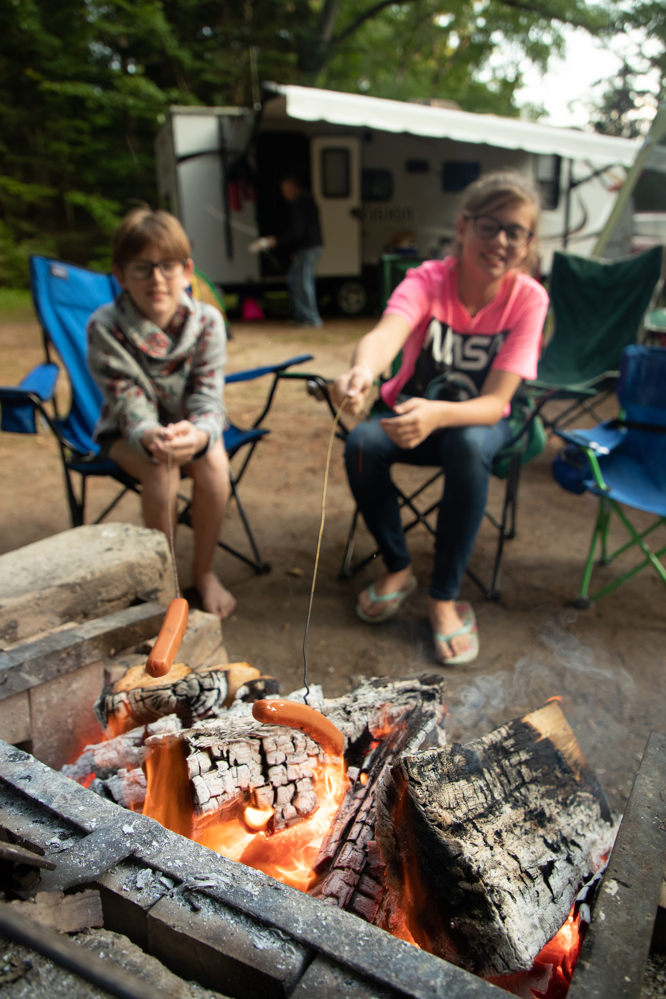
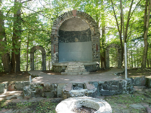
Even many of our campgrounds have more amenities and meeting spaces than we might think. The Medcalf Acres Riverside Resort have camping cabins and RV spaces. Scaroon Manor is a state campground with an open air theater space that was featured in the movie "Marjorie Morningstar."
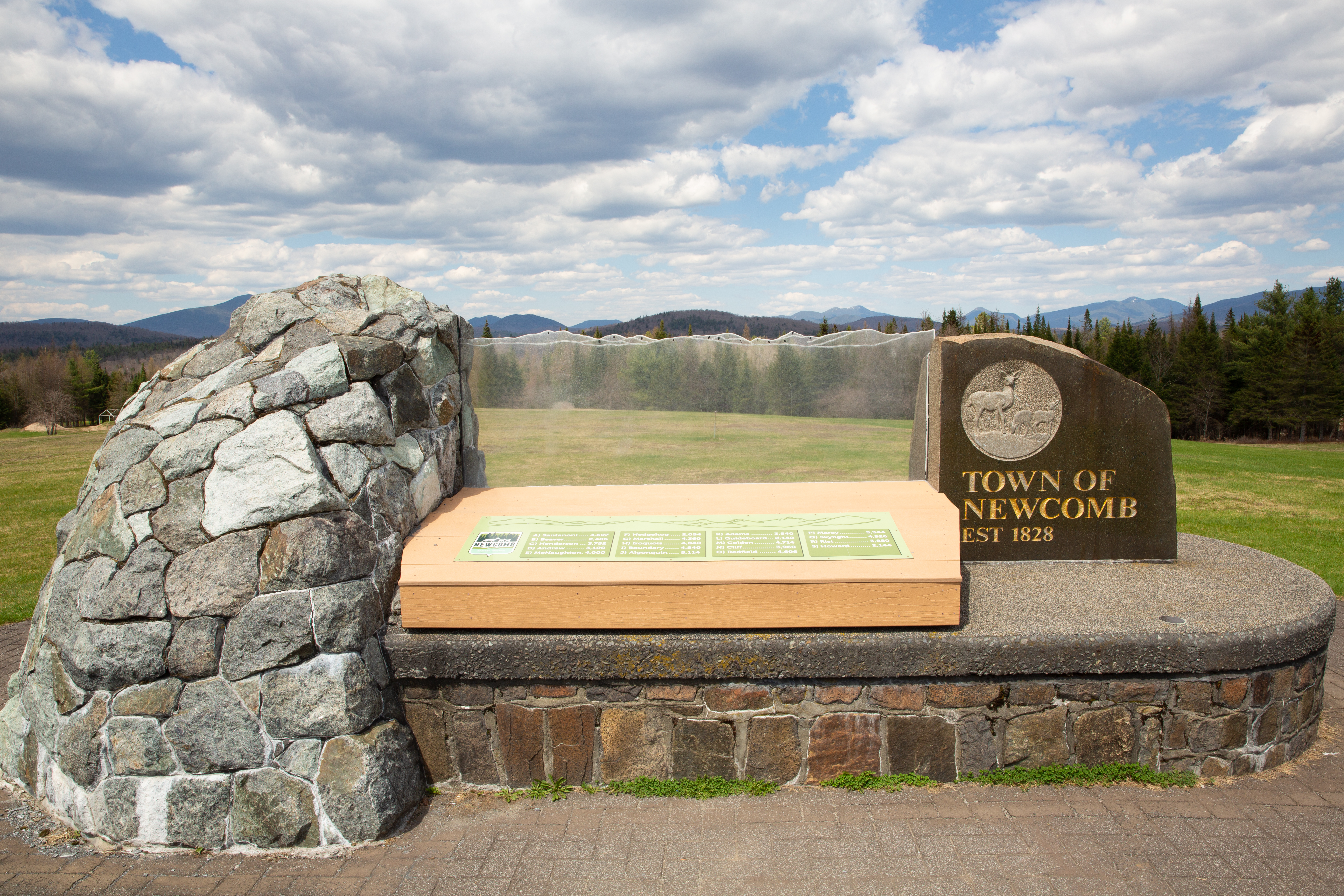
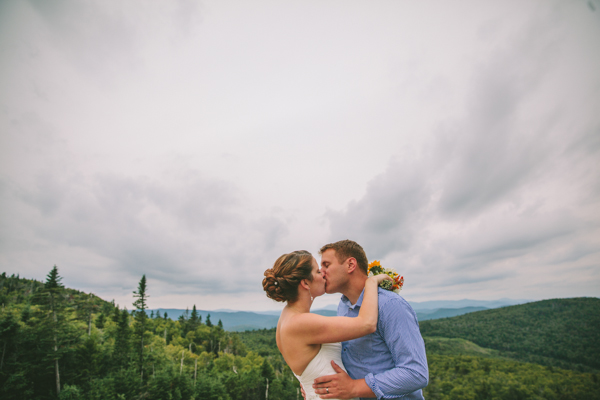
The Adirondack Interpretive Center at Newcomb has easily reached trails along with meeting facilities which lets couples craft a wonderful expression of their love for each other, and their love for nature. Newcomb also has a town beach and a scenic overlook that is stunning, just right for a ceremony and picture taking.
We can shape the event in ways which have meaning to us.
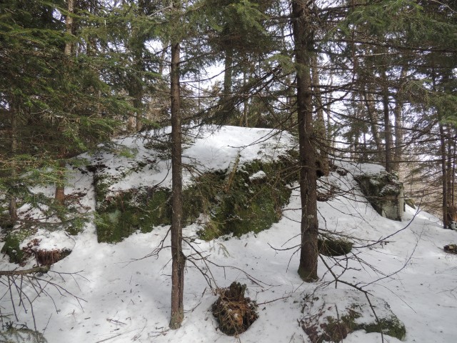
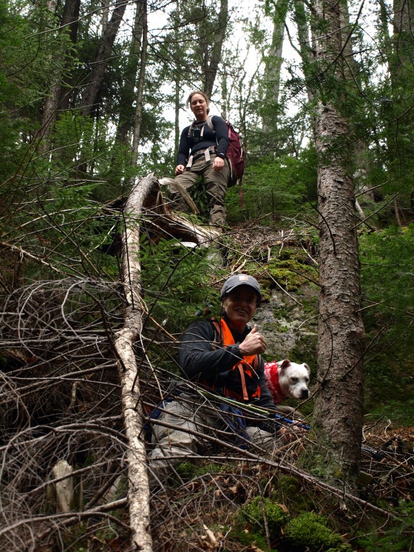
A couple can make a "wild wedding" both memorable, and comfortable, for their guests, while enjoying the benefits of peaceful surroundings and a sense of privacy like no other.
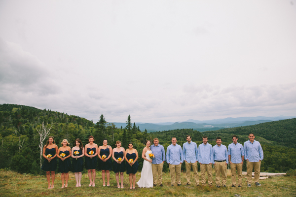
2. Choose the Adirondack attitude
We aren't the place for a lot of fretting and stress. We're the place people go to get away from all that.
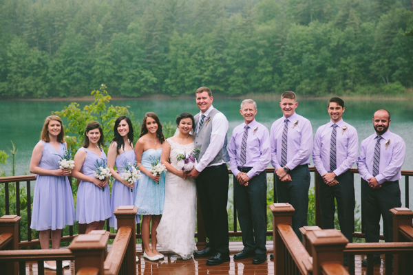
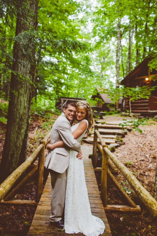
Destination weddings evoke the warmth and closeness of family. Summer vacations in the Schroon Lake region have brought families closer for decades, in relaxed surroundings during long lazy days.
That same sweet feeling can make for an extraordinary event that contains all the popular Adirondack elements which we welcome you to make a part of your special day.
There's:
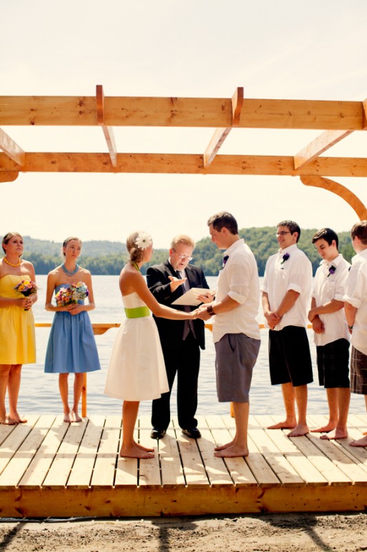
Informality - where we can dress "Adirondack casual," even at a wedding. Let our guests feel as relaxed as we are.
Playfulness - seat the guests at picnic tables, have them line up for a buffet barbeque, do an ice cream sundae reception. The less we need to manage, the less chance of something going wrong on our big day.
We can get married barefoot if we want!
Hospitality - by gathering all the lodging and dining in one place, we can mingle when we wish, enjoy a stroll through the forest when the spirit moves us, and easily gather together again for important parts of the day's festivities.
Simplicity - as the saying goes, we can have anything we want. We just can't have everything we want.
It's much too easy to get caught up in doing everything, and then have a rushed and stressful day. When it is a very special day we should simply be enjoying.
A destination wedding pares down a lot of the guest list, the complicated organizing of shuttling groups from one place to another, and being moved from one impersonal space to another.
The Adirondack way of weddings is to remind everyone of the important thing. Which is that... we're here.
3. Choose the right support
Once we have chosen our venue and taken our deep, relaxing breaths, much of the rest of our tasks can be dismissed or delegated. Making this too complicated is just going to create problems for us.
The area has a devoted business community which knows their specialties better than we do. So we can let them handle much of the logistics and execution.
Leaving us to do what we do best.
Rocky Acres is an Adirondack B&B and sewing service willing to cheerfully fuss over a bride's gown before the ceremony and fuss over the honeymoon couple after the wedding.
Schedule a couple's massage at Schroon Lake Massage and Wellness Center.
Arrange for the bridal party to take a yoga class at True North Yoga. Get the whole wedding party team shirts at First Impressions Stitching & Sportswear.
There are local bakeries, breweries, and catering services which can give exactly the right Adirondack touch to this most wonderful day. Then, we can choose another wonderful place in the area to have our honeymoon, or wave goodbye to our guests and not even have to unpack.
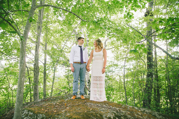
Our Adirondack way is about being one with nature, letting it lead us, and not trying no to impose control over something that is, after all, bigger than we are.
Just as two people join themselves in something more important than they are separately, the Adirondacks can help us remember that centering ourselves in nature is where we can draw the deepest satisfaction, relaxation, and understanding.
Remember, we are not alone in this. We just, sometimes, want it to look that way.
Choose the perfect lodging for everyone. Explore the dining. Ask the Chamber about services for that dream wedding.
All photos by Bird on a Wire Photography.
In related ADK news: Put a ring on it ADK style
Say yes to Lake Placid
Betrothed on a budget
In the heart of the ADKs
Feel the love, Adirondack style
The coolest place to tie the knot
Farm to bridal table
Unique locations, fun destinations