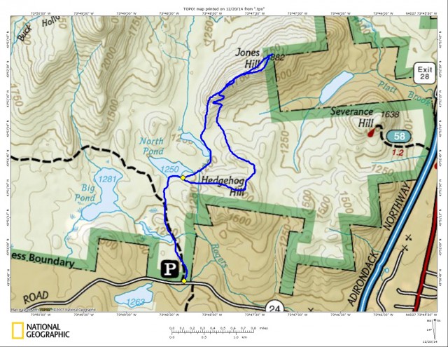
Jones and Hedgehog Mountain--A bushwhack in the Hoffman Notch Wilderness
Jones and Hedgehog Hills---Winter bushwhacking in the Hoffman Notch Wilderness
The Hoffman Notch Wilderness is almost 39,000 acres of prime real estate butting right up to Hoffman Road in Schroon Lake. I made my decision to go and visit just a small portion of the beauty that lies within that green line they call wilderness. A buddy and I met at the exit for Schroon Lake off I-87 and carpooled over to the start of our little excursion into the woods. We parked at the Big Pond parking area and decided to start along a trail and then visit a hidden back-country pond while we were at it.
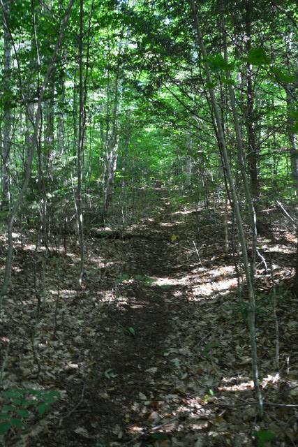
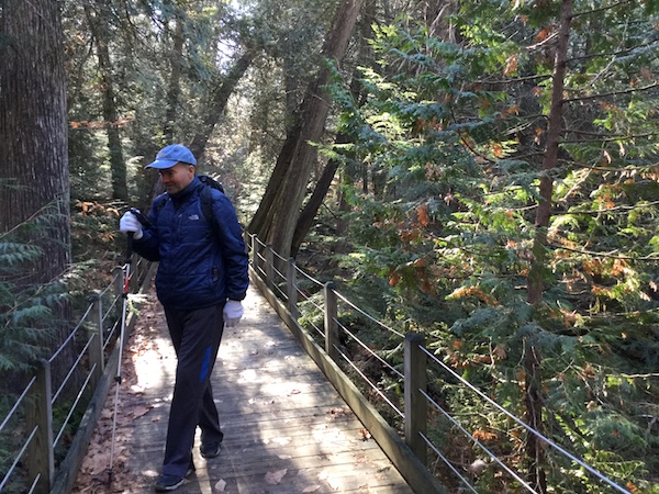
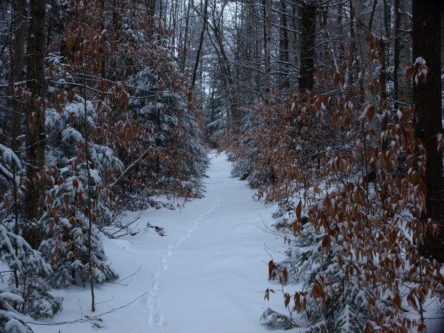
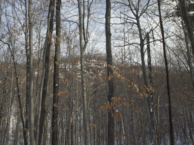
The trail, yet untouched this winter, only really had a few inches of snow on it, not enough for snowshoes. We chose to leave our winter personal flotation devices in the car knowing we would make even better time without the added weight. The trail just moved by faster and faster, the snow becoming more and more perfect as it rested on the trees. With snow drooping the balsam branches we were surely in a winter wonderland.
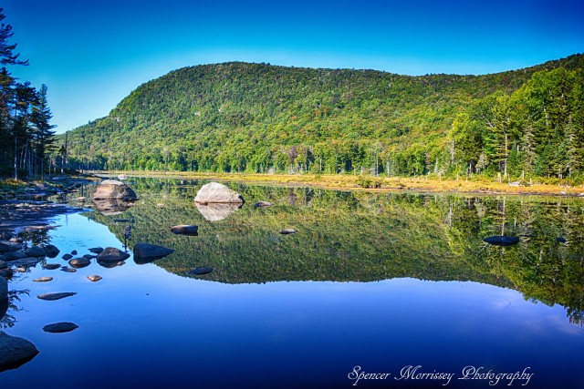
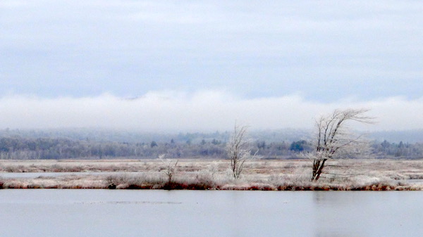
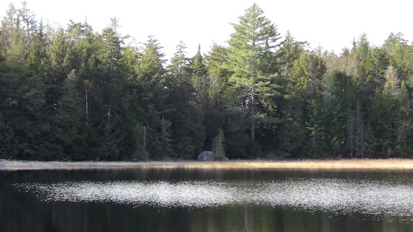
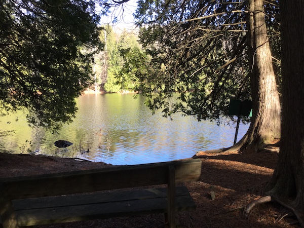
North Pond
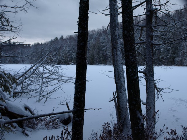
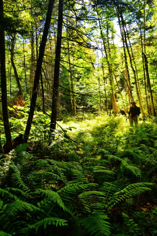
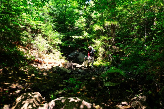
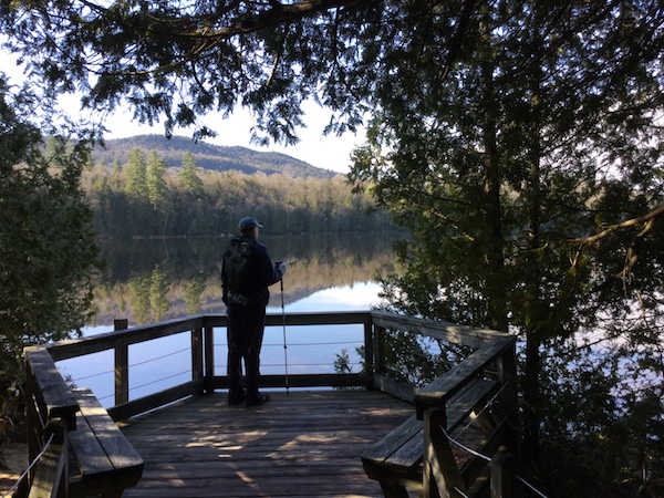
North Pond was the hidden gem I was referring to. As much as I love bushwhacking to the summits of the Adirondacks, I also love the sweeping vistas that a hidden pond can give, especially in the cold of winter with the sun sparking the flakes on a frozen flat field of ice. It wasn’t long until we reached that point where we would become one with the forest. We would leave the trail and see what we could find further out in the depths between the contour lines of a map.
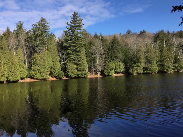
The forest was open and mostly inviting. We aimed for a northern route to reach the southern shore of North Pond. Just over a quarter of a mile the pond would rest at the base of Hedgehog Hill. The openness the pond gave us was amazing. With the shallow slopes of Hedgehog to our right we quickly would turn to start our climb.
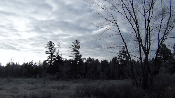
Hedgehog Hill
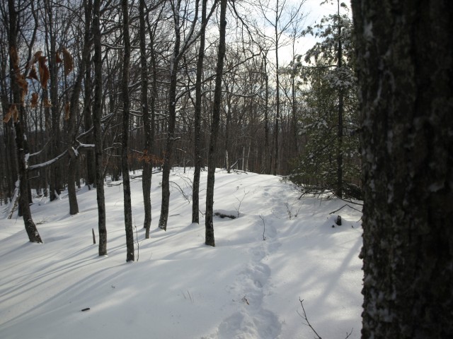
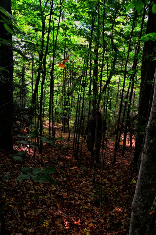
We wasted no time in making fast work of the lower elevations as we moved through the open hardwood forest before us. We would stop on occasion as we had open views behind us of the pond below us. From time to time we would be welcomed by a random spruce or balsam tree and then once in a while a small patch would be growing in front us, nothing we had any issues avoiding. The grade was never too steep and before too long we stood atop the semi-open summit taking in the surrounding views. But it was time to head toward Jones Hill, which to our belief would be the highpoint of the day. Making another northern heading we were on our way.
Jones Hill
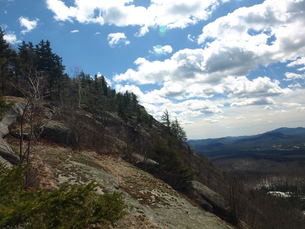
We stayed on a heading of north to follow the flat ridge and descend slowly off Hedgehog. The ridge soon opened up some great views of the ledges on the south side of Jones Hill; the excitement started to flow. The open hardwoods were still quite easy to navigate and with the massive cliffs in front of us we didn’t even need the help of the GPS. But how would we get up the cliffs? The cliffs line the ridge and the western ridge came down to meet them. While still steep, we managed to obtain the ridge with the helping hands of one another and possibly the help from our micro-spikes.
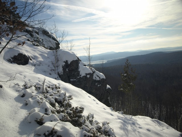
The rocks, forming a natural staircase in many sections helped us out, and we were pleased to use them when we could. The views opened up almost immediately as we hiked along the top of the cliffs. The blue skies screaming "take our picture", so we did, and we did so often. It didn’t take long to reach the summit of Jones, with all the gorgeous views taking up our attention. Jones standing 1882 feet in elevation, not a towering peak by any means, but higher than most in the immediate area.
Descending back to North Pond

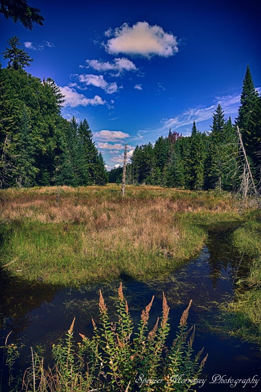
We decided to take a short detour on the way out, since we had some extra time and all. We thought we might want to check out what we called Upper North Pond. Upper North Pond really is an unnamed body of water north of North Pond, but its water flows south to the main body of water. Drained into by the Blue Ridge Range we felt it could be a secret hidden attraction, and as we descended the western ridge of Jones Hill we could start to see fractions of it. Once we got to the shore we were happily surprised by its unique beauty. While it didn’t appear to be holding much in the way of water its sleek shape gave it a neat look and the windswept grass along the edges gave an appearance of a winter deep freeze. We worked our way around the eastern shore of the hidden pond and followed the drainage until we were once again along the shore of North Pond. We knew now it wouldn’t be long until we ran into our original tracks in. Even with the gusty wind we felt confident they would still be there.
We followed our track back out and once again upon the Big Pond Trail. On our trip out of town we knew we needed to satisfy our hunger with something closer to real food, rather than half frozen snack bars and ice crusted water. Stewarts would take care of that need – just enough to get us back home and ready for another adventure. Perhaps you want to hit the woods but would rather forego the bushwacking and hike some of the trails in the Schroon Lake Region, we have plenty to choose from. Maybe the snow's getting deep and you want to try out snowshoes; well, our trails are great for that as well.