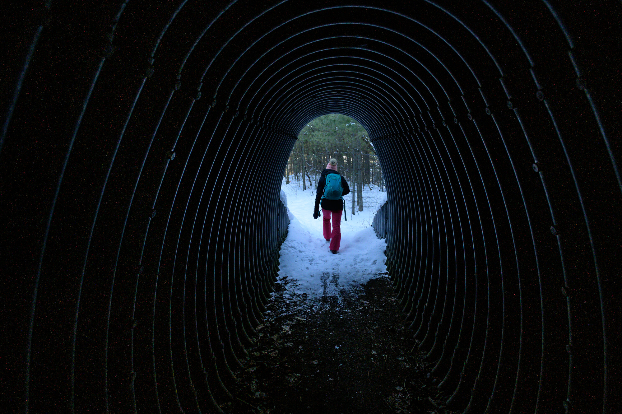
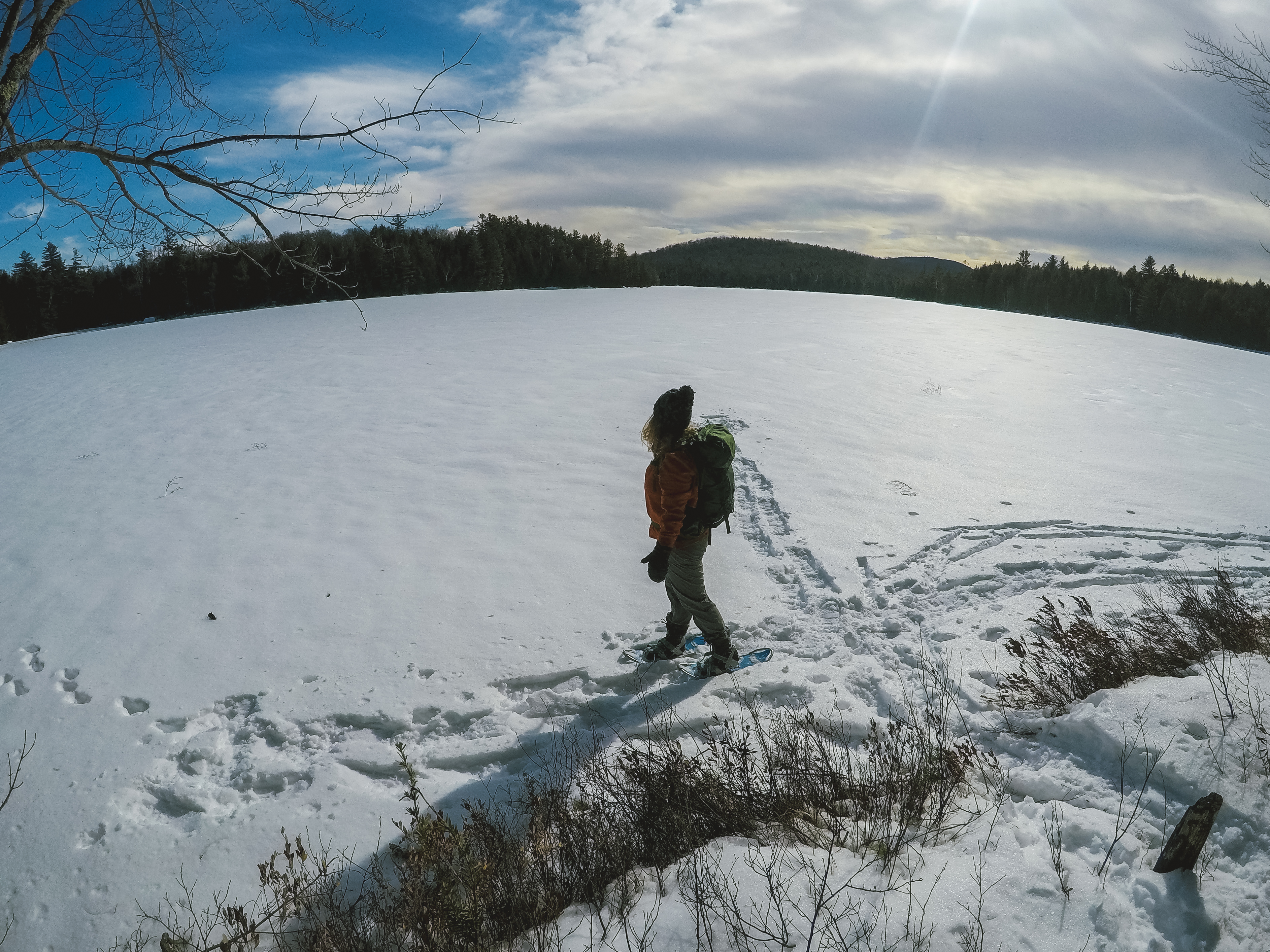
How warm-weather activities transition to cold!


Ever wonder what happens to a popular warm-weather attraction when the cold weather descends and the snow starts to fly? Last season we got a chance to solve this mystery and enjoy some quality girl time along the way!

Setting the stage

So, it’s a relatively warm winter day with temps reaching a balmy 23 degrees. Considering the recent below chilly days, it almost feels like spring. It’s time to get out and try something new. And, if there is one thing I have been long overdue at trying, it’s snowshoeing.

[img:schroonstonebridgecavesourbigfeet.jpg]

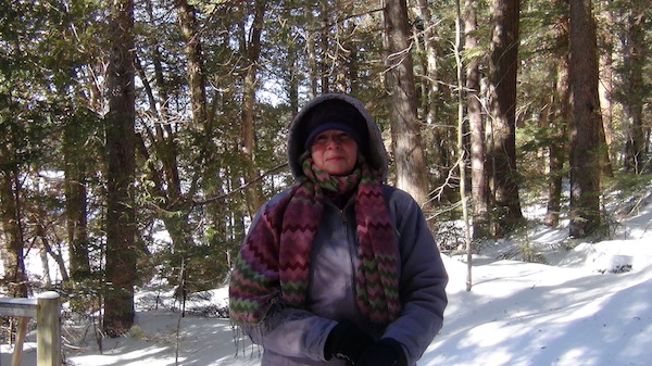
My partner-in-adventure is Gabrielle, she’s home from college on winter break and it's time to catch up on all of life's happenings. And, since 6-year-old Oliver is in school, this is the perfect time for the two of us to hit the trails for something a bit more involved than snow angels.

We head south out of the High Peaks and start our scenic one-hour drive to the southern Schroon Lake Region. Our destination? Natural Stone Bridge and Caves.

[img:schroonstonebridgecaves-sign.jpg]

Summer attraction turned winter destination

Now, I have been passing the sign for this attraction located off the Northway exit 26 for as long as I remember. But I haven’t actually been here since I was a toddler (and that was quite a long time ago). I was totally psyched to find out that it wasn’t just a summer attraction. In recent years, it has become a popular winter destination. Visitors can throw on their snowshoes, or rent equipment on-site, and hit miles of awesome trails on most Fridays, Saturdays, and Sundays. (They also have extended holiday hours and can arrange group tours on weekdays.)

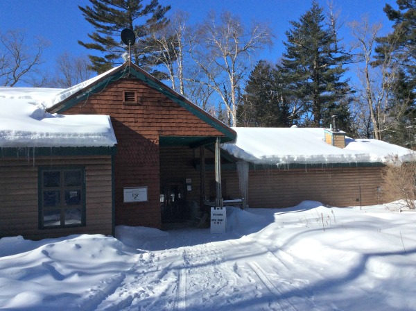
[img:schroonstonebridgecavesbldg.jpg]

We pulled into the driveway and found the store 'Open' sign. We were promptly welcomed by Greg, who has been running the family business for the past 15 years or so. He cheerfully greeted us and after establishing how much time we had and our level of experience, we had a plan of action. He explained all the little details: how to read the trail map, which routes we might want to take, what we should expect to see, what we should be aware of, etc.

[img:schroonstonebridgecavesmap.jpg]

Greg was also happy to share some of the history surrounding the place. It has been in his family since the Revolutionary War when a soldier relative was awarded the land. It went through a few changes of ownership (grandparents, aunts & uncles) until Greg became the most recent Rock Guy in charge.

[img:schroonstonebridgecavesgregu.jpg]

Time for a lesson!

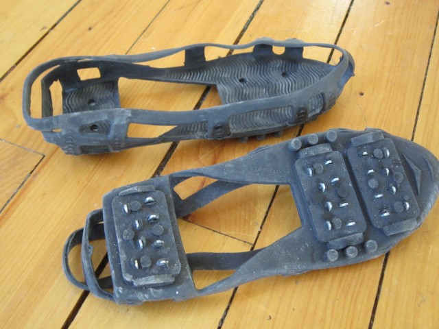
We hadn’t brought our own gear, so we were quickly suited up with the proper equipment and given a quick lesson. Now, you may be questioning the fact that we got a lesson - but here is where I must once again note how clumsy I am. I had never even tried on snowshoes, so Greg explained how the crampons worked, foot placement, and which way to work the intricate-yet-super-easy lacing system. (No problem, I got this!)

[img:schroonstonebridgecavescrampon.jpg]

We are ready to go and at the suggestion of Greg we decide to take the Stone Bridge Cave Loop and then move on to a few of the longer paths that connect to it. We planned on a few miles and probably an hour on the trail. That seemed like a good starting point, and a great way to try out a new activity.

[img:schroonstonebridgecavesready.jpg]

What to expect as you hit the trails

Within minutes we are out of view of the office and surrounded by nature. The trails are very well-marked and there are cool viewing spots and interesting objects to spy along the way.

[img:schroonstonebridgecavescaveloop.jpg]

Upon departure we had been given a laminated map to wear (smart move) as well as a card with alphabetical markers that explain different features that we may spy along the trail. For example, the letter J spied upon a tree was explained as pileated woodpecker holes. I think one of my favorite things was the light-hearted humor that was melded so seamlessly into some of the descriptions. To totally paraphrase one of the notes which identified a white birch, it ended with something to the effect of 'watch out when you look up, the tops fall off first.' A true fact, but a fun, informative way to pass along the info.

[img:schroonstonebridgecaveswoodpecker.jpg]

Little did we know that we might run into Sasquatch along the way, things just kept getting more and more interesting.

[img:schroonstonebridgecavesbigfoot.jpg]
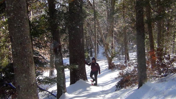
While I wouldn’t say we took a strenuous route - as a matter of fact, we weren’t anywhere near the expert trails - there were some decent hills and even an area with a rope ladder to ease the climb.

[img:schroonstonebridgecavesropetow.jpg]

We were soon in a great groove, and I have to admit I wish we had had more time - there are 14.5 miles of trails to explore and we hadn’t even done a quarter of the property. But, it was time for us to head back to the office and on to our next adventure - a warm lunch and some shopping and exploring in Schroon Lake.

Preview of summer season fun

As we made our way back toward the check-in area we took a quick tour of some of the summer season activities which are offered in addition to the Cave and Adventure Tours: gemstone mining, disc golf course, climbing wall, playground, ice cream stand, picnic area.

[img:schroonstonebridgecavesamgeode.jpg]

The store is full of fun items from locally produced items to exotic rocks and postcards. Who doesn't need a new coffee mug to remember their trip by? I can't say no!

[img:schroonstonebridgecaves-store.jpg]

Winding down

We returned our gear and Greg took a few minutes to highlight some of the winter activities. As mentioned earlier, there are self-guided tours which are available from 10am-4pm from Friday-Sunday. In addition there are Saturday Moonlight Evening Snowshoe Tours at 6pm by prior reservation (these fill quickly - call to ensure your place!). There’s also a great little fire pit area and hot cocoa to warm up with after a day on the trail. Yum!
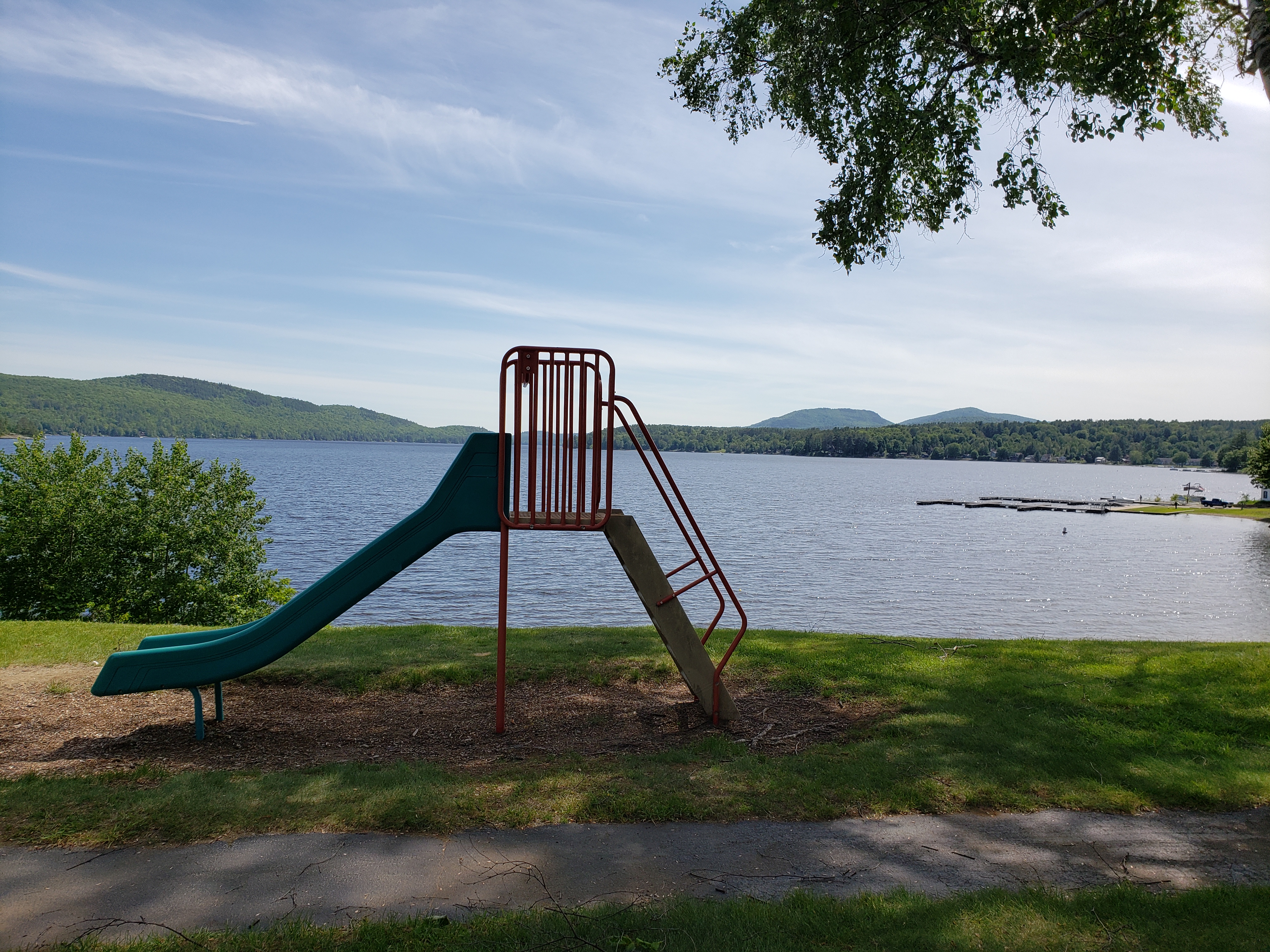
[img:schroonstonebridgecavesfirepit.jpg]

Depending on the amount of time you have and your level of experience, you can expect to check out part of the summer trail going over the Stone Bridge and down to Mediation Isle for a close up view of the Stone Bridge, Sawmill Waterfalls, and ice flows. Other trails include geological features including: sinkholes, large glacial erratic boulders, and vertical ledges.

[img:schroonstonebridgecavespretty.jpg]

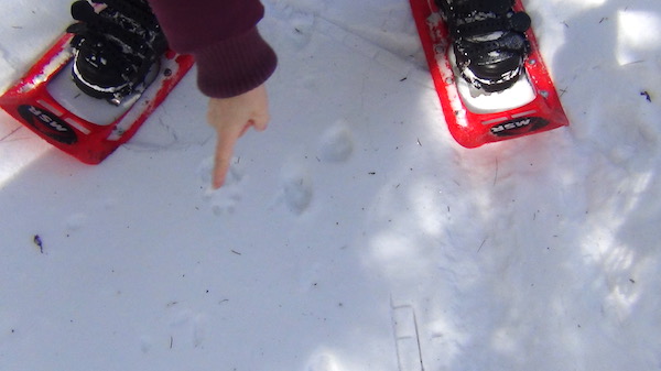
And, of course, there’s lots of local animal activity. You’ll encounter large trees and stumps felled by beavers, and tons of tracks in the snow (deer, rabbits, squirrels, bobcats, coyotes, turkeys, fishers, pine martins, and more). We saw evidence of this within minutes of starting our walk - of course, we have no idea what we were looking at, do you?

[img:schroonstonebridgecavestracks.jpg]

Here's a hint on the below pic - I couldn't make any phone calls until it dried out :)

[img:schroonstonebridgecavescelltrack.jpg]

Natural Stone Bridge and Caves will definitely be on our summer tour list. While I don’t think my little guy would enjoy snowshoeing for any great distance (he likes to ski and run and 'go super-fast’), he will LOVE digging rocks and running trails and exploring caves once the weather is warmer. And, I can’t lie, after looking at the pictures of the many Tour Adventures - I can't wait to return and actually see the caves! (Check out the summer adventure pics on their website.)

[img:schroonstonebridgecaveslookout.jpg]

Next up?

What a great day. Tried a new activity. Visited a new (very old) attraction. Got to walk some awesome trails and got some great girl-bonding time. Now that I have a little experience it's time to search for some other great snowshoeing trails in the Schroon Lake Region. Heck, I may even try downhill skiing again, Gore is right up the road, and so is the small hill in Schroon Lake! I’ve said it before, and I’ll say it again - I love the Adirondacks and all there is to experience! What should we do next? Suggestions happily accepted :)

[img:schroonstonebridgecavescoolpool.jpg]


To build a fire


Unless you’re going to lug a battery-operated space heater through the forest, a fire is your best bet for staying warm at night in the mountains. Campfires are allowed in most areas of the Adirondacks, but that doesn’t help if you can’t get one going.

First, let's take a look at the basics of fire starting, then we’ll bring it inside because nothing beats a wood stove or fireplace on a frigid winter night.

[img:fire-worship.jpg]

Assemble a kit

A fire starting kit is an essential item to have in your pack year-round. If you’re hiking here, you have to remember that temperatures can drop below freezing in the summer, and you should expect them to plunge below zero every night in the winter.

That means if you’re injured in the woods you’ll need to stay warm if you have to wait for help to arrive. Not to worry — it’s simple to put a kit together.

First, make sure you have something waterproof to keep your kit in. An old water bottle works well, as does a large vitamin or pill bottle. Just don’t use glass, as it can break.

The kit itself is pretty basic. Most importantly, you’ll need some tinder to light and a way to light it. The tinder can be made of many things. Peeled strips of white cedar bark work particularly well. Simply pull a few strands off the trunk of a tree, roll them up, and stick them into your bottle. Just rub the strands together to produce a fine duff that’s great for getting the rest of your fuel going.

[img:flint-and-steel.jpg]

Another option is to make fire starts. One way to do this is by packing dryer lint into a cardboard egg carton, pour wax over each compartment, and cut the whole thing into separate compartments for easy carrying.

These little beauties will burn for about 15 minutes, but they need a good flame to get them going. I’ll get more into fire starting in a bit, but the takeaway is to bring both. Use the fine dander and cedar bark to get the egg starters going.

To get a flame, you’ll need something that can start even when wet. A striking stick is a cheap and reliable source for a spark, but it takes a bit of practice to get good at using it. Waterproof matches produce a flame, but they're difficult to light and they don’t burn for very long.

I like to bring a striker and a lighter, which I keep in a plastic baggie. The striker will work no matter what, but a good old fashioned lighter is a lot easier.

Time to blaze

The teepee shape is the best technique for starting a fire. But before that, it’s important to understand what a fire needs. That's simple: oxygen and fuel.

Here’s how to make it all come together. Start with a pile of tinder, which is a fancy way of saying stuff that burns easily. That can be tiny sticks, dry leaves, newspaper, or that cedar dust from your kit.

[img:fire.jpg]

Make a small mound of tinder, then arrange some small sticks — called kindling — over it in the shape of a teepee. You can place a few bigger sticks on that, just make sure there’s space between everything to provide good airflow.

Light the tinder, and if you’ve done it right the kindling should start to take. If you’re outdoors, this whole process will be more difficult if the wood is damp. The dryer lint and wax creation I described above comes in handy for this. They burn slowly enough to dry small sticks and ignite them, which in turn will begin to dry the kindling.

[img:fire2.jpg]

Log cabin

A teepee structure is best for a bright, low maintenance fire, but if you’re looking to cook you’re better off going with a log cabin. I like to start with a small teepee, which I flank with two large, dry logs. I bridge the first two logs with two others, taking care not to topple the teepee. The idea here is simple: as the tepee burns the log cabin will catch, and the teepee will eventually collapse, creating a bed of coals.

As the bottom logs burn down they will add to the coals. Just keep placing more logs on the cabin and you’ll have a hot, slow burning structure with a level enough surface to place a cooking grate across for cooking.

Reel it in

[img:fire3.jpg]

Trial and error have taught me that the teepee-log cabin method works great in a wood stove. The only difference is I start with a three-log cabin so I can easily add fuel to the teepee to get some good coals going. Once that happens, I add the fourth log and sometimes even throw another pair on top so I don’t have to mess with it as much. Within a half an hour, our house is cozy.

The key to running a wood stove is controlling the damper. Ours has one on each door — they’re big and round and open and close by turning them clockwise or counter clockwise. I keep the dampers wide open for the first half hour or so of burning. That provides plenty of air to get the wood blazing away. I then add a couple of eco bricks and close the dampers about three-quarters of the way. The result is a slow burning pile of coals that puts off a lot of heat.

Eco bricks are a great alternative to firewood, and they can be purchased at most home improvement stores. They’re essentially just compressed sawdust, which happens to burn hot, clean, and slowly. That means they don’t put out much smoke, they don’t leave much ash behind, and you don’t have to add more as often. They’re also cheap — it’s usually less than $4 for a pack of six, which will easily get you through a cold winter night.

Schroon Lake is beautiful during the colder months. Spend some time outside, then cozy up in one of our warm lodging properties.

In case you missed it!

In case you missed our top-rated social posts from the past year, here you go!


Video:

The Adirondack Marathon Distance Festival was amazing this year, as usual!


Photo:

Lake ahead!
[img:14707940_1253555361354058_4010784236060897305_o.jpg]
Time to hit the lake!


Blog:

Go big!
[img:Fishing.jpg]
Schroon Lake fishing is awesome whether you choose the big lake or a backcountry river! Check out our fishing blog to learn more.


As the snow settles in and we realize the year is quickly coming to a close, we're looking back and giving thanks for all the great adventures we've had this year. Check out these top posts you may have missed:

High on the Coast

Cast, climb, clip in

Cool as ice

Tri to discover us

Going up?

Just Ok

Ski, eat, repeat

This year plan to go ADK for the holidays!

Celebrate the holidays in Schroon

It’s finally the holiday season! I love the holidays because it’s just one big party for more than a month straight. Seeing friends and family you haven’t seen in a while, meeting new people and making new friends - there's so much fun in store each holiday season!

Schroon Lake is a wonderful place to head for the holidays. The town has a holiday decorating contest each year, so the streets are lined with holiday cheer and visitors are sure to feel like they've entered a winter wonderland. Gather with friends or family from all over in this easy-to-get-to destination, or have a romantic winter getaway with your favorite lady or dude.

Meet in Schroon

The Schroon Lake Bed and Breakfast welcomes groups of adults at their cozy B&B to celebrate together in style and comfort. Owners Mark and Sharon Piper have the place closed through Dec. 1 as they work on readying their beautiful home for colder weather, and they look forward to booking groups after that.

The romantic Victorian-style inn has three rooms to book in the winter, and they offer a scrumptious farm-to-table breakfast each morning. They even have a package that includes a sleigh ride!

[img:schroonlakebb8.jpg]

The B&B is just one of the many options; Schroon Lake has plenty of other quaint and beautiful places to stay as well!

It's time to party

If you really want to get your cheer on, there are some great places to hold a holiday party! Just imagine it: You won't have to deal with any of the shopping, prep, or decorating yourself - just show up and party down!

Witherbee’s Carriage House is a cozy restaurant with the feel of a fun hunting lodge in its upstairs pub area, and two more formal dining areas downstairs. The restaurant is currently closed down as owner Patty and her elves spruce up the place and ready it for the holiday season.

[img:1477461-10152112591625730-654446883-n.jpg]
Patty can work with you on whatever kind of party you want to have, from formal, sit-down dinners to buffets to some apps and cocktails. She's even toying with the idea of combining multiple smaller parties, which would cut down on costs for the party hosts. Witherbee's will cater gatherings outside of the restaurant as well.

And don't miss their Ugly Sweater Party! It gets started at 7 p.m. Thursday, Dec. 8, and besides seeing all the wonderful ugly sweaters, you'll enjoy drink and food specials plus door prizes and raffles.

Witherbee's also has behind it a set of three new log cabins, which in total can sleep up to six people. If you make reservations ahead of time, they'll have the cabins warm for you. And the cabins have a full view of the gorgeous lake.

Flanagans Pub and Grill is also known to host a festive holiday party. Their space is limited, so they can host parties for gatherings smaller than 60 people or so. But they can offer a variety of options for party planners including heavy hors d'eurves, buffets, and served sit-downs, from apps to desserts.

Flanagans is one of those places that goes all out with their holiday decorating; owner Penny says some people say they overdecorate. They are indeed past winners of the local holiday decorating contest.

[img:1492638-689839347701180-575958813-o.jpg]

Sticks & Stones is open Thanksgiving day with a special Thanksgiving feast for those who don't want all the hassle of cooking. (You're seriously expected to brine things for multiple days? That sounds EXHAUSTING. I'm clearly not a cooking-type person.)
They also host parties and other events, though availability is limted depending on the date and the size of the event, so contact them soon!

[img:1005035-659154507440470-2117378643-n.jpg]
Sticks & Stones and Witherbee's are both usually known for great New Year's Eve parties as well, though plans have not solidified for either yet.

If you're looking for something super casual and kid-friendly, DeCesare's Pizzeria will host parties or will cater parties off site. Think of how happy your picky nephew will be to see that stack of pizza boxes arriving!

Shop till you drop

While you're in Schroon, don't even try to leave without spending some knocking out friends and family on your holiday gift list. There's so much fun shopping to do in Schroon!

Most of the local businesses will be participating in a Small Business Saturday promotion where special things will be going on all over town the day after Black Friday. So make sure to get there and shop small business!

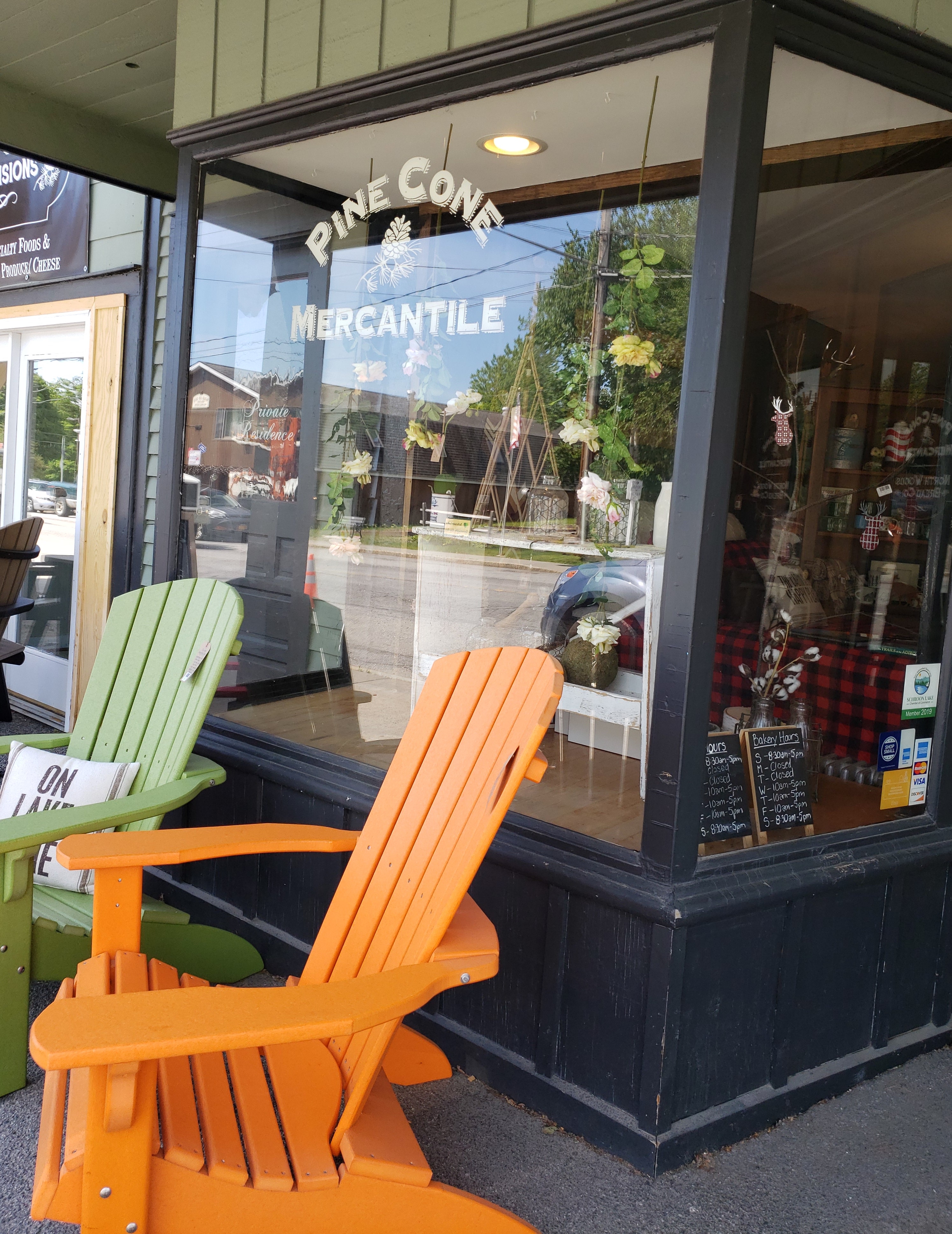
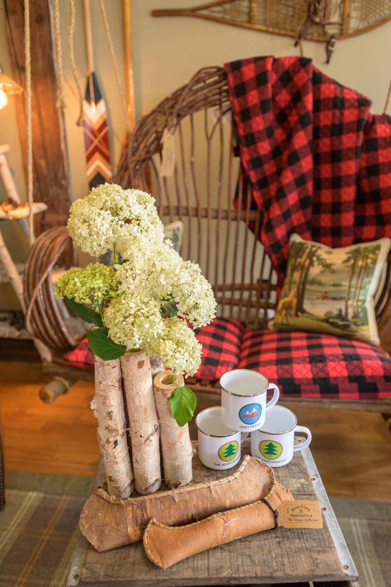
Pine Cone Mercantile is a great place to start. Owner Lisa has a whole stash of holiday merchandise that she's stowing away in her stock room, because she firmly believes in not putting it out until after Thanksgiving is done. But on Black Friday, she'll unveil all the beautiful goods that will help you have a magical Chistmas, Hannukah, or whatever you celebrate.

Just a few examples of the adorable stuff that she has in store for her customers (all of which I want to buy so please if you see me there make me leave before I spend all the money ever):

[img:img-1341.jpg]

[img:img-1353.jpg]

[img:img-7635.jpg]

[img:img-7674.jpg]

[img:img-7860.jpg]
In addition to their glorious holiday-specific merch, Pine Cone has lots of great year-round stuff for gifts, like candles, glassware, blankets, greeting cards, dog accoutrement, and more. (All of which I would really love to decorate my new house. So if you're giving me a gift this Christmas, I'll take anything from here! Thanks.)

Besides the “Cheesestravaganza” the Pine Cone is having during Small Business Saturday festivities (North Country Creamery will be on hand taking pre-orders for holiday gift boxes), the Pine Cone will also have special goings on for Black Friday: Complimentary cocoa, hot mulled cider, and holiday treats. They'll also host an in-store "Holiday Selfie Contest," with the winner receiving a custom Adirondack Map Tote Bag and $50 gift certificate. Runners-up will receive $25 and $15 gift certificates.

On Dec. 21, Pine Cone Mercantile will hold a Procrastinor's Party. The store will stay open late, till 8 p.m. (they're typically open 10 a.m. to 5 p.m. Wednesday through Sunday this time of year), and there will be light apps to munch on in the store. And once you've spent half your paycheck there, you can take your receipt to Flanagans Pub and get a discount on your bill there.

[img:img-1329.jpg]
As you leave the Pine Cone, hop down the street. The Schroon Lake Pharmacy has a surprising amount of cute gifts in addition to the typical drug store toiletries and meds. They have a whole rack of coloring books, plus games and other toys for kiddos. They also sell small gifts, scarves, and figurines, as well as a wide variety of greeting cards.

The Towne Store is open right up till Christmas Friday, Saturday, and Sunday. The 134-year-old general store has, uh, basically everything. ALL THE THINGS. Everything your little shopping-addled brain could possibly imagine. Like, there's so much I'm not even going to bother listing anything. Just if you need anything at all, go there and you'll find it.

[img:img-1357.jpg]

If you ever make it out of those places, cross the street to Giant Mountain Art Studio. Seriously, don't skip this one. Tony, who runs the place, usually has about 30 artists showing their work there, and they're all local or regional. Most come from within the Blue Line border of the Adirondacks, though a few are from just outside the Adirondacks.

And it's not just paintings to hang on the wall — though there are tons of paintings that are absolutely breathtaking and would make spectacular gifts. But he also has pottery, jewelry, scarves,

[img:img-1376.jpg]
ornaments, greeting cards, and even hand-made guitars, crafted by a local artist from old logging lumber harvested from the bottom of the lake.

[img:img-1373.jpg]
And he keeps a array of work on display that ranges from the abstractiest of abstract to stone-cold realism.

The pieces run the gamut from $8.75 to tens of thousands of dollars.

[img:img-1366.jpg]
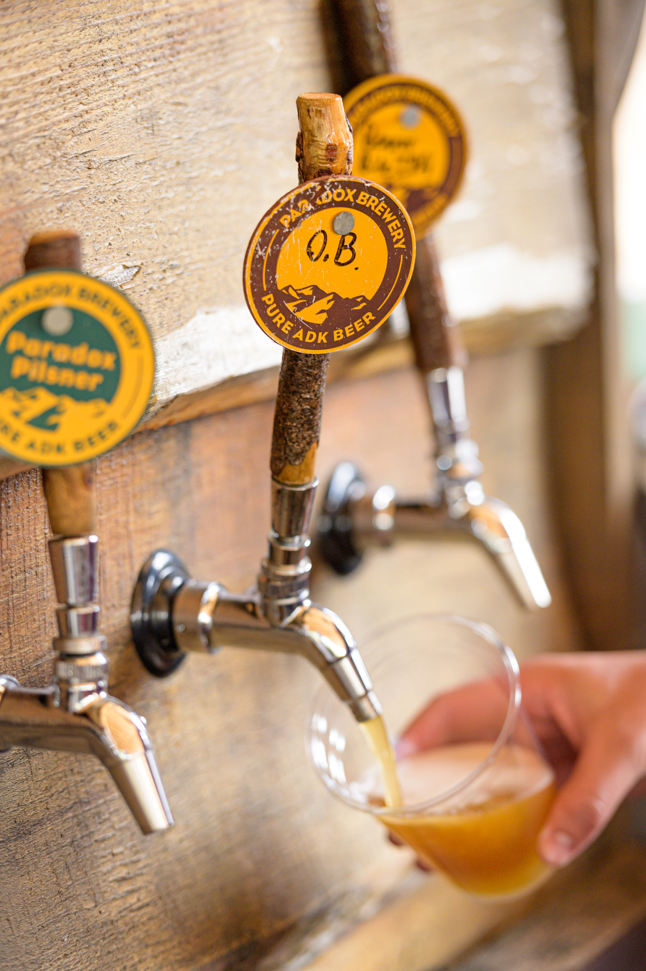
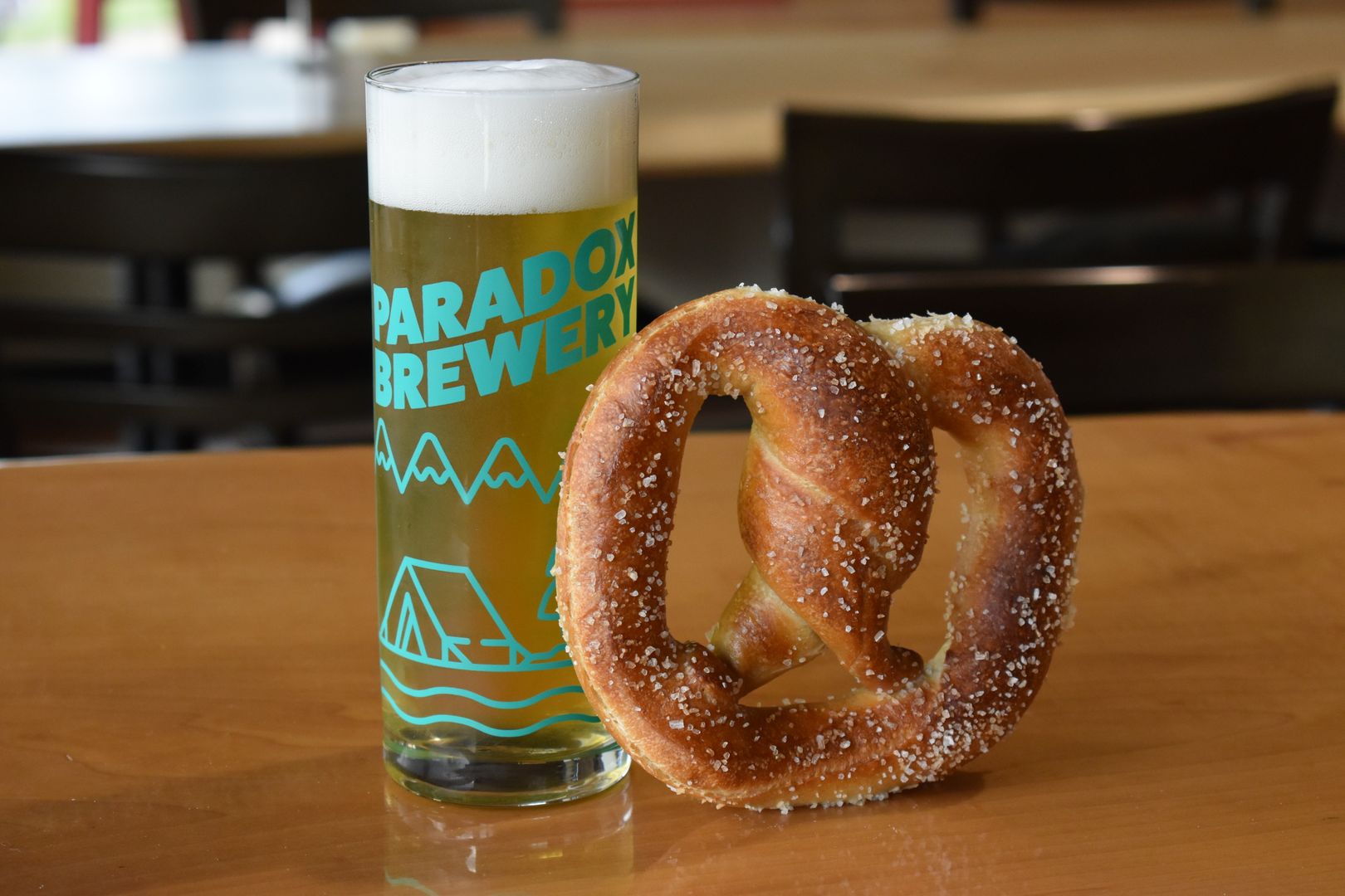
If somehow all those places in the main street area weren't enough for you, there's still more to choose from. But in the end, if you're still searching for the perfect gift and somehow come up short, a growler from the Paradox Brewery is sure to win you points with the lucky recipient! (I'll take the IPA.)

Holiday happenings

Schroon Lake hosts some delightful events this time of year. The Schroon Lake Olde Tyme Christmas will be held once again Saturday, Dec. 10. Though the details for this year's event have not yet been announced, previous years have included the annual Christmas Bazaar at the Schroon Lake Community Church, lots of sales at stores throughout the community, lighting of the community’s Christmas tree, caroling, a Nativity Procession that leads to a gospel reading at the Catholic church’s manger, lighting of the Schroon Lake Senior Citizen Center’s Memory Tree, and, of course, Santa will ring in the season by finding out what all the little girls and boys want for Christmas.

We can expect just as much fun and holiday cheer this year!

With all this and more, Schroon Lake will be an amazing place for your Adirondack holiday vacay!

Unsolved Mystery of the Central Adirondacks

Great camp devastation

The Adirondacks are an amazing part of New York’s history. They are so intricate, and most would argue there is no comparable place to this beautiful forest preserve. The building of Great Camps during the 1880s and 1920s confirm the desire to escape to the Adirondacks for rest and relaxation. The word vacation is believed to have originated when people would “vacate” the hot city to head to their camps. Thus, creating the adjective of vacationing.

[img:rs48790-20170626-dji-0099-lp-newcomb-camp-santanoni-matador-shoot-mavic2lpr-2.jpg]

Great Camp Sagamore, White Pine Camp, The Point, and Camp Santanoni are just several of the many camps that were once occupied regularly in the Adirondacks. However, each camp is so different from the next. Camp Santanoni is what we will focus on during this journey.

Camp Santanoni

The day was gorgeous as usual here in the mountains. No matter the season, it always seems like a fabulous day. We even had a few warm days in October. That was our cue to explore the Great Camp and the stories behind it. I had heard a few stories of the property but the one that wouldn’t leave my mind was that of 8-year-old Douglas Legg.

Camp construction began in 1891 by a wealthy banker from Albany, Robert Pruyn. Decades later the property was acquired by the Melvin family in 1953. This camp was where the extended family would gather during the summer to enjoy the crisp mountain air. They enjoyed many wonderful family memories, unfortunately the last memory of this place left them empty.

[img:img-3134.jpg]

On a beautiful summer day in June of 1971 the family decided to take a trek into the woods to enjoy their property. They began hiking and encountered patches of poison ivy. Little Douglas Legg wasn’t properly dressed to trek through the forest in his shorts. His uncle instructed him to return to the camp to change. His brother and cousin reported seeing him pass them approximately 50-60 yards away from the main lodge. That was the last time anyone ever saw Dougie.

The search is on

The search began immediately that night, June 10, 1971. The news spread fast that little Dougie had gone missing. This search started with around 30 people the first night. Unfortunately, the search continued as Dougie wasn’t found. The days went quickly and the search crew expanded rapidly each day. There were locals, college kids, camp counselors, employees of the NY Conservation Department, and even the U.S. Air Force overhead. They had hounds, infra-red technology, and hundreds of people on the ground.

The days went on with a few moments where hope was restored in the finding of Dougie; A hound had tracked his scent, but it was lost at the edge of a pond. The pond was drained and they came up empty-handed. Dougie was still missing and hope was fading. The weather was inconvenient as the rain kept interrupting the search. The danger of the search grew as mucky bogs and sinkholes started appearing and putting searchers in harm's way.

The last true trace of Dougie was a set of shoe prints picked up by a bloodhound — however, again, the rain washed away the scent. The search continued for weeks on end, with less and less evidence of Douglas being found. The Melvin family had hired their own group of professionals from California to search, but they were also unsuccessful in their endeavors.

[img:screen-shot-20240628-at-12-36-00-pm.png]

The search was called off by state police six weeks later. By that time, they believe that 80 square miles were covered in the search for Douglas. This case remains a tragic and upsetting topic for this beautiful area.

The unsolved mystery of Douglas Legg did, however, assist in improving the way searches were conducted in the Adirondack region. The New York Department of Environmental Conservation is now in charge of search and rescue missions in the wilderness areas of NY.

Leads to false hope

The case has stayed open since the day Douglas Legg disappeared. There have only been two reported stories. First, a woman swore her relative had taken part in the disappearance of Dougie; however, she was found to be a psychiatric patient.

The other story is intriguing and quite possibly could have aided in the finding of Dougie if it was brought to authorities. This story unfortunately wasn’t told until 20 years after it occurred, when a hunter heard about the story of Douglas and felt compelled to speak with authorities. He had been hunting near Newcomb Lake and stumbled over what he believed to be a small skeleton and skull. He drove all the way from Montana to show them where this had occurred. At the time this hunter was on leave from the Navy and didn’t want to get in trouble for where he was, so he never reported the incident. Unfortunately, 20 years later they found nothing at this location.


[img:rs114826-img-2145lpr.jpg]

I found this case very heart wrenching and upsetting. I decided to go check out Camp Santanoni for myself with my husband. The entire way there I couldn’t stop thinking of the many people affected by Douglas Legg’s disappearance. I can’t even imagine if this happened in my life. His family, friends, and community worked so hard to try and find and save him.
 

Stuck in the moment

We rented bikes from High Peaks Cyclery as we were traveling from Lake Placid for a day trip. On the way down the foliage was beautiful and the drive relaxing. As we pulled into the parking area you could immediately see the remains of the Great Camp. We hopped on our bikes and cycled towards the Main Lodge. As we passed the Gate Lodge, Farm Manager’s House, barn ruins, Creamery and much more it was almost as if time had stood still. The history behind this land is amazing. The leisurely bike ride went on for 5 miles until we reached the Main Lodge.

[img:img-3156.jpg]

When we reached the lodge it was a beautiful structure. We started walking around and exploring the areas that were unlocked for the public. While walking through I tried to imagine the days when Douglas Legg roamed the house and surrounding area. I couldn’t help but feel as though his presence was still at this beautiful Great Camp. Lunch quickly approached and we decided to set up on the boat launch and take a moment to relax and refuel for the bike ride back. I sat overlooking Newcomb Lake and still couldn’t believe that the possible 1,000 people that searched this area could not find Dougie.


[img:rs50181-044a0931lpr.jpg]

This unsolved mystery, although miserable, is a huge part of Camp Santanoni. I must say I will always think of the little boy and his disappearance when thinking of this area. I hope that some day this case is able to be closed and that those who mourn may finally feel at peace. Little Douglas did leave a legacy, however; because of him the search and rescue missions in the Adirondacks are now organized and efficient.

Travel the winding roads of the Adirondack Hub this season. We have comfortable lodging and delicious dining waiting for you after a day of exploring our local history.


Get lost!

Big city vs. a small-town girl

I was driving through a larger city last week, freaking out about the onslaught of stop lights and the multiple lanes of traffic, when I got into a debate with my travel mates. Everyone in the car was from what I term "downstate" - y'know, not from the 'dacks. And oddly enough, they all contend that it was much easier to navigate and travel in urban/suburban areas.

What? It seems my friends are all crazy.

They listed their concerns when traveling in the mountains:

  1. GPS doesn't always work
  2. Darkness
  3. Windy roads
  4. Not many people
  5. Wild animals
  6. Getting lost
  7. Let's sum it up - basically fear of the unknown...

This made me start thinking about perspective. I took a minute to counter their reasons with my own take:

  1. Paper maps - never leave home without one! Honestly, I have horrible luck with most gps gadgets - and there are awesome detailed maps available for folks like me.
    (Yeah, I know this makes no sense, but I can read an old-fashioned map better than following a little blue dot on my phone.)
  2. Cars have lights, cell phones have lights, and what do you think flashlights were made for!? What I suggest is that you actually stop, turn off the lights, and take some time to gaze up at endless starry night sky.
  3. All the more reason to slow down and enjoy the views! One of my favorite things is wondering what will be revealed around the next corner or at the top of the next hill.
  4. Shhhh. Hear that? It's the sounds of nature and peace.
  5. Yeah, aren't they cool? Keep your distance & respect their space and you should be fine.
  6. One of my favorite things! It's how we find a new favorite restaurant, a new trail to hike, a beautiful view. a secret swimming hole!
  7. Everything is unknown at some point in our lives. Isn't it time to conquer the fear?
[img:img-2361.jpg]

Change of scenery

I have to stop and wonder, though, if others face a bit of trepidation when planning their Adirondack travels.

My friends' fears of the secluded mountain life are exactly the things I embrace. I mean, if asked to list my favorite memories from my days spent in Schroon Lake as a child, they would include feeding bears at the Minerva dump (no, you can't do this anymore), random drives that always had us exploring little town stores which led to discovering tasty local goodies, filling our drinking water jugs out of fresh mountain springs, and swimming in secluded watering holes.

[img:img-1772.jpg]

That being said, and it being the spooking season, I do have one favorite memory that would probably freak my friends out if I shared it with them. It still gives me goosebumps once in a while - although I have to say it's led to many scenic rides and cool discoveries over the years as I try to retrace my route. It's from a point in my childhood when my brother and I got lost on a random backroad long before gps & cellphones were the norm. You really can find some pretty amazing things when you just hit the road and drive - of course, you may never be able to find it again.

(The following excerpt is from a blog first published in 2014. For the record, it's a true story and I'm still searching.)


A Ghost of a Memory

[img:img-4428.jpg]

It was like a Ghost Town; actually, it was a Ghost Town…

One day, and this memory has stuck out in my head for years and years (27 to be exact), we found a Ghost Town. I mean, a real, honest to goodness Ghost Town. We had taken a drive down a backroad as was tradition, and eventually turned off onto an unmarked right-hand road - dirt path is probably more accurate. Soon enough we were forced to stop driving, and we decided to park and walk along the path for a bit. When the trees eventually opened up we found ourselves in the midst of our biggest discovery, ever. It was a town, maybe that’s being generous - it was a small encampment. Every building was abandoned; weeds and trees grew up through the broken foundations. Doors hung off of their casements in crooked angles. In my memory, every house is a bleached off-white, grayish color. The color you see on decaying houses along the ocean’s coast. The color of tombstones.

There was a circle in the center of the small village - I can only imagine it was the town green, a gathering place for town meetings. This, too, was severely overgrown. And, I can remember as we looked around (snooped around), opening doors and noting that many items still remained in some of the buildings, I can remember the distinct feeling of being watched. Of wondering if we were alone. Of having a chill settle in, and an uneasy feeling come to rest. My brother felt the same, though he didn’t openly mouth these words; I could tell by his stance and the forced levity in his voice as he spoke - he was "creeped out" (for lack of a better description).

[img:img-4426.jpg]

I kept catching glimpses out of the corner of my eyes of movement. Wanting to seem brave, I laughed it off, chalking it up to what must be an animal - a bird perhaps, or chipmunk, something quick and fleeting. We decided to start walking back to the car when movement to our right caught our attention. Since the sun was shining, and obviously, obviously this creepy feeling couldn’t be real, we goaded each other into investigating. What we discovered was a graveyard that may have included the whole population of this town. There were very few variations of last names, and I can remember thinking, "wow, this family lost 6 members all within a year." I felt the chill wear off as the inquisitiveness kicked in. I walked from stone to stone in wonder, reading aloud the names. Acknowledging that they had existed, wondering how they lived and why the families had settled here. There were children, so many children’s markers. I wondered if anyone had survived. Was there a plague? Famine? This needed investigating when we got home.

As the sun started to lower, we knew we needed to make our way toward the dirt path and civilization. But it was hard, we didn’t want to leave - we felt a pull to stay to keep taking in the scene. We looked around one last time, still feeling watched - but not scared, or at least not as scared as earlier. Okay, who am I kidding - of course I was scared.

That evening when we talked to my dad about our discovery, he mentioned that it might have been an old settlement called Irishtown. He remembered his dad telling him about it when he was a young boy... (cut to the present!)


It was a dark and stormy night…

Actually, it was a gorgeous fall day, and I was on a mission. I was going to get lost again, find the town of my childhood memories, and prove to myself that my childhood imagination may have been a bit more active than normal on that day.

I'll admit, I was a bit scared. I mean, c'mon it's the Halloween season and the woods are a little darker and louder than during the hot summer months. Aas I had no intention of investigating on my own, I brought along Greg, my willing (or at least, agreeable) partner-in-adventure.

Following some suggestions from a local, we narrow down our route options and hone in on our number one contendor - Loch Muller. This has got to be it! The directions are as follows: Drive up Hoffman Road for 6 or 7 miles. There is a paved road now called Loch Muller - park at the end. Across the road there is an unmarked wooded trail. Follow it for half a mile or so into the woods. Eventually you will come to a cemetery. "It’s creepy." Enough said, I am sure this is my town.

Loch Muller - easier said than found...

We head out of Paradox and into Schroon Lake, proper, where we stop to refuel both the Bug and our bellies. We’re driving a vintage VW (sans heat) - which I have to give a shout out to as we've been cruising through the backroads of the Adirondacks & it hasn't broken down at all today!

[img:img-4416.jpg]
After passing through town and Greg noting that Flanagan’s was hopping - because it’s Sunday Football (hint, hint) - we turn right onto Hoffman Road. We follow our directions to a tee, and I am amazed to find Loch Muller so easily. However, everything is backward - this can’t be my town. The path was supposed to be on our right - not our left. I’m disappointed, but I do think it’s pretty intriguing that this path is not marked in any recognizable way - maybe my memory had failed me, maybe the town was off to the left. Either way, we are here and it’s worth investigating - I do still love reading historic gravestones.
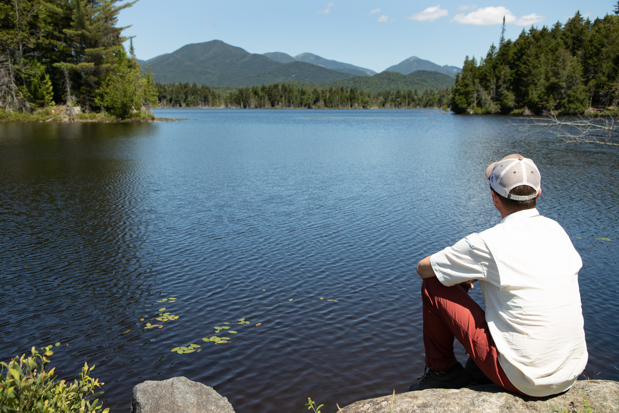
[img:img-4418.jpg]
We park the Bug, and Greg gets out a neon yellow T-shirt. I seriously didn’t even realize he owned anything this obnoxiously 80s. He indulgently explains that it is hunting season and he knew we would be hiking in the woods. Obviously, I am not dressed appropriately, but I’m loud, so hopefully that counteracts my lack of glow.
[img:img-4419.jpg]
It’s late afternoon as we head into the woods. The leaves are crunching under our feet, and the sunlight is coming through the overhead branches in patchwork patterns. Besides the occasional random sound in the woods that has me quickly looking around, it is mostly silent. A comfortable silence, but of course, a bit "creepy" too - thanks to my over-active imagination.

[img:img-4422.jpg]
We cross a picture-perfect stream (yes, I literally took some pictures), and the path turns slightly upward. I’m beginning to wonder if we’ve taken the wrong path when a small sign appears.

[img:img-4423.jpg]
It is rotting and leaning against the base of a tree: "Cemetery Loop" with an arrow directed toward the right. So, maybe it doesn’t say, "Kim’s Secret Ghost Town," but at least we’re getting somewhere. We walk on, and soon can spot the stones through the trees.

[img:img-4437.jpg]
As we round a slight bend, the entrance presents itself, along with a sign of "Unmarked Graves" with a list of names. Right away, Greg notes how many children there are.

[img:img-4425.jpg]
We enter the cemetery and it amazes me that this small piece of history exists tucked away so far from civilization. The stones are deteriorating, and we can’t help but note that if we were creating a Halloween scene, this would be it. The ground is uneven, and it makes me a bit uneasy as I realize that the heaves are actually, most likely, bodies in the unmarked graves. This may not be a town, but we have discovered a great piece of history.

[img:img-4433.jpg]

We take the times to read the stones, or at least the ones that are still legible.

[img:img-4427.jpg]

The sun is getting lower and we need to head back home. The woods are active, I hear a few odd sounds - a high pitched moan, and maybe it’s just my imagination, but I have to confirm the origins: "What was that? It’s a bird, right?" My counterpart answers with a shrug and an indifferent, "I don’t know." (For those playing along at home, that was not the right answer.)

[img:img-4434.jpg]

I quicken my steps and feel a great sense of relief as I finally spot the bright blue Bug through the trees. We load up and after one failed start (yes, I almost freaked out), we are up and running.

We choose to head northwest — we don't know where our next stop will be, but we're not scared of getting lost; although often winding and narrow, Adirondack roads were built with intention. At some point we are bound to encounter a town or small village, and from there we will get our bearings through the mountains and head back home. Or, perhaps we'll finally discover my ghost town. I mean, really, how hard is it to find an abandoned town in the mountains??

The search continues…

Ready to conquer your fears of losing your way on the backroads? Discover your own ghost town? Get lost in the Schroon Lake Region this season - you never know what you might find! But, please, if you find my ghost town, write down the coordinates, send me the gps info (not that I'll be able to progam my electronics correctly), and take pictures. One day my mystery will be solved!


Hunting for a Ghost Town


A Ghost of a Memory

Chasing a ghost of a memory - or a ghost town as the case may be - is, well, like chasing a ghost.

[img:img-4428.jpg]

Light as a feather, stiff as a board…

As a child I had dozens of sleepovers at my dad’s camp on what is now the paved and populated, Sweeney Fields Road in Schroon Lake. Back then, we knew it as Old Sweeney Farm Rd - a simple dirt road with 2 other seasonal camps located several miles from town off the winding Hoffman Road. There was no electricity, it was well before cell phones and internet access, and it was, simple to say, the perfect breeding grounds for pre-teen girls to tell ghost stories, hold "seances" with the highly sensitive store-bought Ouija Board, and basically try to scare each other into a sleepless night.

It was also the perfect launching point for my older brother to take me on adventures - aka "he didn’t want to sit around playing games and babysitting," so off we’d go. Hunting for something, anything, to make the day more memorable. I was obsessed with the "olden days" at that point - due perhaps to my love of Almanzo Wilder and the Little House on the Prairie series. And, I think my brother - in his newly acquired second-hand car - just liked to drive down random roads. It may have seemed a bit morbid, but we often stopped at old graveyards. I loved to read the tombstones of so many people that had come before me, and it always stuck out to me when there was a marker of a child around my age; I felt a great empathy toward them - maybe they walked down the same roads, hopped across the same rocks in the river.

It was like a Ghost Town; actually, it was a Ghost Town…

One day, and this memory has stuck out in my head for years and years (27 to be exact), we found a Ghost Town. I mean, a real, honest to goodness Ghost Town. We had taken a backroad as was tradition, and eventually turned off onto an unmarked right hand road - dirt path is probably more accurate. Soon enough we were forced to stop driving, and we decided to park and walk along the path for a bit. When the trees eventually opened up we found ourselves in the midst of our biggest discovery, ever. It was a town, maybe that’s being generous - it was a small encampment. Every building was abandoned; weeds and trees grew up through the broken foundations. Doors hung off of their casements in crooked angles. In my memory, every house is a bleached off-white, grayish color. The color you see on decaying houses along the ocean’s coast. The color of tombstones.

There was a circle in the center of the small village - I can only imagine it was the town green, a gathering place for town meetings. This, too, was severely overgrown. And, I can remember as we looked around (snooped around), opening doors and noting that many items still remained in some of the buildings, I can remember the distinct feeling of being watched. Of wondering if we were alone. Of having a chill settle in, and an uneasy feeling come to rest. My brother felt the same, though he didn’t openly mouth these words; I could tell by his stance and the forced levity in his voice as he spoke - he was "creeped out" (for lack of a better description).

[img:img-4426.jpg]

I kept catching glimpses out of the corner of my eyes of movement. Wanting to seem brave, I laughed it off, chalking it up to what must be an animal - a bird perhaps, or chipmunk, something quick and fleeting. We decided to start walking back to the car when movement to our right caught our attention. Since the sun was shining, and obviously, obviously this creepy feeling couldn’t be real, we goaded each other into investigating. What we discovered was a graveyard that may have included the whole population of this town. There were very few variations of last names, and I can remember thinking, "wow, this family lost 6 members all within a year." I felt the chill wear off as the inquisitiveness kicked in. I walked from stone to stone in wonder, reading aloud the names. Acknowledging that they had existed, wondering how they lived and why the families had settled here. There were children, so many children’s markers. I wondered if anyone had survived. Was there a plague? Famine? This needed investigating when we got home.

As the sun started to lower, we knew we needed to make our way toward the dirt path and civilization. But it was hard, we didn’t want to leave - we felt a pull to stay to keep taking in the scene. We looked around one last time, still feeling watched - but not scared, or at least not as scared as earlier.

That evening when we talked to my dad about our discovery, he mentioned that it might have been an old settlement called Irishtown. He remembered his dad telling him about it when he was a young boy. To this day, that is what I have referred to when discussing our Ghost Town - I’ve always assumed it was Irishtown. Now, 27 years later, I felt it was time to head back and rediscover it.

It was a dark and stormy night…

Actually, it was a gorgeous fall day, and I was on a mission. I had heard tell of several accounts of hauntings and paranormal activity in the Schroon Lake region - especially in Paradox, and I wanted to track down some more substantial evidence. However, I had no intention of investigating on my own - so I brought Greg, my willing (or at least, agreeable) partner-in-adventure along.

[img:img-4410.jpg]

Our first stop was at the historic Paradox House Retreat. This beautiful, restored Bed & Breakfast is described as Great-Grandfathers classic 3-story Adirondack Victorian Farmhouse. It is a serene artists retreat settled on a quiet 80 acres of land. I was given a lead that there may have been some "ghostly activity" at the House, as well as in the adjacent barn.

[img:img-4412.jpg]

We were fortunate to talk to Merritt, the current owner (along with wife Analise) and direct descendant of Great-Grandfather Irving Tyrrell who built this house in the 1890’s. The land had been awarded for service in the Revolutionary War, and his great-grandfather chose to live, farm and run his own mill on it. Later the 13 bedroom house was converted into a summer boarding house for "city folk" and most recently it was converted into a comfortable and intimate B&B.

Merritt confirmed what sources had leaked to me. He had, on occasion, been known to tell ghost stories. As a matter of fact, he hosts a story night every year or so, which has become a bit of a tradition in the community - tales are told, snacks shared, children are welcome. Sadly, he also confirmed that his tales are, well, tales. And, that the barn is a "relatively quiet" old building. And, while I could easily spin this story to say the house had an eerie feel about it, that would be a total lie - it is a bright, welcoming, peaceful home. As a matter of fact, I felt a sense of calm as soon as I stepped on the property. Darn it: strike one.

[img:img-4413.jpg]

BUT… he was also happy to give me a few leads on my quest to find my Ghost Town.

  • First, he mentioned Charlie Hollow off the Charlie Hill Road. While this sounded like a plausible lead, there was one major discrepancy: I know we headed right on Hoffman Road - away from town - to get to Charlie Hill, we would have had to turn left and back toward town.
  • Next, we talked about Irishtown (lights go off in my head!!). This was the name my father had mentioned, oh so many years ago. Unfortunately, although it fit many of my criteria, it was better documented and seemed more main stream than the town we had discovered. But it might still be a contender.
  • Finally, I described the route I thought my brother and I had traveled. Ah, yes, now we get the lead I have been waiting for: Loch Muller. This has got to be it!! The directions from Merritt are as follows: Drive up Hoffman Road for 6 or 7 miles. There is a paved road now called Loch Muller, park at the end. Across the road there is an unmarked wooded trail. Follow it for half a mile or so into the woods. Eventually you will come to a cemetery. "It’s creepy." Enough said, I am sure this is my town.

Loch Muller - easier said than found...

We head out of Paradox and into Schroon Lake, proper, where we stop to refuel both the Bug and our bellies. We’re driving a vintage VW (sans heat) - which seems fairly appropriate since it, too, was brought back to life. (Ok, that’s a bit of an analogy stretch - even for me - but c’mon I had to give a shout out to this cool ride that has us cruising through the backroads of the Adirondacks & hasn't broken down at all today!)

[img:img-4416.jpg]
After passing through town and Greg noting that Flanagan’s was hopping - because it’s Sunday Football (hint, hint) - we turn right onto Hoffman Road. We follow our directions to a tee, and I am amazed to find Loch Muller so easily. However, everything is backward - this can’t be my town. The path was supposed to be on our right - not our left. I’m disappointed, but I do think it’s pretty intriguing that this path is not marked in any recognizable way - maybe my memory had failed me, maybe the town was off to the left. Either way, we are here and it’s worth investigating - I do still love reading historic gravestones.

[img:img-4418.jpg]
We park the Bug, and Greg gets out a neon yellow T-shirt. I seriously didn’t even realize he owned anything this obnoxiously 80’s. He indulgently explains that it is hunting season and he knew we would be hiking in the woods. Obviously, I am not dressed appropriately, but I’m loud, so hopefully that counteracts my lack of glow.

[img:img-4419.jpg]
It’s late afternoon as we head into the woods. The leaves are crunching under our feet, and the sunlight is coming through the overhead branches in patchwork patterns. Besides the occasional random sound in the woods that has me quickly looking around, it is mostly silent. A comfortable silence, but of course, a bit "creepy" too - thanks to all of the haunting research I have been conducting as of late.

[img:img-4422.jpg]
We cross a picture-perfect stream (yes, I literally took some pictures), and the path turns slightly upward. I’m beginning to wonder if we’ve taken the wrong path when a small sign appears.

[img:img-4423.jpg]
It is rotting and leaning against the base of a tree: "Cemetery Loop" with an arrow directed toward the right. So, maybe it doesn’t say, "Kim’s Secret Ghost Town," but at least we’re getting somewhere. We walk on, and soon can spot the stones through the trees.

[img:img-4437.jpg]
As we round a slight bend, the entrance presents itself, along with a sign of "Unmarked Graves" with a list of names. Right away, Greg notes how many children there are.

[img:img-4425.jpg]
We enter the cemetery and it amazes me that this small piece of history exists tucked away so far from civilization. The stones are deteriorating, and we can’t help but note that if we were creating a Halloween scene, this would be it. The ground is uneven, and it makes me a bit uneasy as I realize that the heaves are actually, most likely, bodies in the unmarked graves. This may not be a town, but we have discovered a great piece of history. So, for the count, this is strike two.

[img:img-4433.jpg]

We read the stones, or at least the ones that are still legible. Again, I feel a sense of peace as I say the names aloud, acknowledging that these souls walked the earth - almost 200 years ago. 200. I am humbled to see the markers of the children, I think how sad I would be to lose my 5 year-old due to the lack of medicine. I can’t imagine losing two, three or four children in a matter of years.

[img:img-4427.jpg]
I can’t imagine how hard life must have been, and how crazy our inventions would seem to these folks. I am more determined than ever to learn about the history of the Adirondacks, and after doing a bit of quick research this week, I will happily be re-visiting the Schroon Lake-North Hudson and Minerva Historical Societies and the Adirondack Museum.

[img:img-4434.jpg]
The sun is getting lower and we need to head back home. The woods are active, I hear a few odd sounds - a high pitched moan, and maybe it’s just my imagination, but I have to confirm the origins: "What was that? It’s a bird, right?" My counterpart answers with a shrug and an indifferent, "I don’t know." (For those playing along at home, that was not the right answer.)

[img:img-4442.jpg]

Next Up: Irishtown?

I quicken my steps and feel the relief of seeing the bright blue Bug through the trees. We load up and after one failed start (yes, I almost freaked out), we are up and running and decide to continue heading toward Minerva. It’s almost 5:30pm now, and that means my search has a limited window of opportunity. I am craning my neck to the right - straining to see up every road, trail, path and turn-off that we pass. Nothing matches my criteria. Nothing. But, I KNOW we were somewhere around here.

Eventually we come to a cross roads and I note an old cemetery to our right. We stop to investigate and as we peer up at the old church building I see the words, "Irishtown..." This is, although a wonderfully restored piece of history, not my ghost town. Strike three.

[img:img-4441.jpg]
I will say, though, after doing a bit of research - the settlement (originally called Dominic) would almost match my memory perfectly. IF it was abandond and all still standing at the end of an overgrown path. From the Stafford Gazeteer of 1813: "The settlement called Dominick was first begun about 1800 and contains a few families who have one sawmill, a grain mill and a school house in which are held the meetings for worship. The state road from Chester to Canton lies through this settlement."

The Ghost of a Memory…

My whole life I have been holding the memory of my Ghost Town. I’ve referred to it as Irishtown. My brother and I reminisce about it at family reunions - I know it’s real. I mean, really, how hard is it to find an abandoned town in the mountains?? I know, somewhere, out there, off a little backroad there is a path. I know if you follow it you will find an abandoned town. It may be totally overgrown by now, but I know if you find it, you will be as awe-inspired as I was. But, I beg you - if you find it, write down the coordinates, send me the gps info, take pictures. I know this wasn’t just a tale. This is my ghost story: My Ghost Town.

[img:img-4446.jpg]
Now... a bit thrown in for good measure. By choosing to head home via Irishtown and Minerva - we passed by a bit of Presidential History. Grab your bikes, mining gear and hiking boots, and find more info about Tahawus - where the road to the Presidency began for Roosevelt.

[img:img-4447.jpg]


A breath of fresh bread

Breads and sweets and more

Tucked away in the back corner of the Pine Cone Mercantile on Schroon Lake’s Main Street is one of the best hidden gems in the region. If you love baked goods, run — don’t walk — to the North Woods Bread Company!

[img:img-7578.jpg]

Sporting one of the freshest, cleanest-looking signage walls I’ve seen in a long time, NWBC is a powerhouse with a tiny footprint. Owner and baker, Edward Marks, has provided a much-needed addition to the retail scene in Schroon Lake. On the day I visited, Edward and his wife Lisa were hard at work labeling, selling, and going about the day-to-day business in their respective retail spaces. Lisa operates the Mercantile, and Edward the Bread Company. More on the Mercantile later.

A major change of careers

Edward, donning one of those long, ankle-length white aprons I love, came out to chat with me about his breads, their story, and his business philosophy. In 2014, Edward, a former antiques dealer in New York City, along with wife Lisa, a former fashion designer, made the decision to move full time to their summer retreat in Schroon Lake and chuck their respective careers in the Big Apple. The Mercantile and the bakery opened to their first customers in late summer of 2015. So far, they're very happy with what they’ve accomplished since then. The bakery has become a mainstay in the community in the 14 months or so it’s been open. Edward’s one big philosophy is keeping everything he sells affordable so that everyone in the community can benefit. The prices are definitely affordable.

[img:img-7585.jpg]


Too good to make it home!

I left the shop with an array of items to take home. Truth is, most of them didn’t make it home with us. For a little less than $10.00, I left with a muffin, a scone, two mini-boules and a 1 pound bag of homemade granola. The pumpkin muffin was the first to go and was absolutely scrumptious! It had just the right amount of sweetness, not to overpower the flavors of both the pumpkin and the subtle spices. And it was dense and rich. The streusel topping was like nothing I’ve had before. You’ll have to pick one up next time they offer them as it’s impossible to describe! Just know it was amazing. Same goes for the cranberry/orange scone (another one of the items that didn’t make it more than 10 miles up the road). The subtleness of the flavors and the perfect amount of sweetening and light drizzle of orange icing made for one of the best scones I’ve ever eaten.

[img:img-7581.jpg]

An array of awesomeness...

In the bread department, the offerings of the day included Black Pepper and Fig Boules, Caraway Rye Rustic Loaves, Multi-grain Seed Boules, White and Whole Wheat Sandwich Loaves and Minis/Half Loaves, as well as a couple of day old loaves at half price. I brought home one each of Black Pepper & Fig, and a multi-grain mini boule. They were equally as amazing as the muffin and scone.

[img:img-7591.jpg]

Edward also makes his own granola. This is the deal of the century. For just $4.95 you get a pound of really wonderful homemade granola!

[img:img-7580.jpg]

The North Woods Bread Co. is open Wednesday through Sunday form 10 a.m. to 5 p.m. I would highly recommend you arrive early in the day for the best selections. As previously mentioned the prices are very, very reasonable. Each day Edward posts the list of what’s in the bread cases for the day on the North Woods Bread Co. Facebook page. He rotates the variety very nicely throughout the week. Sweet treats are generally available only on weekends, and are mostly made by Lisa, who also assists Edward when needed. It pays to have each other close by for help when needed!

In addition to baked goods, coffee is also available, as is a selection of locally produced cheeses from both North Country Creamery in Keeseville and Sugar House Creamery in Jay. I’ve sampled cheese from both these producers in the past and can attest they are some of the best available anywhere.

[img:img-7586.jpg]

Don't forget to browse the mercantile

As a side note, make sure you take some time to browse the Pine Cone Mercantile since you have to pass through it on your way to the Bread Company (smart design there!). Edward’s wife Lisa is the proprietress. She’s created an impressive display of furniture, home decorating accents, and gifts in a warm and inviting atmosphere. It’s so cozy I just wanted to sit down for a while and read a book on one of the very comfortable couches! There is something in just about every price range from gifts to furniture. One of the pieces is a dining room table made from reclaimed barn wood, made by Storied Boards in Lake George.

[img:img-7599.jpg]

If you are planning a visit and expect to spend a night or two, make sure you check out the lodging options. Maybe I’ll run into you in the bakery. I know I’ll be making a lot more visits to this wonderful place!


Put these places on your ADK must-visit list!

Bitters is bang-up

A seriously local brew

The in on Deer’s Head

Sweet smell of chocolate

Squeaky cheese

Cocktail creations

Follow the Melody

Glacial Litter or Unforeseen Beauty

Jim and I were in search of an abandoned road, a deep valley, and a summit — not necessarily in that order. This was sure to be an adventure. It was the first week of September and strangely the weather resembled that of a typical July day, thick in humidity and boasting a rising heat index. There was hardly a cloud in the sky to offer us a reprieve from the rays of the sun, but fortunately we got an early start and the canopy of the maple and beech trees shaded us.

I had received a bit of beta from a friend in regards to Bailey Hill, the summit we were in search of. It supposedly had a large glacial erratic on the summit, which was essentially the highest point, and we would need to somehow scale it — but just how big was it, or was it just another “big fish” story? I had a notion to bring a length of rope to help aid our final ascent onto the boulder, but through a rush to get rolling in the morning I failed to act on it.

[img:9DS_0864.jpg]

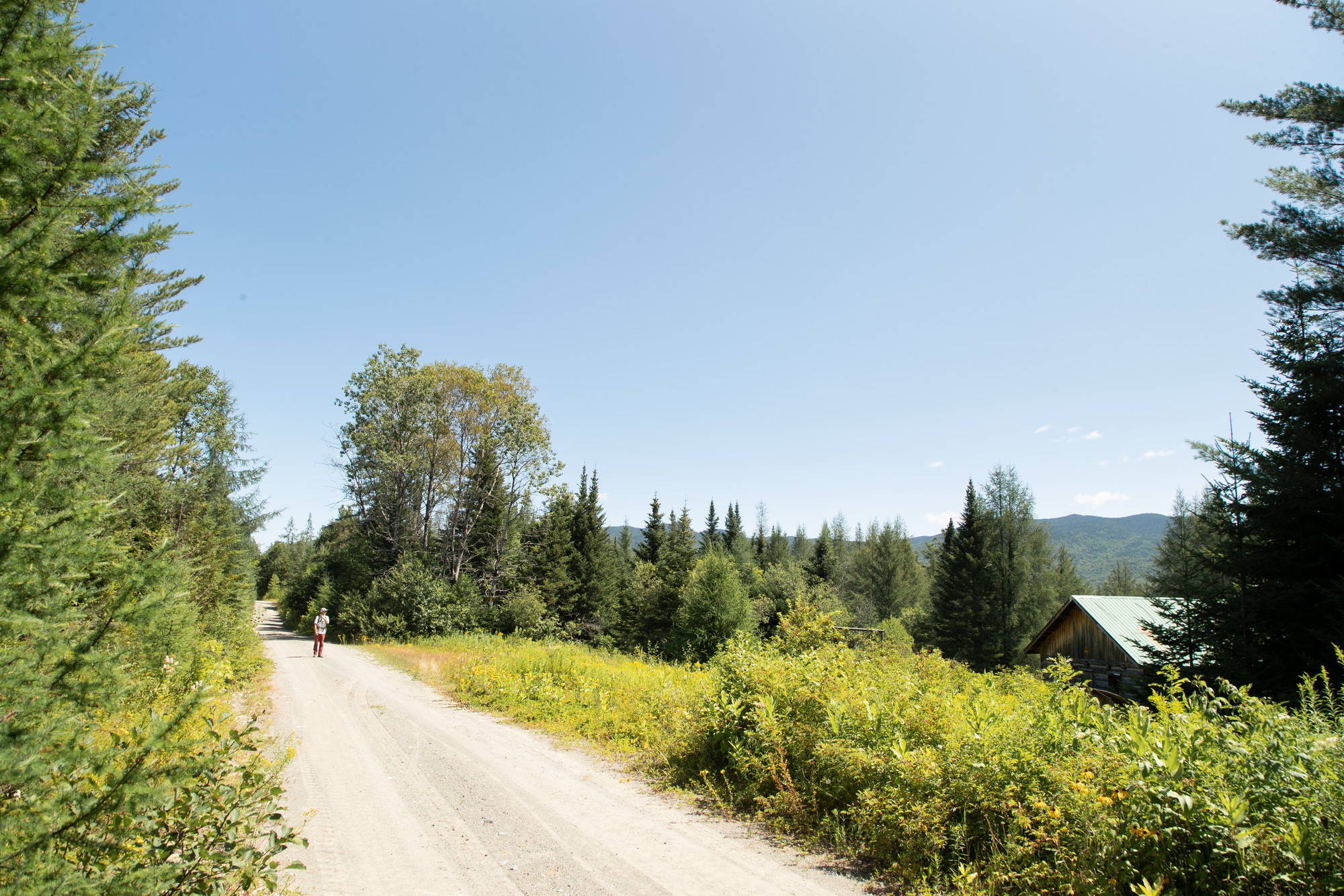
We arrived at the Loch Muller Trailhead for Hoffman Notch and Bailey Pond ready to hit the trail. We used the trail toward Bailey Pond which according to my USGS map is considered to be a continuation of Loch Muller Road. This old road, now well forgotten and abandoned, went through the valley east of Bailey Hill and ended near the base of a small bump on Washburn Ridge. Washburn Ridge is a rather large expanse of land spreading from Loch Muller to Blue Ridge, a land mass of curiosity for me.

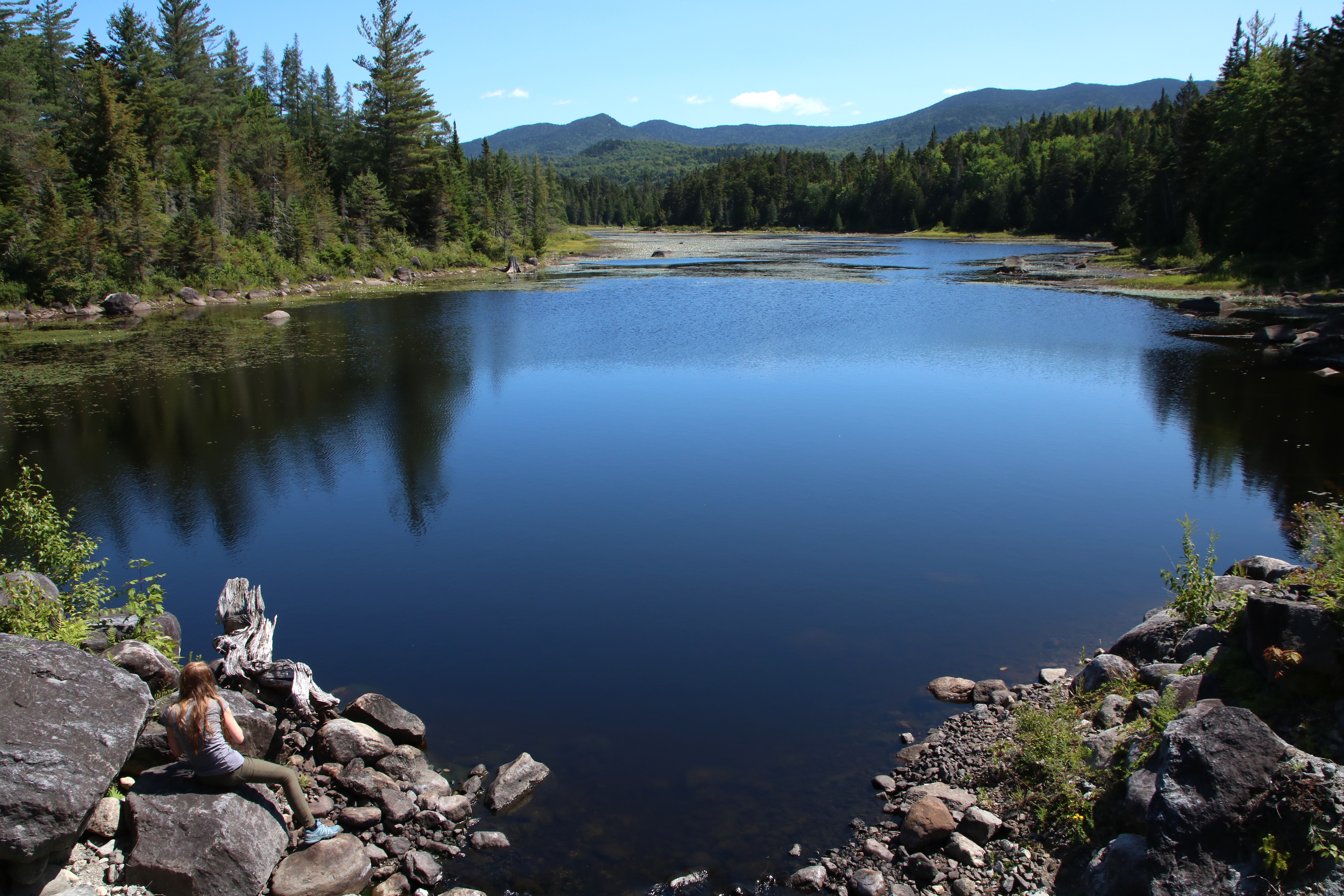
The trail to Bailey Pond moved by swiftly before us and of course we had to walk the extra couple-hundred feet to the shore to take a gander at it. The dry weather has definitely taken its toll on the pond, but its beauty still remained; Hayes Mountain reflected in the placid water like a sentinel to the area, watching guard, protecting its smaller brethren.

[img:9DS_0863-2.jpg]

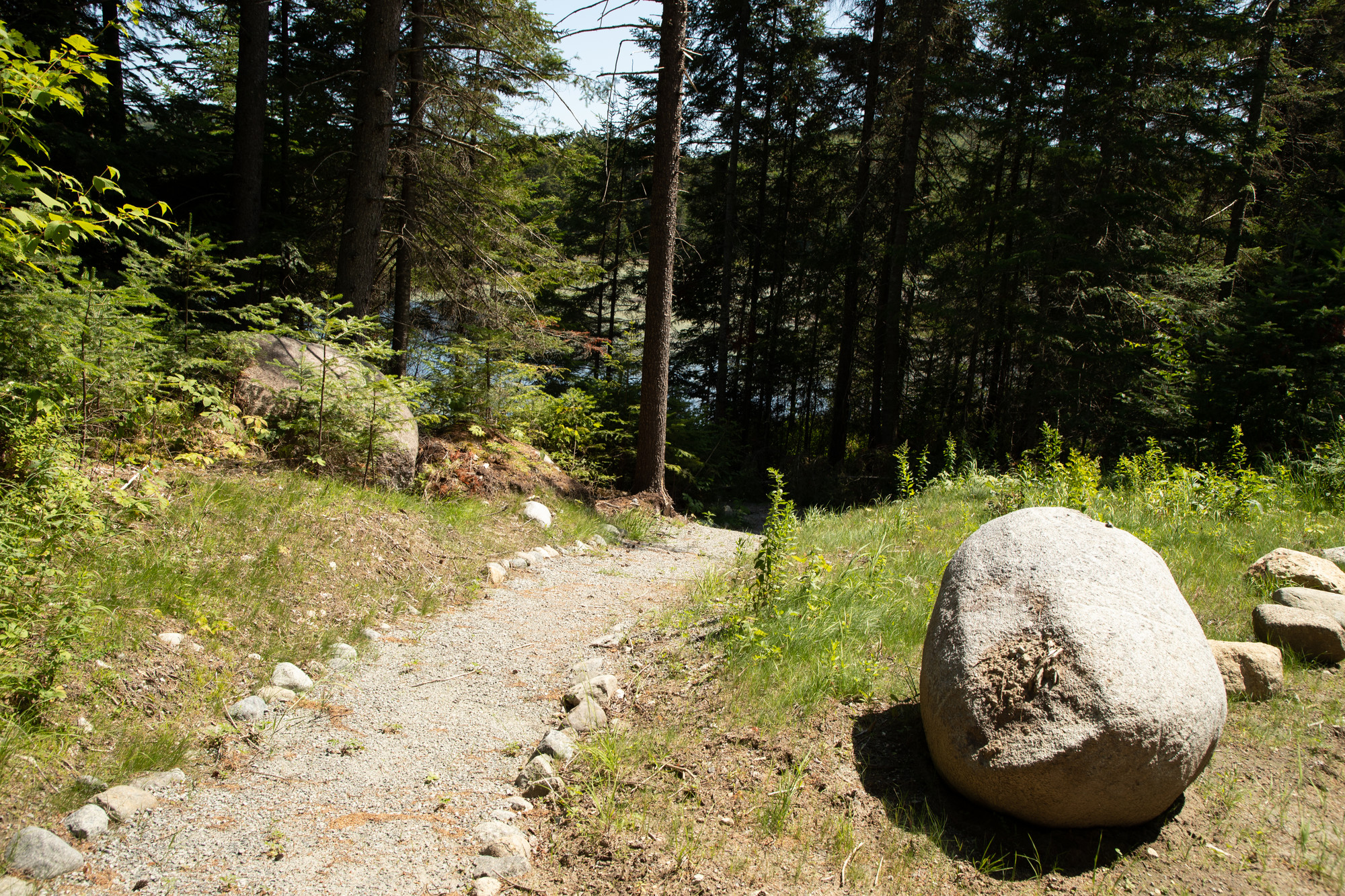
Loch Muller Road continued beyond the trail to Bailey Pond — we would use this as long as we could to gain the ridge on the south side of Bailey Hill. To clarify, this 'hill' is noted as 3050-feet — perhaps hill isn't quite an accurate term. The road remained well-used along the old trail toward Marion Pond, but as soon at swung left out of the valley, it pretty much disappeared into the forest, as did we. From this point we started our bushwhack toward the boulder-topped summit. The forest was open with hardwoods, beech nuts littered the ground, black bears would surely soon follow. High in fat, the beech nuts are a main source for these bruins to get ready for their winter hiatus.

[img:9DS_0866.jpg]

[img:9DS_0868.jpg]

Once on the ridge the contour lines spread out and offered us a relaxing hike. Dotted with fern glades, small rocky outcroppings, and only a scattering of conifers we enjoyed nearly every step of the adventure. The ridge unfolded in front of us and we quickly neared the top. The highest point of land was just prior to the erratic, but the “pet rock” was obviously much higher.

The scramble to the top was an interesting proposition, one worthy of a short video, but lucky for us no one was watching. The boulder stood 12-feet in height and was massive in girth. It was well-rounded, and even if there were foot-holds and hand-jams we would have been battling the slippery and loose moss it was layered in. We decided it would be in our best interest to not climb it — but that wasn’t going to happen. We went in search of a couple of dead trees to prop up against a live one to use an impromptu ladder. We found two, both of which were, what I would call, “a piss-poor idea.” These two were rotten and not all that stable; I went in search of a third tree. Then I heard: “That wasn’t too bad,” as Jimbo managed to climb his small stature to the top using the other two. Weighing a good 75-pounds more than him, it would be questionable for me to use the same route. What the heck, I would give it a go. At about 5-feet off the ground I was able to reach up and grab a small pole-sized yellow birch and I pulled myself to victory. But now, how the heck would we get down?

Luckily, gravity did all the work getting us down. All we had to do was point our toes in the right direction and land flat and sound. Bracing our backs against the boulder we slid and landed on the soft spruce needle and moss-layered ground, with a small thump we were there.

[img:9DS_0869.jpg]

Located to the east of us was Bailey Pond Inlet and a small high mountain beaver pond, at least that’s what the map and our GPS showed. We were not all that confident that it still existed in the sense that water would still be left in the bowl. Would it be more in line with a grassy field tucked into a deep valley between us on Bailey Hill and the lower flanks of Washburn Ridge? Of course, we must go, because a close second to a mountain’s summit is a valley’s wetland.

Nature is full of genius and the fact that this secluded peak was so welcoming and the others around it are so violent, just solidified this belief. Our descent into the valley was steep, but broken up with land shelves allowing us a gentle conclusion to the mountain. A short distance from the summit we stood on the shore of the hidden wetland, looking out over a grassy layer with a marshy bottom. Too marshy for us to wander out further than 20’ or so in search of the perfect picture and soggy feet.

[img:9DS_0875-2.jpg]

It was unfortunate that we couldn’t use the grassy field as an escape down through the valley; we would have to climb slightly back into the hardwoods and out of the conifer -lined shore to make any decent time at all. The undulating hills gained us much more unforeseen elevation and the chin hobble added a bit of frustration. We soon came upon an old beaver dam, one which must have blown out with age and drained the once gleaming pond that existed here. Downstream of the beaver dam was more grass and another dam, but the bottom was dry and offered an easy stroll further downstream where the wetland receded and the inlet’s rocky bottom reared its trail-like face.

[img:9DS_0877.jpg]

This was also roughly the area where the Loch Muller Road made a hard turn up Washburn Ridge and the spot we hoped to find it; however it was, like all roads and trails whose use goes unwarranted, returned to nature. We turned to Bailey Pond Inlet and the rocky trail it provided us as a clear route back to the trailhead, and we rock-hopped our way downstream. We made excellent time, slipping now and again on the moisture coated rocks, but we were soon at the crossing of Loch Muller Road — at least where it was supposed to be, but no remnants made themselves apparent. We made for the woods once again and another crossing of the old road, this time a dried-up streambed, and here was a cable, a support for a bridge perhaps? Also a few old cans, beer of course, and a soup can — maybe this was from a camp along the old roadway? Then, just feet away, we were back on the portion of the old road we followed in, easy to define and fast to hike.

[img:9DS_0879.jpg]

At the end of the day, over a cold beer at the trailhead, we appreciated our adventure as we do with all our outings. We were happy to have found what we were looking for, more than just solitude and history, we discovered a bit of glacial litter as well.

Make the Schroon Lake Region your Adirondack basecamp for your next hiking adventure. Here you'll find great places to fill your stomach and rest your head after a memorable day of outdoor adventures.


This week the ADKs rock on:

Hamilton rocks

The day I quit rock climbing

6 degrees to Kid Rock

Some rockin’ pieces

Boulder dash

Heart of stone

Rum of ages

Success!

You have successfully entered this contest. Be sure to check your inbox for your customized travel inspiration.

Success! Message Sent.

Thanks for being awesome. We have received your message and look forward to talking with you soon.

Thank you!

Thanks for being awesome. You can now download the guide.