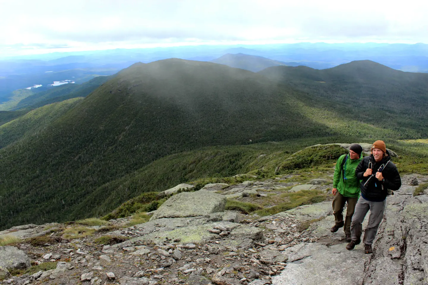
The 46 High Peaks are awe-inspiring, alluring, and mysterious. The deep valleys between the mountains are wet and mossy green, and boulders punctuate the open forests there, creating an impressive preview of the towering cliffs, rocky summits, and landslide scars found up high. Striking and spectacular, these peaks beckon hikers looking for a challenge — and make no mistake, climbing any one of them is indeed a challenge.
While the bulk of hikers head to the popular trailheads found in the northern section of the High Peaks region, those aren’t the only places from which to access these mountains. Dozens of peaks can be summited from the two major access points that are off of Route 28, between Newcomb and Schroon Lake. The trails are just as scenic as the northern routes, but they’re often less crowded.
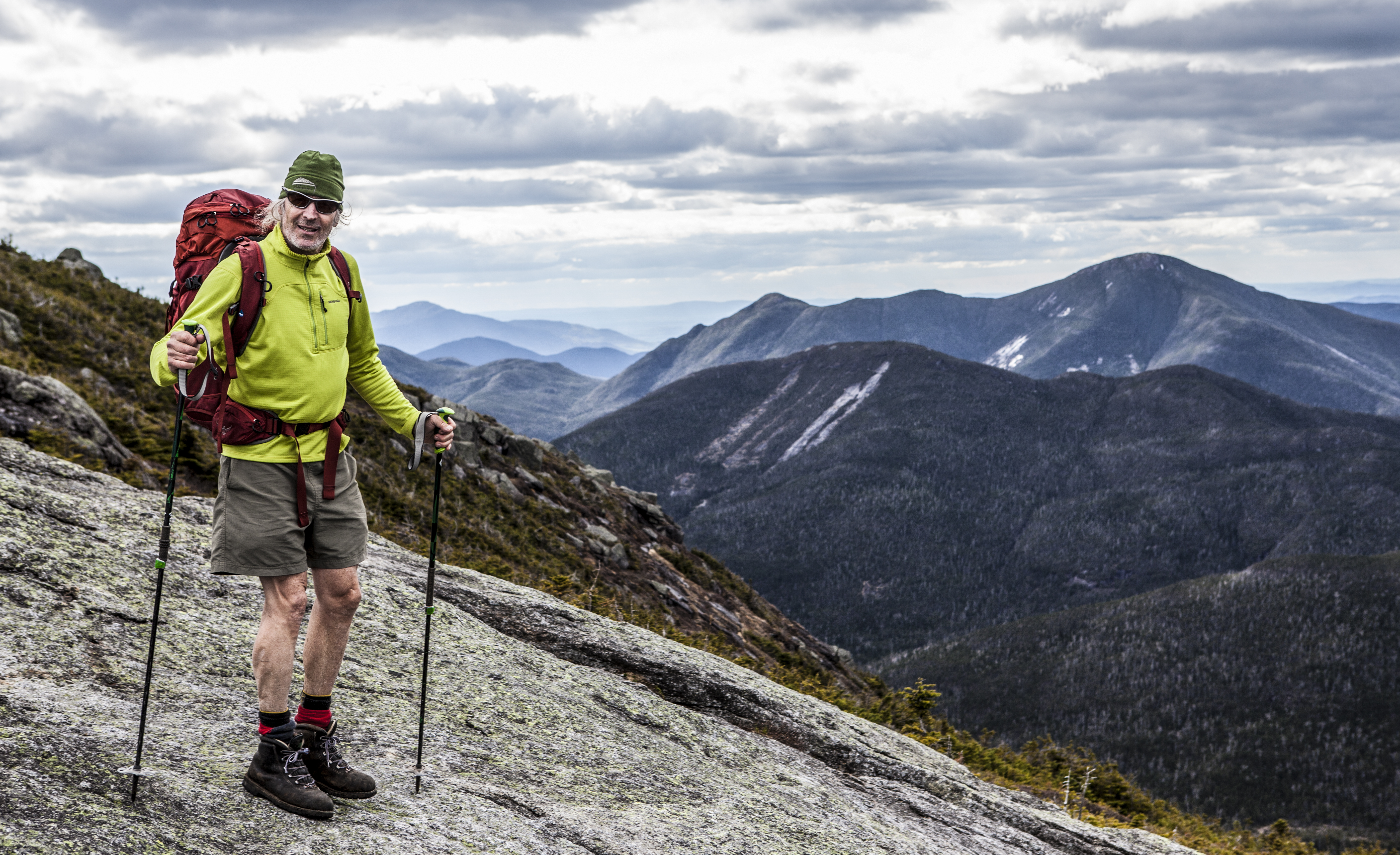
Always be prepared when hiking, even if it’s a short trail. Bring plenty of water and food, keep some extra layers in your pack, and follow Leave No Trace principles. And above anything else, always be prepared to turn around if darkness descends or the weather starts to turn. The mountains will be there, so be safe!
Upper Works
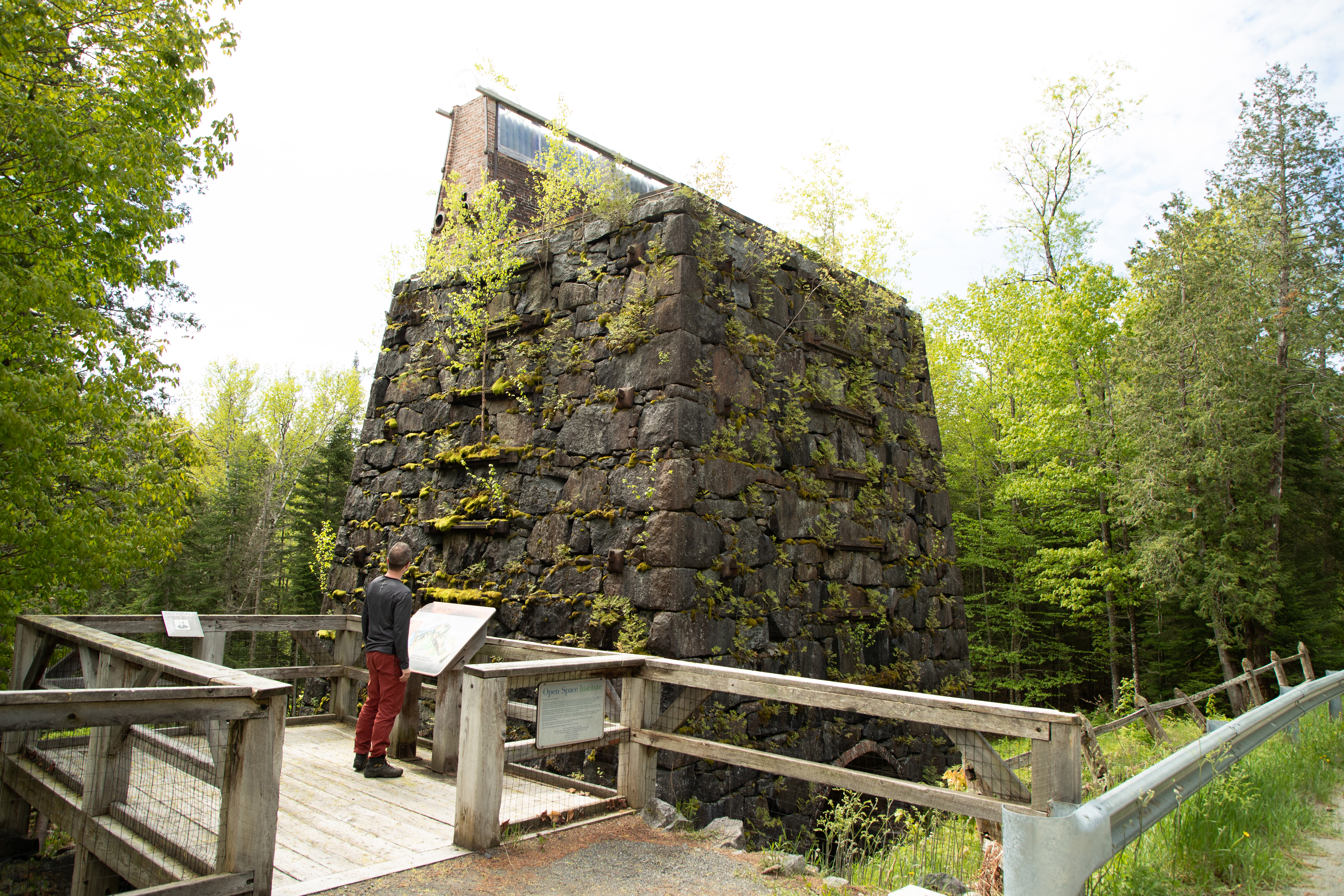
Before we get to the spectacular selection of trails that are available from the Upper Works parking area, we have to talk about the drive in. The road snakes along the Hudson River before entering the site of Tahawus, an old mining town. Only echoes of the town remain, like the enormous blast furnace that greets visitors as they enter this once-vibrant place. Now, old stone chimneys stand in stark contrast to the nearby trees, and most of the buildings have been replaced by informational plaques that give a feel for what this town was like in its heyday. To get a real sense of place, take the little trail up the hill that’s across the street from the blast furnace to get a peek at the nearby mountains.
Don’t get too distracted by the history of Tahawus, though — the Upper Works trailhead is just ahead, and from it there are dozens of miles of trails to explore. The most popular path heads straight to the Flowed Lands, a stunning area with great views of Mount Colden and Avalanche Mountain. Set up your basecamp here, but be sure to bring a bear canister — the area’s popularity with people has also made it popular with black bears.
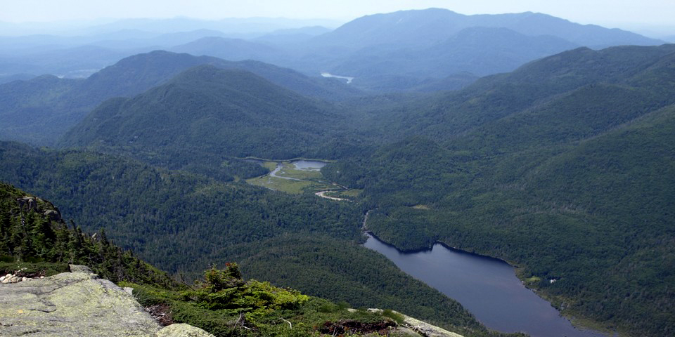
Other options include a less-traveled way into Indian Pass, where a 1,000 foot cliff awaits, or a long, tranquil hike to the remote Duck Hole and Preston Ponds.
From the Flowed Lands, a number of hikes are available. Colden is an obvious option — it's the one with all the slides that's front and center when you arrive at the water's edge — and many other High Peaks are nearby, including Marcy, Cliff, Redfield, and Skylight. Keep in mind that “nearby” is relative, though. None of the hikes in this area are easy, and all of them require some serious elevation gain over rough, mountainous terrain. If you’re looking for quick day hikes, there are better places to explore.
Elk Lake
Elk Lake is on private property, so don’t plan on making that part of your adventure, but there are two trailheads here that get you into some of the most rugged, beautiful scenery in the High Peaks.
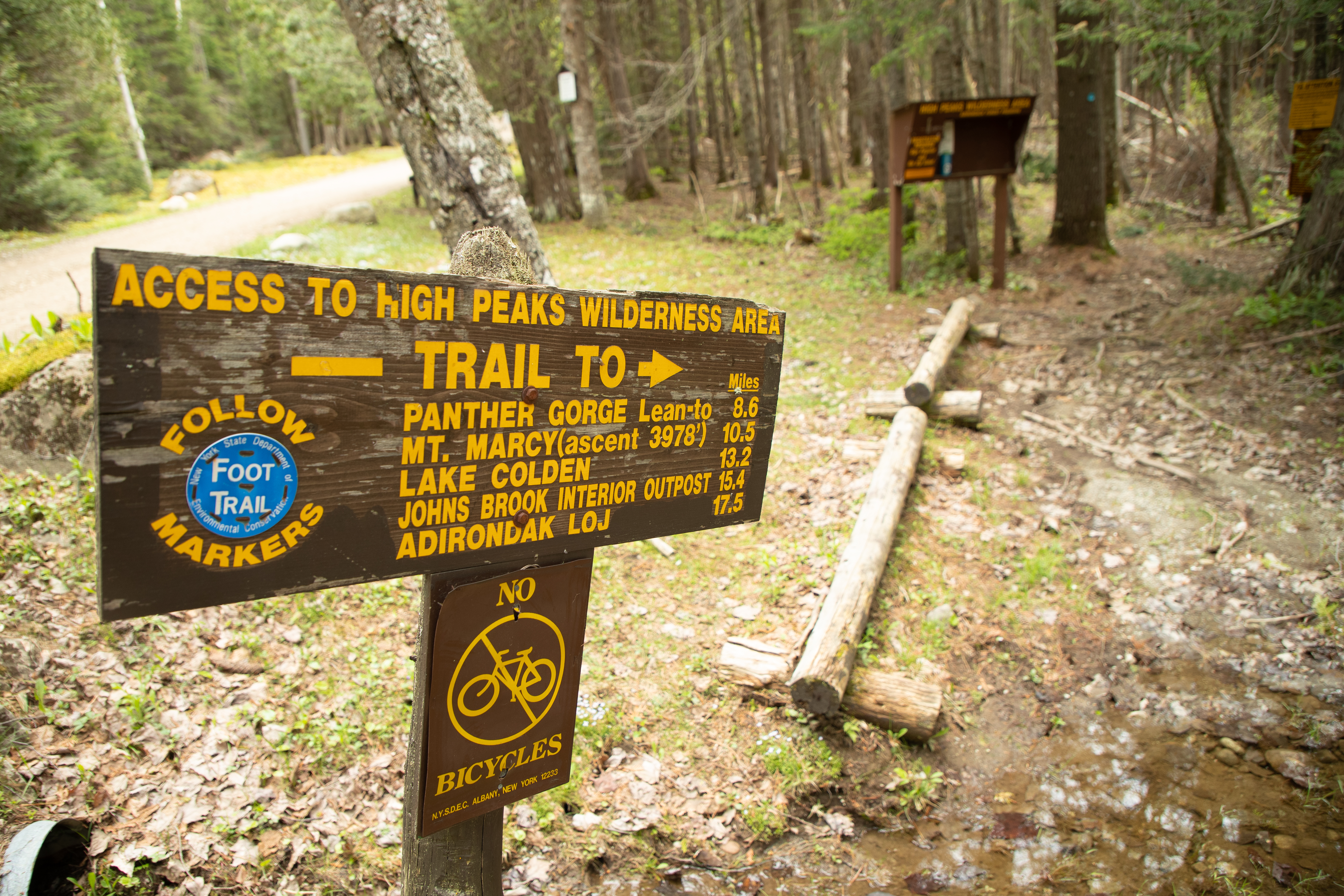
The Panther Gorge trail begins across the road from the parking area. From there, hikers can opt for the trail up two High Peaks, Blake and Colvin, or they can continue to the remote Panther Gorge. There are a couple of camping areas in the gorge, and that's good because you’ll need to rest after making the 700-foot elevation gain and descent to get there. Panther Gorge is beautiful, but the real attraction is the trio of peaks. Marcy towers above the head of the gorge, flanked by Haystack on one side and Skylight on the other, making an extremely difficult and rewarding loop possible. In fact, the elevation gain up Haystack from Panther Gorge makes it the steepest trail in the Adirondacks.
The Dix Range trail begins at the parking area, and it’s a beauty. A winding trail leads to an old carriage road that runs along the base of the range, and there are several places to camp along the way. A well-trodden herd path ascends McComb via a rubbly slide from which Elk Lake can be seen far below. From McComb, the path continues, linking South Dix, Grace Peak (formerly East Dix), and Hough in one beautiful traverse. Hearty hikers can continue past Hough and on to Dix to complete the range, but it’s quite a haul.
Boreas Ponds
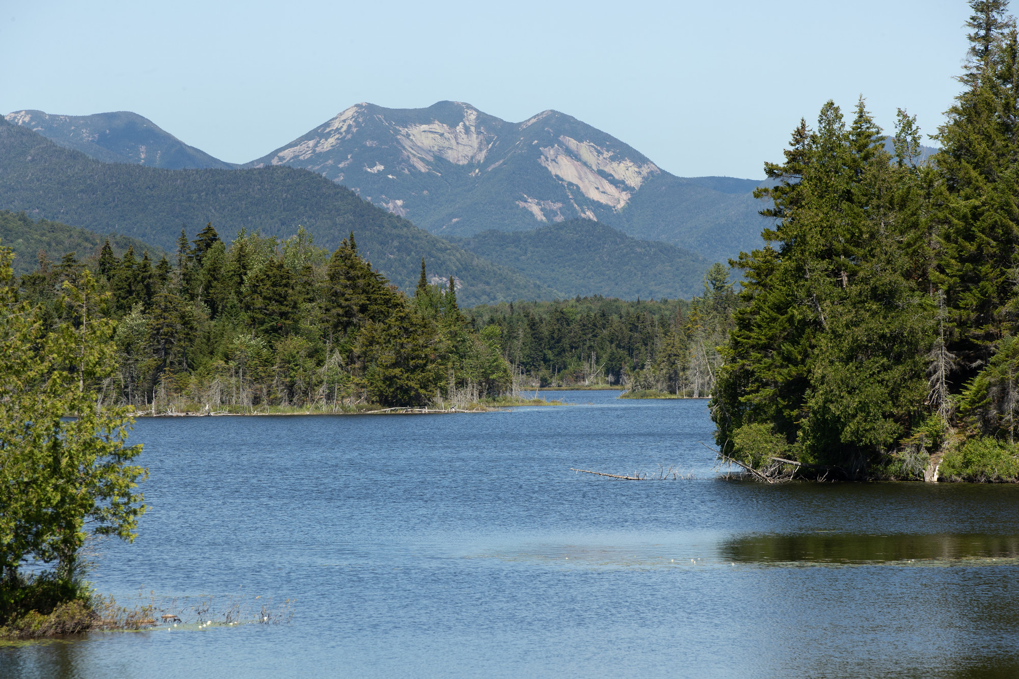
OK, so this trail doesn’t quite take you into the High Peaks, but it does end with one of the best views of the Great Range from the shore of the 320-acre Boreas Ponds. This brand new route follows Gulf Brook Road for 6.7 miles to the shore of of the pond. About half of the route will be accessible by motor vehicle, with four small parking areas to choose from. The rest of the way can only be traversed by foot, horse, or bike.
Getting there
All of the above parking areas are located off of Route 28 as it travels between Exit 29 on I-87 and the town of Newcomb.
- Elk Lake: From Exit 29, take Route 28 west for about 7 miles and turn right on Elk Lake Road. Follow that to the parking area, on the right.
- Boreas Ponds: From Exit 29, take Route 28 west for about 7.5 miles and look for the large brown Gulf Brook Road sign on the right.
- Upper Works: From Exit 29, take Route 28 west for about 17.5 miles and turn right on Tahawus Road. Bear left on Upper Works Road after about 6.5 miles and follow that to the end.
After hitting the High Peaks, head into Newcomb, Minerva, North Hudson, or Schroon Lake for food and drinks to help you refuel after a great day of hiking!
