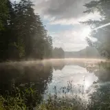
First it was private, then it was purchased by The Nature Conservancy, and now it’s owned by New York state. That’s the history, in a compressed fashion, of the Essex Chain Lakes.
About 8 years back, while the land was still in the hands of TNC, I was invited to take a tour of the lakes themselves. Of course I made every possible effort to go, but this time the destination was a bit different and that would bring me and a buddy, Brandon, back to Cedar Mountain. It's one of those peaks I've wanted to climb for quite some time, I think mainly due to its name and my curiosity as to whether or not it is in fact a mountain covered in cedars.
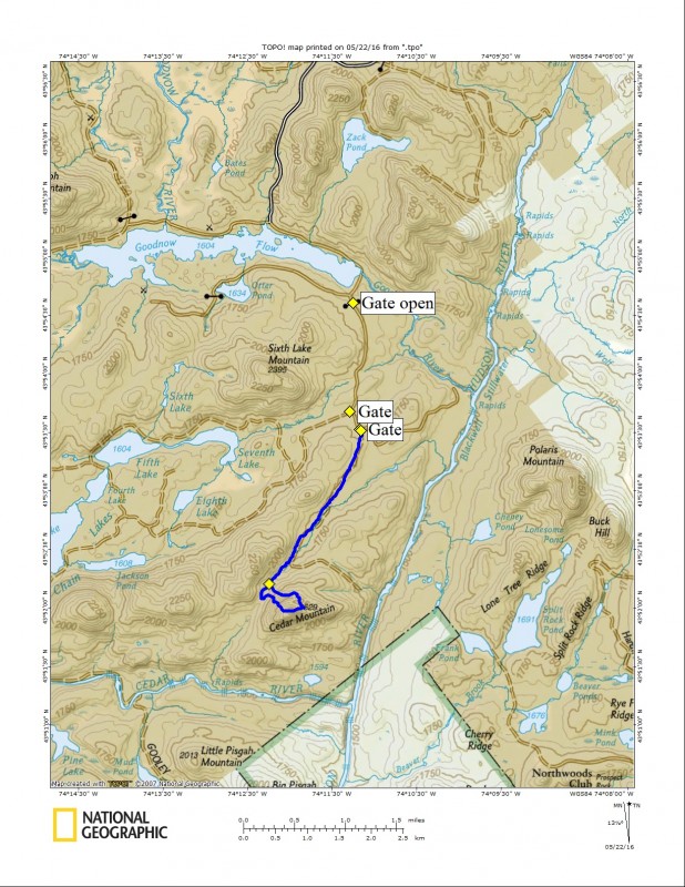
The access roads back in the Chain Lakes Region are closed for vehicles in the winter. That delayed my visit until just last week, when the “roads closed” sign was finally taken down. The dirt roads located south of Goodnow Flow are rough. If your car has any loose parts they would surely be rattled free along the way, especially if you think a higher rate of speed is a good idea. The roads back in there are also like a maze, and none of them have signs marking the way to a specific destination. We passed by two that were gated, and one that was blocked with boulders, and continued to drive up the ungated option. Something in my mind just didn’t feel right, and the rudimentary road map I was using was not much assistance.
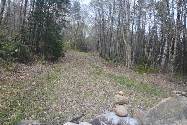
We decided to use GPS to navigate the roads, but both of ours seemed to spin nearly out of control. It was odd. First it put Cedar in front of us, then it put it behind us, then it eventually showed us going in the wrong direction. We needed to walk along one of the gated roads, so we turned around. About 200 feet back down the road the GPS said it was behind us again, so we turned around. Then, as if in some sort of twisted, real life “Groundhog Day,” the GPS pointed us back once again.
Eventually we got a lock on the roads, turned around for a third time, and came to the conclusion that we needed to walk the last gated road we came to. Once we broke free of the road the GPS started to work like normal and we could understand where we were. Unfortunately, this road was not yet open to traffic, and rightly so — the sand was still a bit soft. That would be OK, as the hike would now be more than a 1-mile wander, but a 4-mile round-trip stroll.
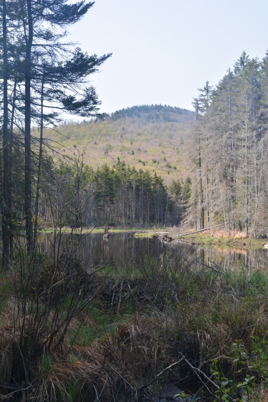
Oh spring, where have you been? It felt so good to not hike in layers, but now with rolled up sleeves. But the black flies we could still do without. They were not too bad along the road, even as we passed by several obvious wet areas, but we knew the second band of reinforcements would be coming soon in the form of mosquitos, and then the heavy cavalry, the deer flies, but that would be later in June. Honestly, they're not too bad, as long as you're prepared. Plenty of local shops sell locally made bug repellants, so be sure to pick some up before venturing into the woods.
Many areas along the road were set up as camping locations, and even a couple of parking areas were marked, but they didn’t appear to be used yet. Perhaps the state was still doing up the finishing touches prior to a launch.
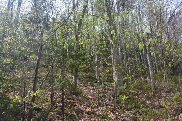
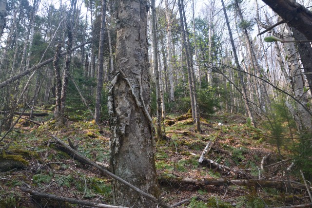
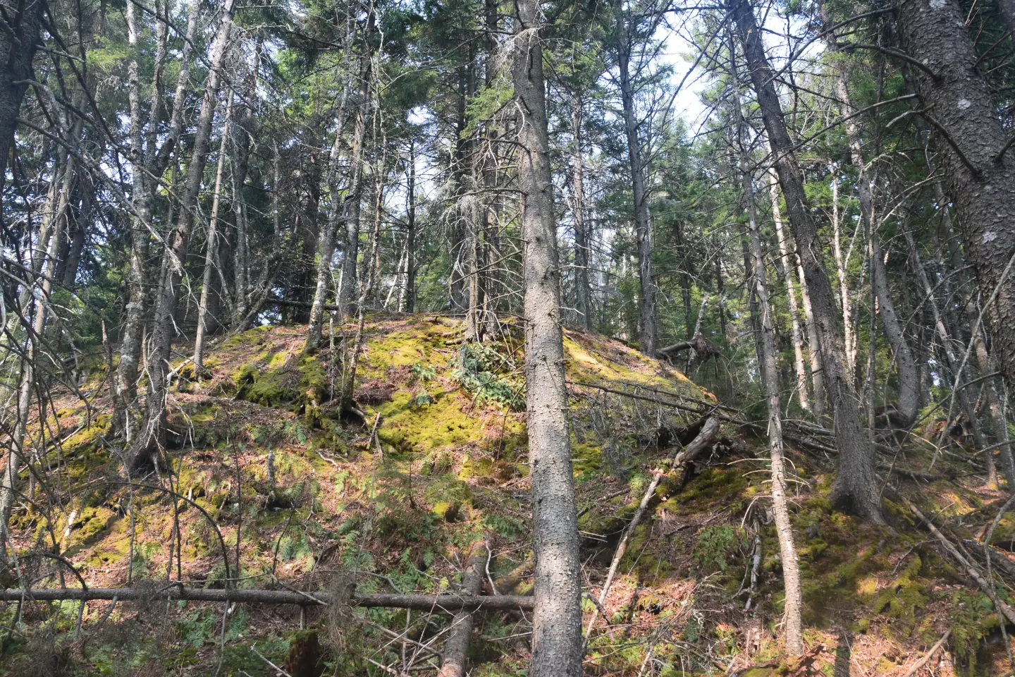
Eventually the road started to climb along the shoulder of Cedar Mountain. Soon it was just circumnavigating the peak, gaining us nothing, so we headed into the woods and started along the steep northwestern slopes. The forest was open for the majority of the trek but the ground, especially where it was rock, was slippery, slowing the pace just a bit.
As we neared the summit we started to encounter more red spruce scratching at our bare skin, but it didn’t last long as the trees thinned out near the summit ridge. The last push was very steep as we were delivered atop a wooded, defined summit. There were OK views through the trees but that wouldn’t get us down. We wandered around the summit ridge and found a few decent views through the trees of the High Peaks and even as far as Blue Mountain off of one side. The tower on Vanderwhacker and Goodnow mountains were rising high, giving us a trifecta of fire towers around us.
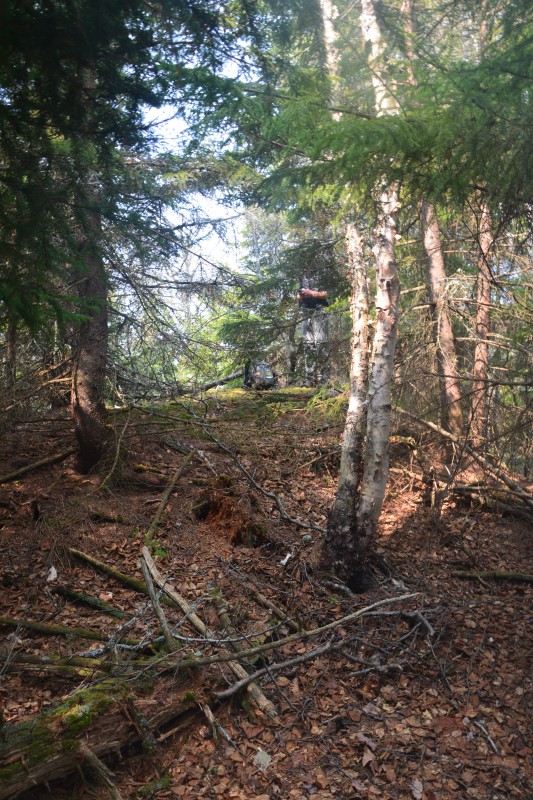
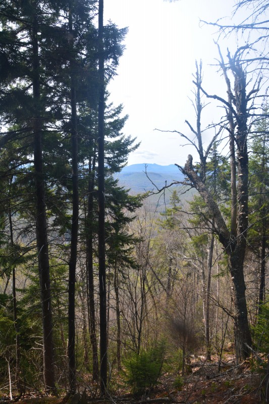
We now descended from the cedar fortress — oh, did I mention, there wasn’t one cedar tree on this mountain? Maybe Cedar is a surname, or maybe all of the cedars were harvested since the naming of the mountain. I guess a bit of research would be necessary to find the answer, research for I have yet to dive into, research that may not lead to any definitive answers.
The exit from our wanderlust got us back to the car in prime fashion, and we could now open the car windows to feel a cool breeze on this hot day and blow away the black flies coating what hair I have left.
If hiking Cedar Mountain doesn't quench your thirst for adventure, there are plenty of activities in the Schroon Lake Region that will! Go whitewater rafting, try rock climbing, explore the roads and woods by bike, or take to the waterways by canoe or kayak.
