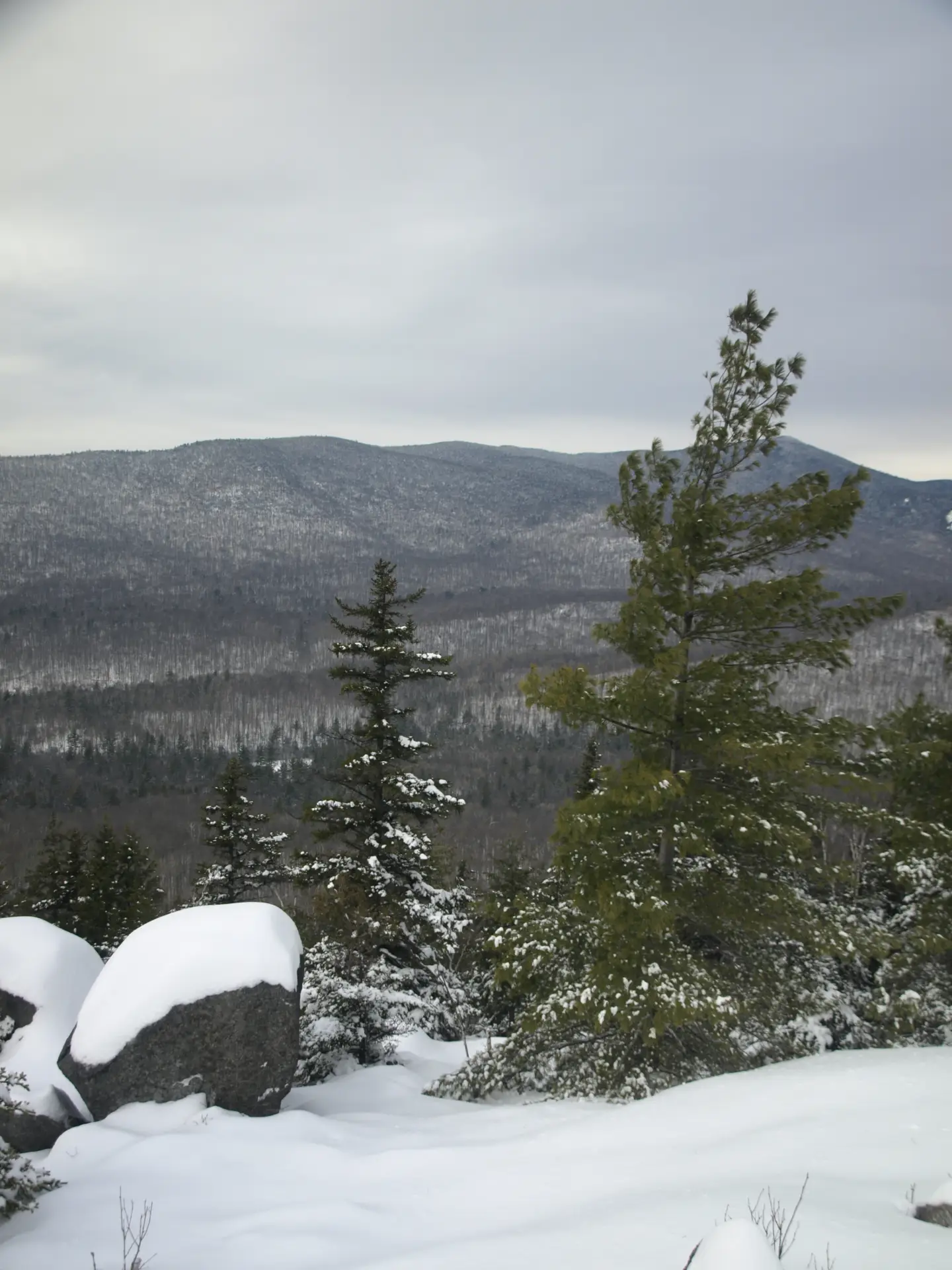
So, since the extra day landed on a Monday this year, doesn’t that mean you can take the day off? I think it should - fresh air is a great way to improve your mental health! Now the important question: “do I need snowshoes?” Boy, that’s a tough question to answer and unfortunately I have to say, most likely, MAYBE. Does that help? It’s getting to that season where you should have them along, some sort of traction might well be needed. I tend to carry my snowshoes on my pack for a while just in case the snow is a bit deeper up high, and then switch out as needed. Sometimes the snow isn’t all that deep but it’s a mess to walk on. Now, of course, there is the rumor a snowstorm coming and that changing things to a solid YES, you will need them.
The following recommendations for your February 2016 extra day/vacation/sick day make great choices. So when you do take that leap you should head over to Schroon Lake to check out these select seven hiking destinations.
Treadway Mountain
Distance Roundtrip/Loop
7.8 miles
Estimated Time Roundtrip/Loop
4 to 5 hours
Brief Overview
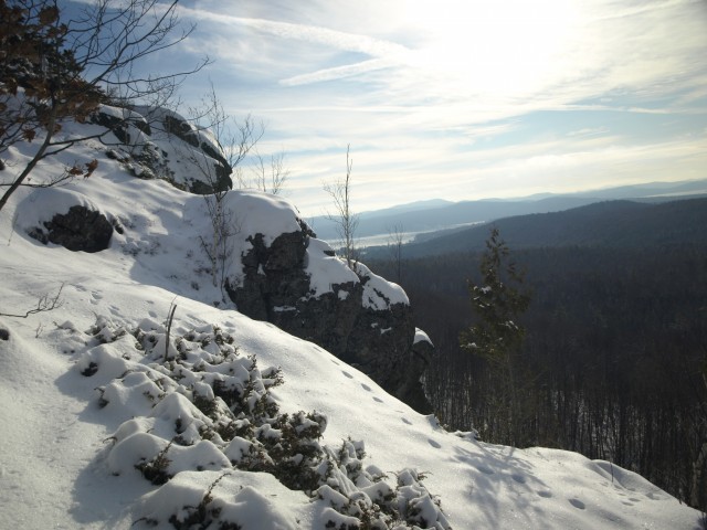
From the Putnam Pond Trailhead start a moderate and easy winter stroll around the pond. There are a few intersections along this route to the mountain so be sure to take notice of the trail signage. The final climb to the summit is moderate with only a couple of spots that would resemble steep, but it can be very icy. The summit and the approaching ridge are loaded with rock outcroppings and views, take them all in.
Other Notable Features
Be sure to explore all around for different views as the area seems to open up around every corner. This is perfect for snowshoes or not, but there may be a bit more snow up high. Traction of some sort is a must.
How to Get There
From Schroon Lake follow Route 74 toward Ticonderoga. Take a right onto Putts Pond Road and follow to the end at the state campground. You may or may not need to park outside the campground entrance, it all dependson if it is plowed out adequately or not. Either way just walk straight up the hill and the trailhead parking is on the left, and the trail is at the far end.
Pharaoh Mountain
Distance Roundtrip/Loop
9.8 miles
Estimated Time Roundtrip/Loop
6 to 7 hours
Brief Overview
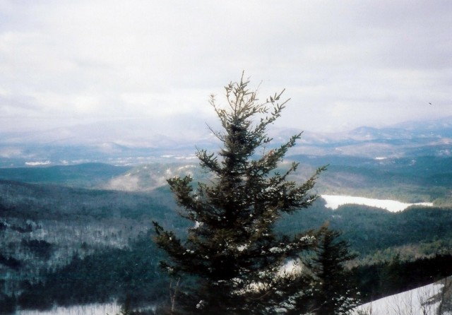
This hike might be a bit long for some family members. From the parking area you will hike an access road to Crane Pond, which is easy with minimal change in elevation. This is also a nice place to take a break. From there you will hike on a moderate foot trail past Glidden Marsh with tremendous scenic value.
The ending climb to the summit is a bit more demanding, and in some areas could be considered quite steep and surely icy. Some visitors consider this hike moderate, others strenuous, I would say it’s someplace in the middle. The views are from the open summit and former home of a fire tower.
Other Notable Features
Be aware this peak can be very windy; bring something to block the gusts and enjoy the top. Snowshoes should be carried.
How to Get There
In Schroon Lake follow Alder Brook Road to Crane Pond Road which will be on your left. Follow Crane Pond Road to the large parking area. Don’t try to drive any further along Crane Pond Road — it is far too rough for most vehicles, and it is in a wilderness area.
Mount Defiance
Distance Roundtrip/Loop
2.2 miles
Estimated Time Roundtrip/Loop
1.5 to 2 hours

Brief Overview
You will start heading immediately up the road and on a steady grade you will come to the summit where old cannons and a pavilion are located. The view out over the lake and of Fort Ticonderoga is fantastic. The road is very wide with plenty of room for snowshoers and skiers.
Other Notable Features
This is a great historical peak with neat views out over the lake and into Vermont as well as of Fort Ticonderoga.
How to Get There
Follow Route 74 toward Ticonderoga. In Ticonderoga head south on Route 9N, and continue for 0.75 miles to Montcalm Street on the left. Follow Montcalm Street for 0.6 miles to Champlain Avenue, which will be on your right. Follow Champlain Avenue for a very short distance to The Portage on the left, and then take a left onto Defiance Street. Drive Defiance Street to the Toll Road which will be on the right.
Cook's Mountain
Distance Roundtrip/Loop
3.4 miles
Estimated Time Roundtrip/Loop
2 to 4 hours
Brief Overview
This peak is part of the Cooks Mountain Preserve owned by The Nature Conservancy and opened for recreation to the public. The trail begins rather easy but soon begins a steady climb up the east side of the mountain where views through the trees can be collected. While steeper terrain does exist for short periods along the trail is has been graded well and never seems to be very aggressive. A few lookouts will be along the partially open ridge. The end of the trail brings the best bang for the buck. This trail can be very icy in sections.
Other Notable Features
This is a great hike to do with Rogers Rock or Mount Defiance, perfect for the entire family.
How to Get There
Follow Route 74 toward Ticonderoga. In Ticonderoga at the intersection of Route 9N and Route 74 in Ticonderoga follow Route 9N south and then shortly a left onto Lord Howe Street. This will soon become CR 5 (Baldwin Road). Follow Baldwin Road for 1.8 miles to the trailhead on the right.
Roger's Rock
Distance Roundtrip/Loop
4.0 miles
Estimated Time Roundtrip/Loop
2 to 4 hours
Brief Overview
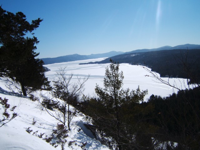
The campground entrance is closed in the winter, so you will need to snowshoe the campground roads to reach the trail which is located there. The trail is located to the back of the campground on the backside of a small loop. Once on the trail you will start to climb immediately on some rather steep terrain. In winter this trail is used much less, making the possibility of the trail needing to broken out that much more likely, so it would be a good idea to have snowshoes in the car to see what the conditions are like. You will quickly gain the ridge high above Lake George where you will have some outstanding views out over the lake and into Vermont. Be careful along the top and the ridge t is very steep and can be slippery.
Other Notable Features
This is a historical location where Captain Rogers evaded capture by the Native Americans, a neat piece of history and possibly a bit of lore.
How to Get There
Follow Route 74 toward Ticonderoga. In Ticonderoga at the intersection of Route 74 and 9N in Ticonderoga follow Route 9N south continue for 6.5 miles to the Rogers Rock State Campground on the left, park roadside in a safe location and away from any gates.
Severance Hill
Distance Roundtrip/Loop
2.4 miles
Estimated Time Roundtrip/Loop
2 to 4 hours
Brief Overview
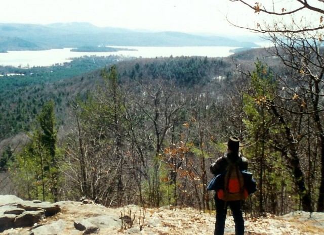
This family-friendly trail offers good views out over the region with limited effort, but be aware this is a very icy trail and traction is a must. From the trailhead you will soon come to an access culvert that leads hikers to the opposite side of the Northway. On the opposite side, the trail will remain level for about a quarter of a mile before starting to climb slightly and then steeply in areas. At 1.2 miles you come to the first view and a slight bit further to the second. The nice feature of this summit is it is slightly enclosed so winds are not typically an issue.
Other Notable Features
This has always been the go-to hike for families staying in the area, and for good reason — it’s a nice peak, and the hike is an interesting one as you hike beneath I-87 through a large tunnel.
How to Get There
From the intersection of Route 9 and Route 74 just off I-87, exit 28, follow Route 9 south toward Schroon Lake. Continue for just over a half-mile to the trailhead on the right.
Goodnow Mountain
Distance Roundtrip/Loop
3.8 miles
Estimated Time Roundtrip/Loop
3 to 5 hours
Brief Overview
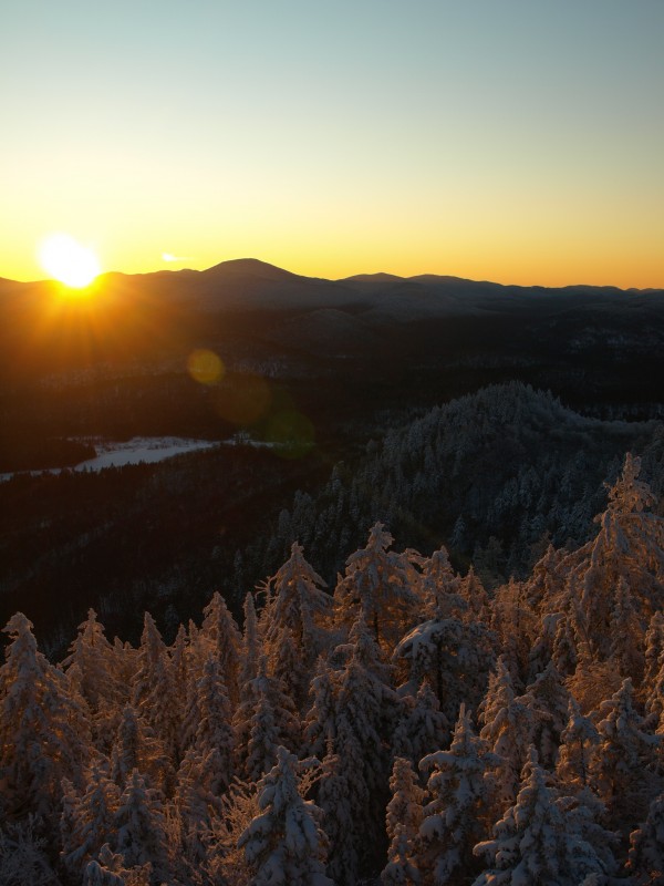
This ragged looking mountain is home to one of the few fire towers remaining in the Adirondack Park and thanks to a not-for-profit organization it’s in great condition too. From the trailhead you will start to climb a bit steeply to a flat area that you will follow for a little while before climbing easily once again. From here to the summit it's a steady climb, but not very steep, although it can be icy and slippery in spots. Upon the summit you will come to the fire tower and great views especially of the High Peaks area.
Other Notable Features
In route there is an old horse barn a great place for a photographic opportunity. There is also a fire tower on the summit adding additional views from the steps.
How to Get There
From exit 28 in Schroon Lake follow I-87 north for one exit to the North Hudson exit 29. From here follow Boreas Road west toward Newcomb. Continue to Route 28N and take a right and head toward Long Lake. Continue for right around 8 miles to the trailhead on the left.
Plan to stay in the Schroon Lake Region and choose one of these great hikes for your next extra day!
