Another adventure in the wild
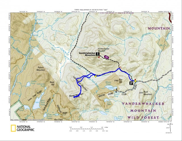
There has been a bit of a hiatus between me and the Vanderwhacker Wild Forest, so I felt it was about time I try to refamiliarize myself with the area and check out a couple of trails and a couple of peaks whose names just drew me in. I set my sights on Little Beaver and Beaver Mountains, located just south of Vanderwhacker Mountain. Seeing as how I am not a fan of hiking by myself due to my inability to hold a meaningful conversation with myself, I wanted to find someone interested for such an adventure. Luckily it was Sunday and most people have weekends available for recreation, so the question was whether I could get someone to take the hook. The answer is yes. Yes I did. Melissa is a new hiking compadre of mine and a newbie to bushwhacking, and by new I mean this is her second bushwhack. The interesting thing is her first bushwhack was also with me and I didn’t scare her off.
So the day of the hike came and I arrived early. It took me a half an hour less to get there than I had anticipated so I burned up a bit of time hiking along the Hewitt Eddy Trail, just down the road. I didn’t have time to make it all the way through but I did manage to take in a short scenic walk along the Boreas River. Our meet-up time had come and gone, and so had the next half hour. I got to thinking maybe I was supposed to meet her at the actual trailhead, not the corner of Moose Pond Road. With that thought I drove the nearly 3-miles of rough, rocky, puncture-your-oil-pan road back to the trailhead, but she wasn’t there. By the time I got back out it was 45-minutes past our meeting time, and now I was wondering if something happened or maybe she had to cancel, but with my cell phone comfortably at home on the counter it was to be a waiting game.
I decided to delay a bit longer and gave her to the top of the hour before disappointingly venturing out alone. Melissa showed up not long after, in a panic that I had gone without her. Apparently her cell phone GPS works about as good as mine. Well, it is what it is and I was happy to have her along, and I now had ammunition for some ribbing later on.
Off to the Beavers
For the second time that day I had to drive the rock mine of a road back to the trailhead, which can be done in a low-clearance vehicle, it just takes time and a bit of dodging. Now underway we started along the Vanderwhacker Mountain Trail with a couple of groups ahead of us. We immediately passed by three hunters standing along the trail waiting for an elusive black bear to just come up and raid their lunch pail. As busy a trail as this is, and on a holiday weekend, I couldn’t imagine too many bears would come wandering by.
What we were looking for was not a walking rug but an old snowmobile trail which, according to the map at the trailhead and other topo maps, is still a designated trail to follow. We would see. I remembered seeing the trail nearly five years ago, but only out of pure luck as it wasn’t too apparent back then.
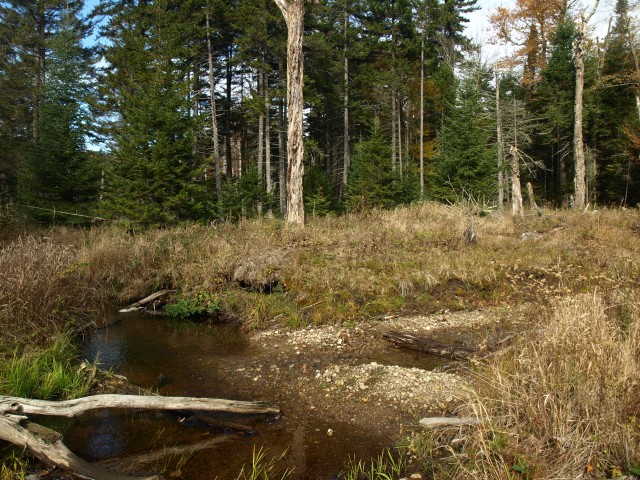
After about a mile of trail we were where the trail should have been according to the GPS and the map, but the trail was nowhere to be seen. I backtracked a bit to assure we didn’t walk right past it but I felt a tenth of a mile was far enough to scope out. We continued up the trail and in the woods ahead I could see a snowmobile trail disk on a tree. If it were not for that disk, I think we would have passed it right by; deadfall had covered the actual intersection and a dense layer of fallen leaves masked the ground around it.
Now finally on the trail we could walk a bit freer and just keep the trail under us. The trail is all but in good shape, in fact I would say it was abandoned many years ago and the lack of maintenance had left Mother Nature to do her job and recover the scar, and she was doing a mighty fine job. I felt as part of the food chain as I was getting swallowed up by seedlings and seeps. The old metal trail markers still remained on the trees, but they were becoming few and far between. After only a quarter of a mile or so, we lost the trail. It had been absorbed by forest and even after a bit of scrambling we couldn’t make out its course. I made the quick decision to just head for the mountain and maybe, just maybe, we would happen upon the trail again.
We walked freely through the open hardwood forest and I was a bit frustrated that we didn’t have the ease of the trail before us to help with the shorter days’ time restraints, but we would make due. We did pop back out on the trail and at this juncture it actually was in pretty decent condition overall; not passable by snowmobile but noticeable enough for foot travel. We remained on this snowmobile route as it passed through thick undergrowth, under and over deadfall, and through deep spring-fed mud pits. Eventually we were where we needed to be to start bushwhacking toward Little Beaver Mountain.
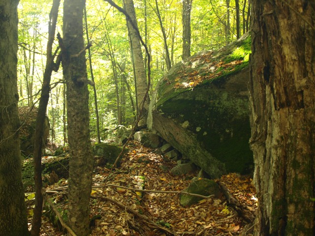
Little Beaver Mountain has two summits, but it is unclear which one is considered the true top. I presumed it was the higher one, but was that just a shoulder of Beaver and not Little Beaver? We decided to check them both out for customary sake. We dropped from the trail and quickly came to a crossing of Wolf Creek. Wolf Creek was not quite as big as I was led to believe but it was widened in areas by beaver activity. I mean, what are the chances? Crossing in that area was very easy. We started to climb slightly as we passed through a ring of thicker spruce growth, typical for a wetland. Soon we emerged into an open hardwood forest and then we came to the crossing of Moose Pond Brook. This outlet of Moose Pond was also easy to navigate, nothing a well-placed fallen tree couldn’t fix.
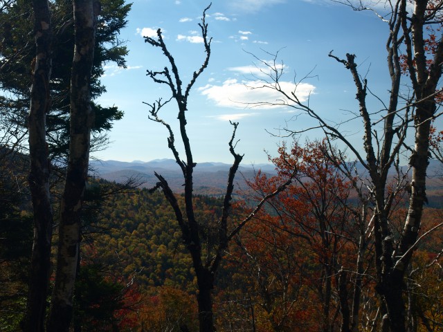
Unexpected views
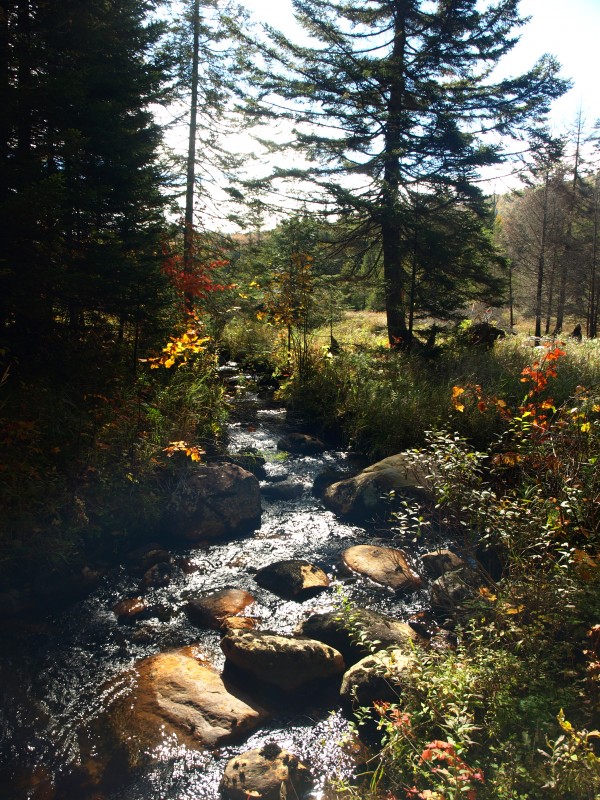
It was flat for a bit longer as we again went through a band of thicker spruce, but the climb was soon before us. The lower summit of Little Beaver Mountain was to our west and through several maneuvers to cut down on the steep terrain we made our way to the summit. The hardwood forests were very welcoming and even the crown of the summit was not a struggle to overcome. We had climbed up Little Beaver from the Newcomb side of the mountain and we ended up with great, colorful autumn views of the Indian Lake region and some of the smaller High Peaks. As we looked out over the Hudson Gorge area we could also see the taller summit of Little Beaver and Beaver mountains casting their shadows a bit further off on the horizon.
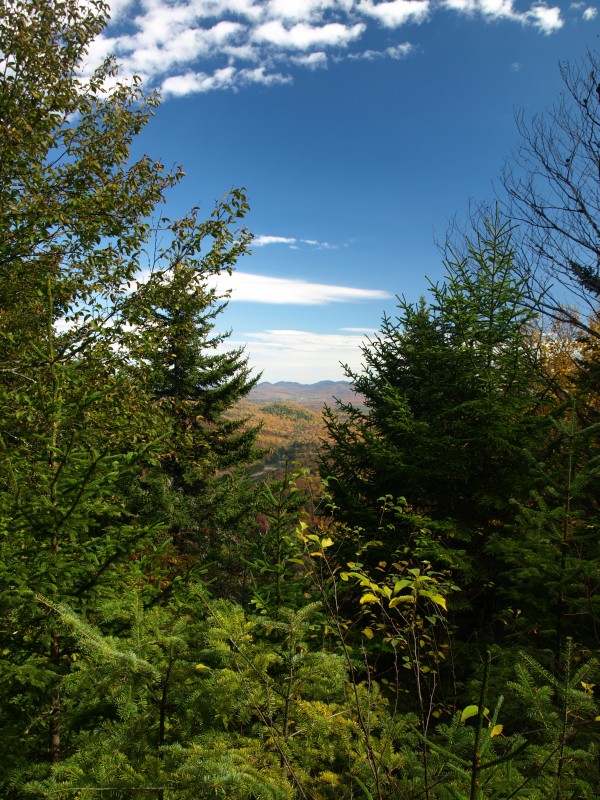
We made our way off of this summit under easy, albeit steep, conditions. We found ourselves in the high col standing atop what I call a bootleg trail. This trail laid out and maintained by a private party ran up and over the col, but not in the direction we needed to go, which was too bad. But wait — about 100 feet into the forest we were upon another bootleg trail that led uphill along the ridge. We welcomed it. While a bit tough to follow in spots it was a clear route over the summit, without which would require us to push through thick balsam growth. With seldom small views through the trees we moved along rather timelyand crested the high point of Little Beaver Mountain before starting our descent toward Beaver Mountain. The bootleg trail started to fall off the opposite side of the mountain away from our planned destination, so we exited it before we got sucked too far in the opposite direction. We located a welcoming part of the hardwood forest below to make that jump. We descended moderately to another high col, which seemed even shallower than the last. In our state of solitude we started our climb. We tediously picked our way up the mountain, step after step. A few tree slaps sparked some foul language from my vocabulary, under my breath, of course. We finally summited in a forest of open, old growth balsams. The floor covered in a deep green moss and a field of pickup sticks was in our path. We hoped for a view, but it wasn’t in the cards.
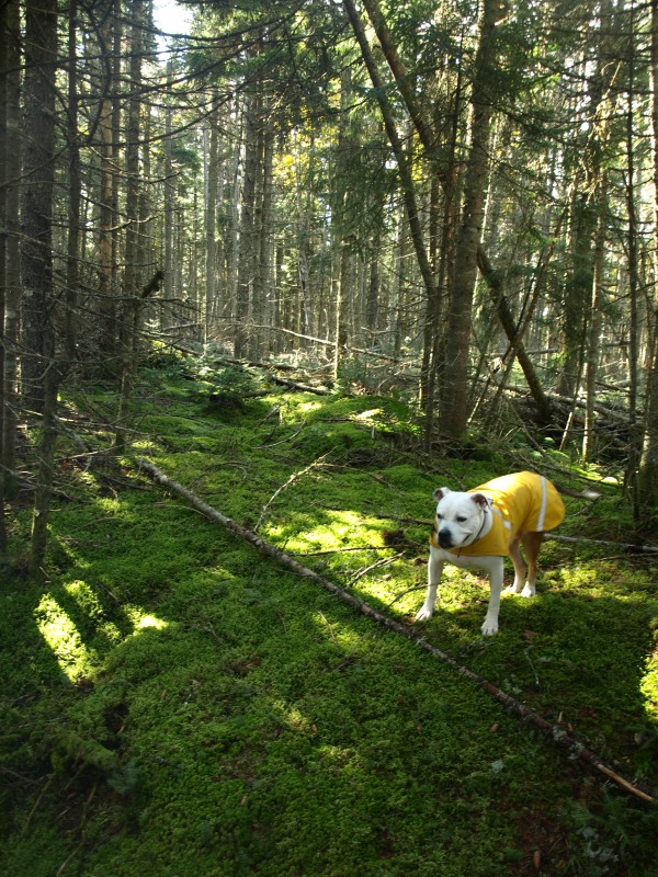
From here we decided it would be best if we made our way back though the boneyard of trees and back onto the bootleg trail. It was rather fast and easy to reach that point and that path aided quicker travels through the forest as the sunlight became diluted by darkness. Yes, it was getting late and shadows of the Beaver Mountains behind us made dusk even earlier in the day. We just wanted to at least be back on the snowmobile trail by dark, but being back at the car was even more preferable. Our descent was fast; we made it such, and quickly we were upon the first and then second brook crossing. A flagged hunters' trail on the way down helped with the ease of return. We crossed the hunters' path on the way up, but didn’t realize it would have aided our ascent.
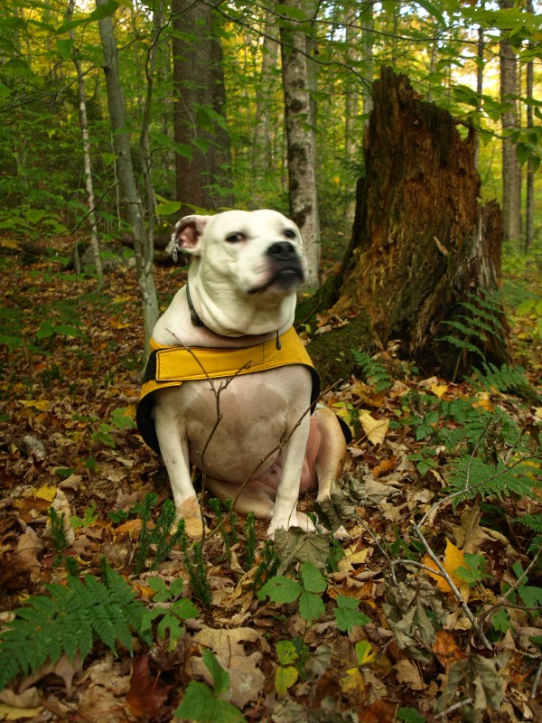
The crossing of Wolf Creek came next and then we were upon the snowmobile trail, in plenty of time to finish the hike before dark. We only hoped we could keep the snowmobile trail under us all the way. We nearly lost it again in the same location where we lost it that morning, but luckily we realized where we were and we made the correct choices. Once back on the trail we made haste and returned to the car in plenty of time, even early enough to see the final minutes of the sunset on our ride out of town.
Exhausted, all I could think about on the way home was a hot drink.
