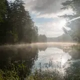
The Start of a Pharoah Mountain Wilderness Adventure
It has been quite some time since I wandered about in the Pharaoh Mountain Wilderness Area. My last trip brought me to a couple of remote peaks in some pretty deep snow, I might add. Late spring brings the warm smell of decaying pine needles and leaves from the autumn coat. Wildflowers start to emerge, waters start to warm up, tributaries are easier to cross, mud isn’t quite so deep, and colors finally start to open up your eyes to the warm weather settling in... ah, the joys of spring. I like to look at the positives of spring and not the negatives of the blackflies that so often comes with the territory. Sure they can be an annoyance, but it’s not that hard to overcome, and quite honestly, I believe the more you play in the spring the more you get used to them and you start to ignore them. The more you swat and pay attention to them, the worse they are.
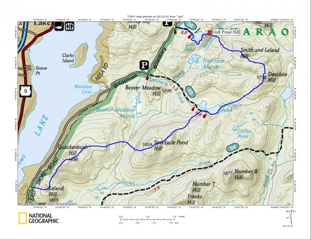
That’s enough on the insect population, now more on the mountains. We started out mid-morning with 6-peaks on our radar. Our group ganged up in Schroon Lake to spot a car for this interesting and long traverse. We stashed one car at the Gull Pond Trailhead and carpooled a bit further south to another access to the wilderness area. This southern access was west of Leland Hill along East Shore Road in Schroon Lake. It was a bit of a chore to find a good spot to get off the road; we did manage to get most of the car on the shoulder - good enough we all agreed.
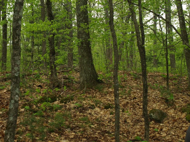
Leland Hill
Leland Hill at just over 1300’ would be the first small peak we would work on. The forest was open, but parked right on the shoulder of the hill. We started climbing immediately, unlike many of the Adirondack Mountains where you have a long flat approach. We started at under 1000’ in elevation and climbed that initial 350 feet in no time flat, my fast pace might have played a part in that. The summit wasn’t much to talk about, it was open hardwood with no views, but a splattering of star flowers made it pleasing to the eyes.
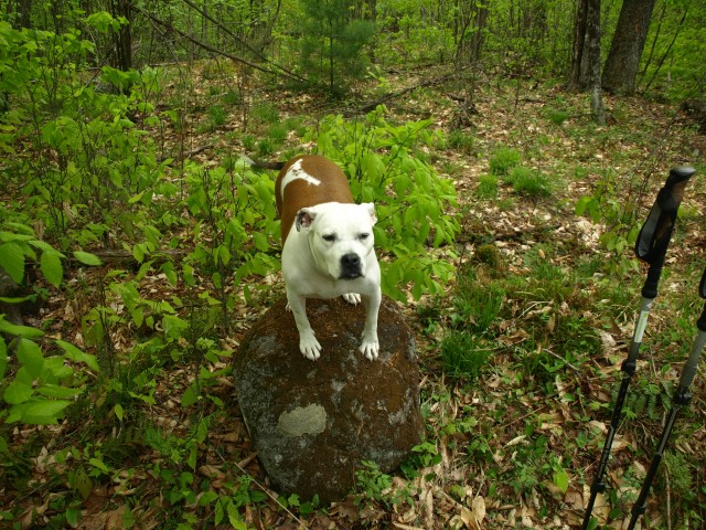
Quackenbush Hill
From here we headed just east of north to approach Quackenbush Hill, sitting at an elevation of 1486’. We didn’t really have to descend much but we did lose nearly 200 feet in the process. As we climbed we looked to our left and saw what looked to be an area where views might welcome us. The steep slopes on the west side of the mountain opened up some great views of the Vanderwhacker Mountain Wild Forest, Hoffman Notch Wilderness, and Schroon Lake. We poked around a bit more but without much success, so we moved on with high hopes and dreams of some great views from the summit, which didn’t come.
Spectacle Pond Hill
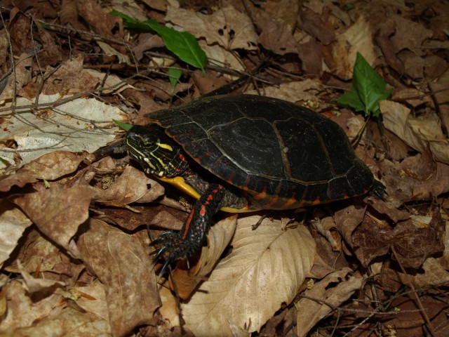
Now we were off to the summit of Spectacle Pond Hill, resting nearly 1.5 miles away and resting at over 1600 feet in elevation; not the tallest of the day, but getting there. Looking over my map in days prior, I didn’t have a whole lotta confidence that it would be a huge payoff. The descent was long, but the forest was wide open. We would continue losing elevation until we were again at less than 1000 feet; everything we gained from the road would be gone, all but about 50 feet of it anyways. In the valley we had a visitor, no not a local or another climber, but a turtle. It was a painted turtle I think, I’m not really up on my reptile identification skills. Abby was having a good time with it, not so sure what to make of its existence - it was the first one she had ever seen. Sniffing and walking in circles around it, only to be startled by a leaf she overturned, the turtle had won the stand-off. The over 600 foot climb might not seem like much too many of you but when it’s in just a half mile, it gets to be steep. Again we were skunked at the summit, and not even a peekaboo view from the shoulder was awarded for our efforts.
Spectacle Pond Trail
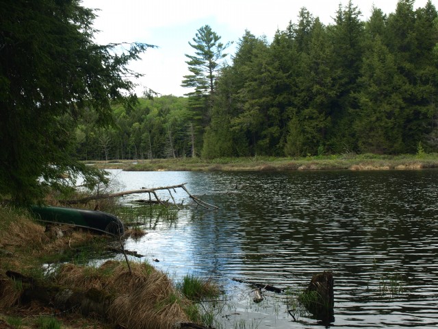
We now had a slight dilemma, should we descend to Spectacle Pond, Coffee Pond, or just go right in between them to reach Desolate Hill? We left that decision up to the terrain, I suppose you could say. We wanted to stay high above the ponds to avoid losing too much elevation in the course of the traverse. The terrain, as I mentioned, had other plans. We kept getting pushed left. Well, I kept getting pushed left that is... since I was leading I guess I can take responsibility. We ended up heading right at Spectacle Pond’s western shore.
Off to Desolate Hill
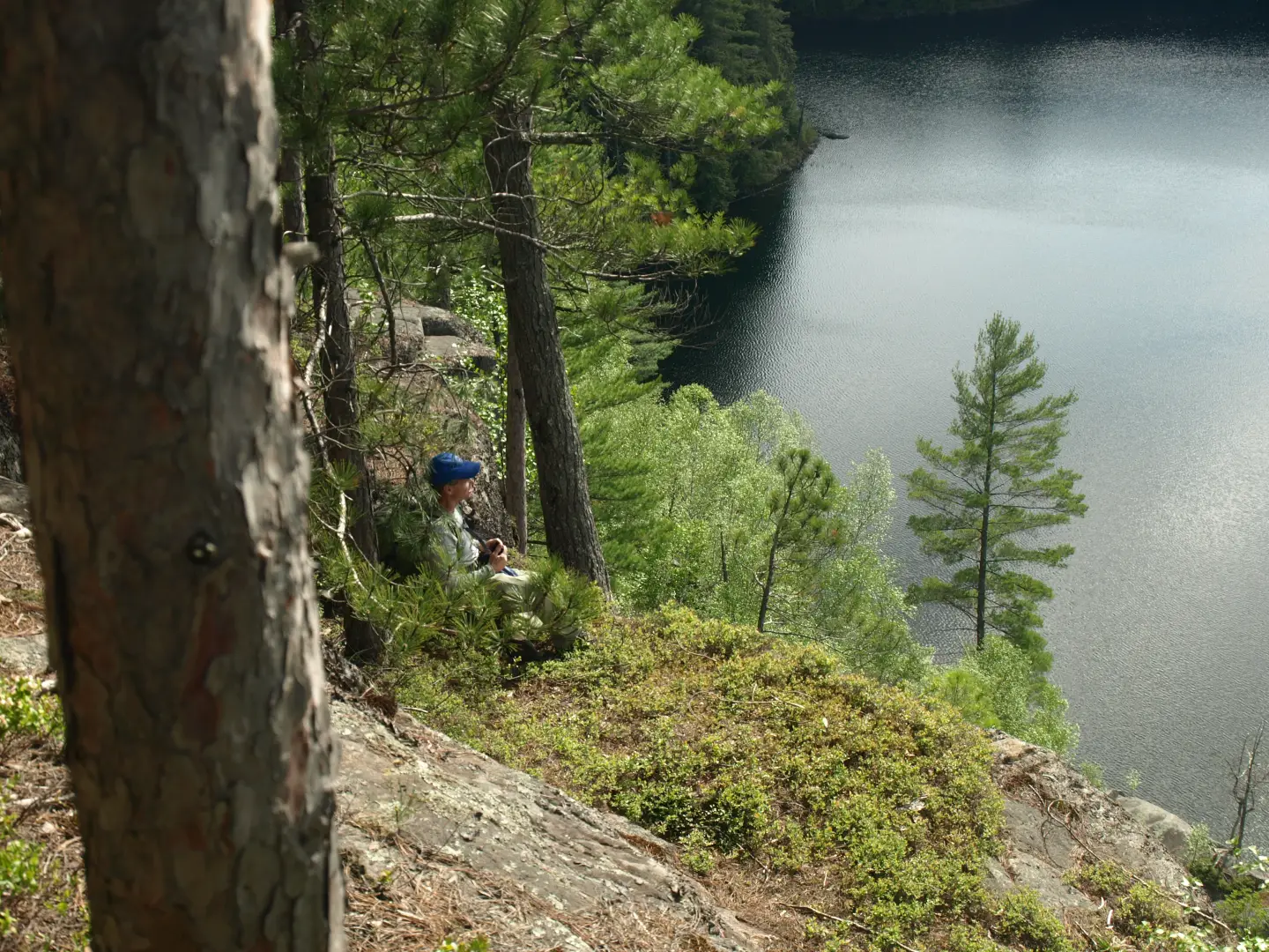
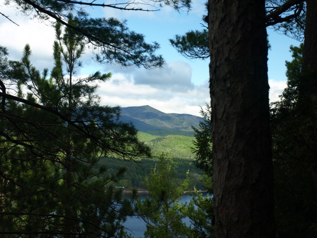
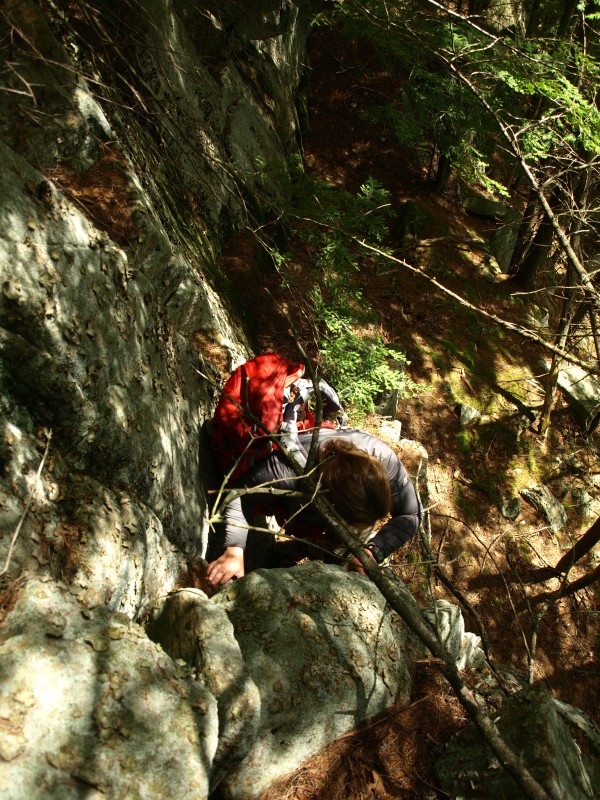
Spectacle Pond got its name from its shape as a pair of spectacles. We hit the trail and felt a sudden pleasure in being on a solid and stable surface. We knew it wouldn’t last long, we needed to hit the forest again to reach Desolate Hill. The trail was eaten up fast by our limber pace and as the trail ended we found ourselves in an open evergreen forest along the top of an attractive esker above the pond. The esker ended in a depression with a small drainage and what appeared to be a small beaver village up above. Desolate Hill was the one I felt would be the rewarding one, and with Pharaoh Mountain so close, it could be a killer payoff. We moved along through the open forest and as we started to climb we came upon some decent-sized cliffs. We went right for them. Scrambling very steeply at times, we had to boost up Abby, and Corenne even took off her pack to help her get up over the small ledge. We could have gone around them, but we love scrambling hand over fist. Atop this was the best view of the day, one for the books, one to be remembered - fantastic!!! The summit wasn’t much higher, but again wooded. We searched hard and heavy for something of a view - a decent glimpse of the cliffs of Pharaoh - but nothing really. The joys of spring have also brought us leaves on the trees, and this veil of green has created a barrier for views.
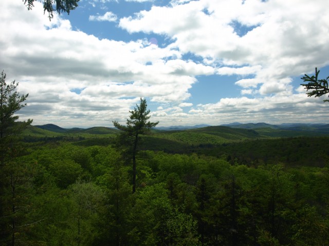
It was lunch time now. It had to be - my stomach alarm was going off. A healthy lunch and a PBR, to bring down the healthiness a bit, was in order. An extended break did however help the black flies find us for their dinner hour as well, and it was soon time to go.
Smith and Leland Hill
Smith and Leland Hill was next, number five for the day. This one was the highest of the mountains at around 1725 feet in elevation, still nothing crazy tall, but fun anyhow. We wouldn’t have to descend much on this one, but the climb back up was very, very steep. Additional cliffs dotted the side of the hill, but none that would give us any additional views. We summited only long enough for a couple of pictures.
Gull Pond Trail
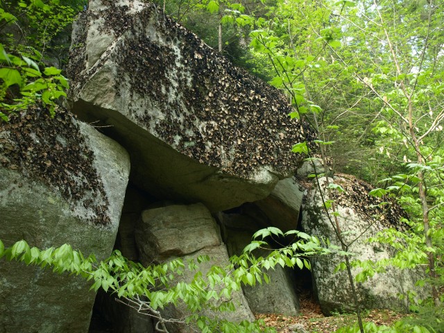
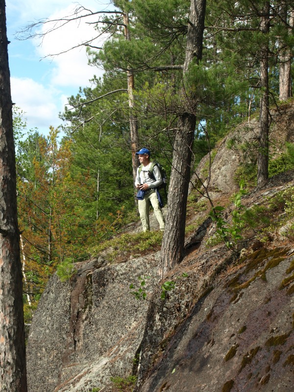
The next would be a surprise for Jim and Corenne. I was sure they didn’t want to do a sixth peak but I was persuading them that it would be worth the effort. A descent into a deep valley of hemlocks delivered us to Bottom Brook which was a wide swath of a brook in this deep valley. The final 200+ foot climb would be about all our legs could afford for the rest of the day, but we did it in great fashion. Through boulders and scattered rocks, we meandered through the small cliffs and occasional spruce, to the open views off Gull Pond Hill. The hill is not officially named as such, but we gave it that - it seemed to fit. The cliffs of Gull Pond Hill had taunted me for years, and every time I visited the pond I wanted to go there. Well, today I did. Out of curiosity I wondered if I could throw a stone into the pond - and strangely enough it reached.
We followed the herd path off the summit which leads around the pond to the west. The path was apparent most of the time, others not so much, but it was easy enough to keep the pond close to our right. Once on the trail and upon the peninsula of the pond, we had a secondary break in a shallow breeze, which awarded us a relaxing retreat from the bugs as well. The half mile trail back to the car clicked away very fast, and before we knew it, we saw the gleaming white of Jim’s truck through the trees, and our escape from the forest. The cool breeze of the open car window cleaned away the black flies we felt were nesting in our hair, and smiles lighted upon our faces with the realization of this successful six-pack traverse. We were already throwing around more ideas of a future adventure in the Pharaoh Mountain Wilderness.
