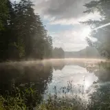
Buck Mountain
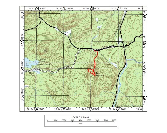
The Adirondacks are just loaded with "Buck Mountains" and "Buck Hills," and today’s short stroll was one that I had not yet visited. Saturday was one of those days where I had a few hours to get in some fun and adventure before I had to get back to the daily routine and get some work done in the garden. I set off in the borrowed puddle-jumper that I am using while my car is being repaired, and wasted no time in getting to the starting point. Buck Mountain is located off the access road to the Vanderwhacker Mountain Trailhead and in the Vanderwhacker Mountain Wild Forest.
Vanderwhack Mountain Wild Forest
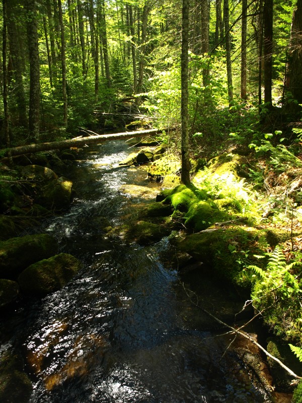
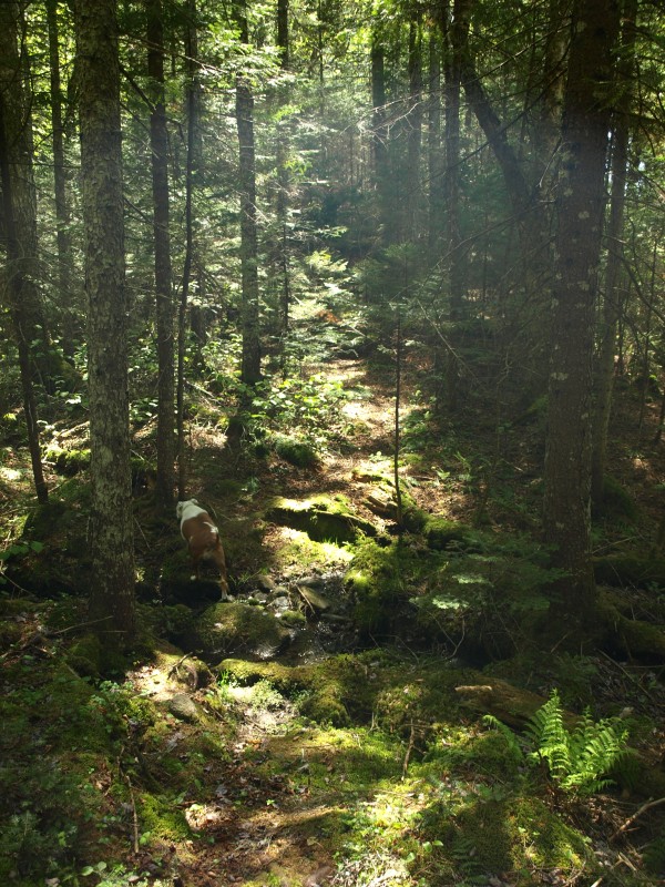
The access road, which I believe is also called Moose Pond Road, was in okay condition - at best. My low clearance vehicle had to maneuver around the higher exposed rocks with care to not rip off what’s left of the muffler. I located a starting point along the road, almost directly north of the mountain, where there just so happened to be a parking spot for one car. Located at the back of this parking location was an old trail, slightly messed up from deadfall, but easy to see and follow. “Excellent,” I thought. I figured I could use this, what I assumed was an old fisherman’s trail. It didn’t lead me in the right direction, but it did get me along the brook to a nice location where I could cross it. Several decent sized boulders, lined up perfectly across the babbling brook, aided my crossing immensely. The sun beaming down on the green brook moss made for a glorious early morning atmosphere.
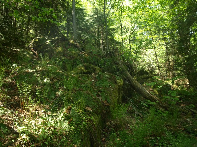
I was now in the wilds of the Adirondacks and was at the base of this particular Buck Mountain. A bit of scratchy balsams blocked my quick passage, but for only a couple hundred feet before the hardwood forest opened up the world in front of me. The forest floor was lined with Dutchman’s breeches, not yet flowered, and Canada lilies also waiting to do the same. It was like this mountain was still waiting for spring, and the wildflowers were still a bit behind. The forest remained very open and then came the steep slopes of the mountain, which I could see on the map and hoped would create some viewing opportunities. The scattering of duff-covered rocks gave me a landmine of deep holes and loose rocks, but the steep slopes never gave me more than a glimpse through the trees.
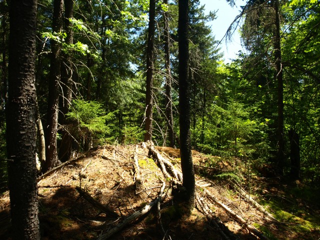
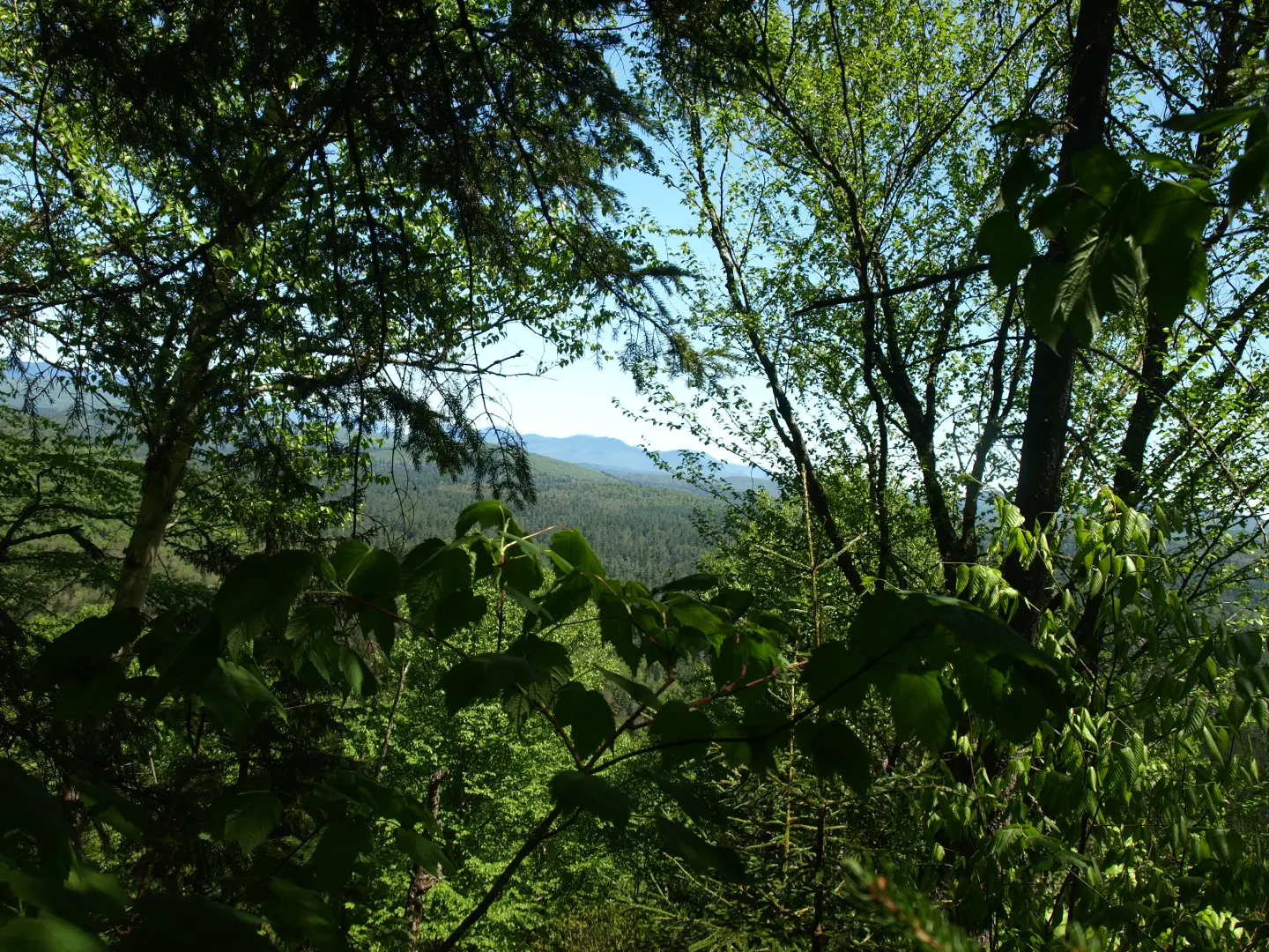
Some views of the High Peaks
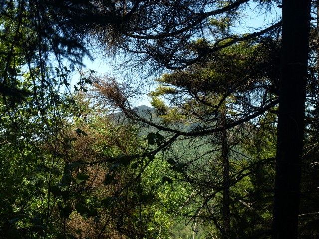
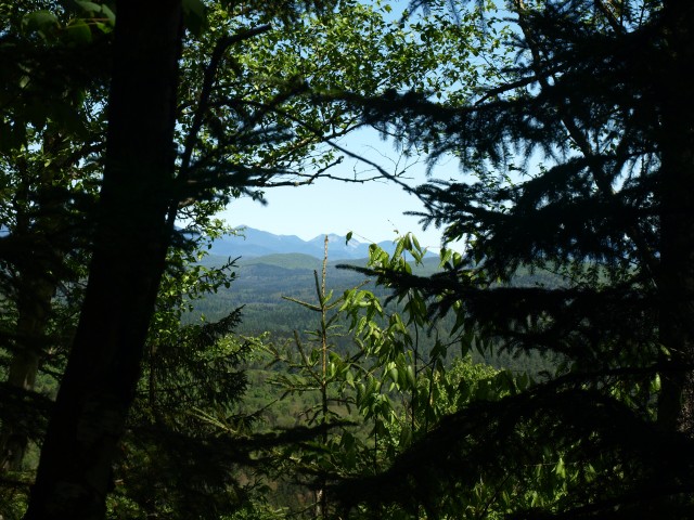
I could see a bit to my right that there might be possible viewing areas, but I decided that I would summit first. The top was what appeared to be a small cleared mound. “Do others climb up here?” I wondered. I wasn’t so convinced, but the summit was a bit odd. It was time to check out the steep slopes a bit more to the west. I worked my way down to them, but the slopes, while steep, still offered no views over the much taller trees. Peek-a-boo views existed through the leaves and as I made my way along the steeper slopes I got decent glimpses of Vanderwhacker Mountain and eventually the High Peaks. I was intrigued and convinced that I would get a view, so I stayed atop the cliffs and worked my way around. Up and down over the contours I eventually found myself back just below the summit, I had made a complete loop almost all the way around the summit cone. But, to no avail. Alas, I started my descent. Staying on the same course as my route up, the descent was flawless and I popped out right at the brook crossing I found on the way in.
It was short, and it was good - would Buck Mountain make the cut of best views in the region? Probably not, but it was a fun little adventure and you never know what’s up there unless you go find out. Maybe Buck Mountain is too short a hike for you, but there are many other trails in the Newcomb area that just might suit your needs. And heck, it’s only a stone’s throw from Schroon Lake and all they have to offer!
