An Adirondack Hat Trick
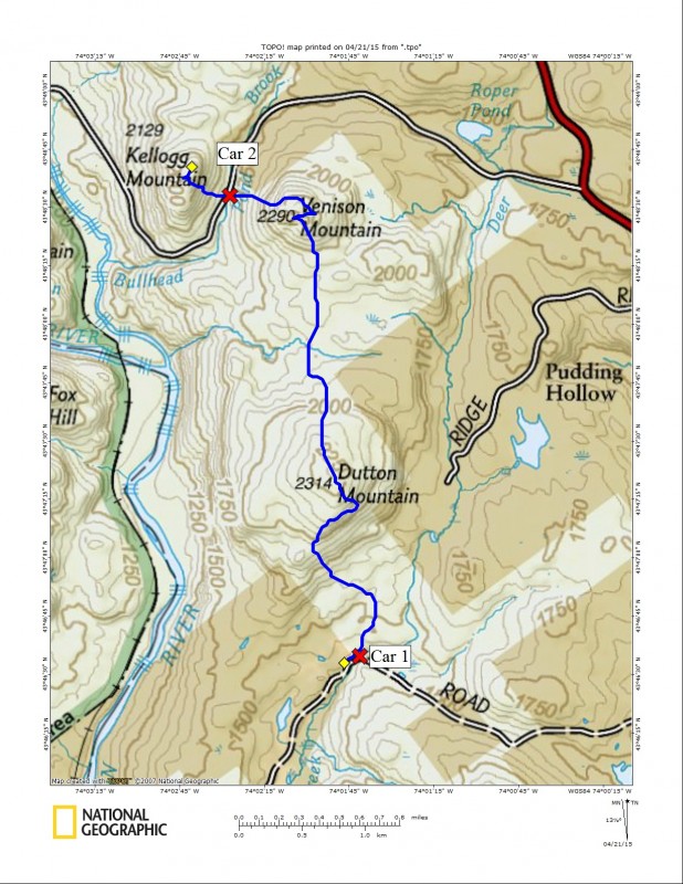
As you may have read in this recent blog, I took a spring trek up Moxham Mountain. And, because of that hike, I got the idea to see what else this region’s mountains have to offer. We had this plan to do a two-car traverse through an area none of us were familiar with, so we left nothing to chance and got a bit of an early start. For once I was not the one running late, using my internal alarm clock as an excuse, it was odd being on the other side of that conversation. Corenne and I were sitting on the corner of Northwoods Club Road as Jim went racing by in his ghost white S-10, we smiled wondering how long it would take him to realize what he'd done (it wasn’t toooo long before he pulled in behind us). We drove down a bit further to a very deep col between Venison and Kellogg Mountains to park Jim’s truck as best we could on the side of the road, trying to avoid a sinking feeling in the generating mud layers. We found a spot near the culvert for Bullhead Brook, which saved us having to cross it later in the day; it had become a river with all the snowmelt during the recent weeks. Then off we were to the other side of the range.
We parked our second car off 14th Road just south of Minerva, which happens to be the same road as Moxham Mountain. We drove past that trailhead and continued for a bit over a mile to a convenient spot across the swollen creek and on Forest Preserve Land. Much of this area is private property but there are a couple of parking spots that accessed us to state land. We found the western most access point which was perfect because this placed us on the friendly side of Deer Creek.
Dutton Mountain
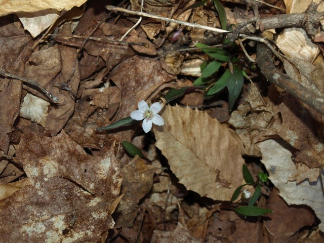
Now we would be off, and yes, we left our snowshoes in the car - I had no desire to wear or even carry them. Worst case scenario we wallow through what snow was left, and it couldn’t be much, the ground as far we could see was bare. Immediately the ground was soft under our feet, we loved it, even the slight amount of standing spring water was great to see for a change. After a short steep climb to get above the brook, we were on a very mellow hike through some very open forest. With Dutton Mountain just under a mile away, it quickly came into sight on the horizon. We could see from afar that it had ledges with possible viewing opportunities just below the true summit, we couldn’t wait to be there. Then yet another pleasant find, it was a spring beauty popping up through the decaying oak leaves; still closed from its overnight slumber, it would surely be open before day’s end, maybe we would see more after mid-day.
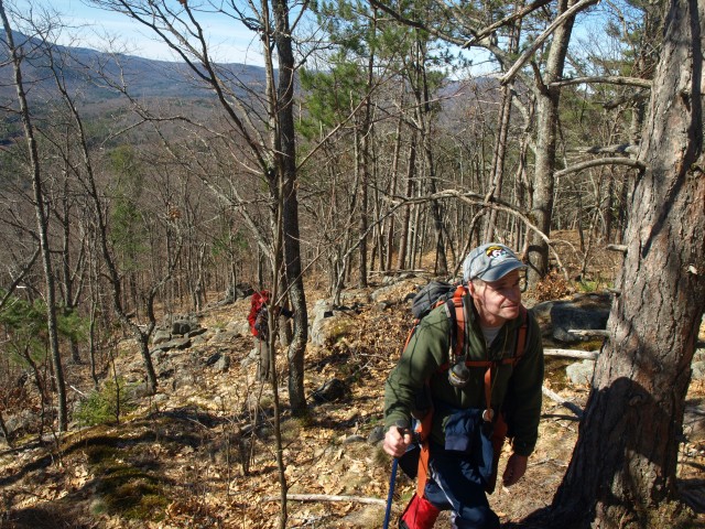
We climbed the steep slopes of Dutton with loose rocks jumbled under us. While many stayed put, others were sent astray by me toward Jim and Corenne. The rocky slopes opened up to a unique red pine forest, not seen as much in the Adirondacks as I would like. An open ridgeline offered up views toward Moxham in the foreground and in the distance the quiet snowy slopes of Gore Mountain; the fire tower glistened in the sunlight. We were yet a quarter-mile from the summit as we worked through an oddly mixed forest of spruce, red pine, white pine, and birches - a mixture of species not commonly seen together. The summit would offer us nothing for additional views and quite honestly it would have to be pretty darn good to trump where we just were.
Venison Mountain
We quickly dropped off the north side of Dutton in search of Venison - no it’s not hunting season, that’s the name of the peak. This would be the longest portion of this today's trip and at that, just 1.3 miles or so. Venison Mountain was nearly the exact same height as Dutton making the actual summit tough to see once we dropped lower in elevation. The descent was gradual and eventually we found ourselves in a very thick pole stand. Actually not even pole diameter trees, they were obviously older, just not spread out enough to grow properly. The ground was very dark sand, almost like it was mixed with ash from a fire, were we in a previous fire zone? As we exited from this unique forested area we came to several small pools of muck in a semi-liquid state, which we had to navigate around or become part of.
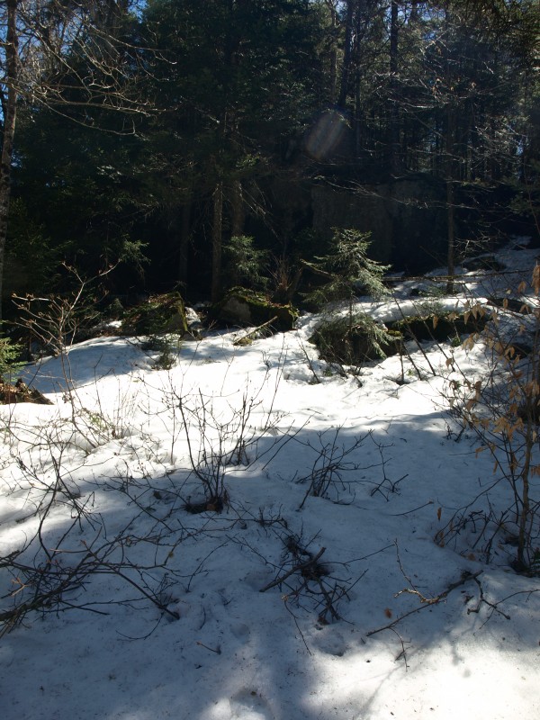
Finally we could ascend Venison; the approach was filled with undulating hills, just teasing us of a climb. Again we could see a rocky shelf just below the summit, this one just to the left of the actual top along with what looked to be an open ridge approach. As we climbed higher I chose a ridge I felt was the one we saw, although several other small shelves also looked welcoming. We pushed through the rubus that was growing in pretty thick fashion in the lightly treed areas, but I had jumped too soon, we needed the next semi-open ridgeline (but that was OK since we were aware of my error). Jim decided to go right and see what he could find and Corenne and I went left in the direction I felt was more promising. After a bit of side-hill hiking I spotted the ledge that had prompted us to be so diligent. I hooted and hollered to Jim, and eventually he heard my attempt to locate and we rendezvoused near the base.
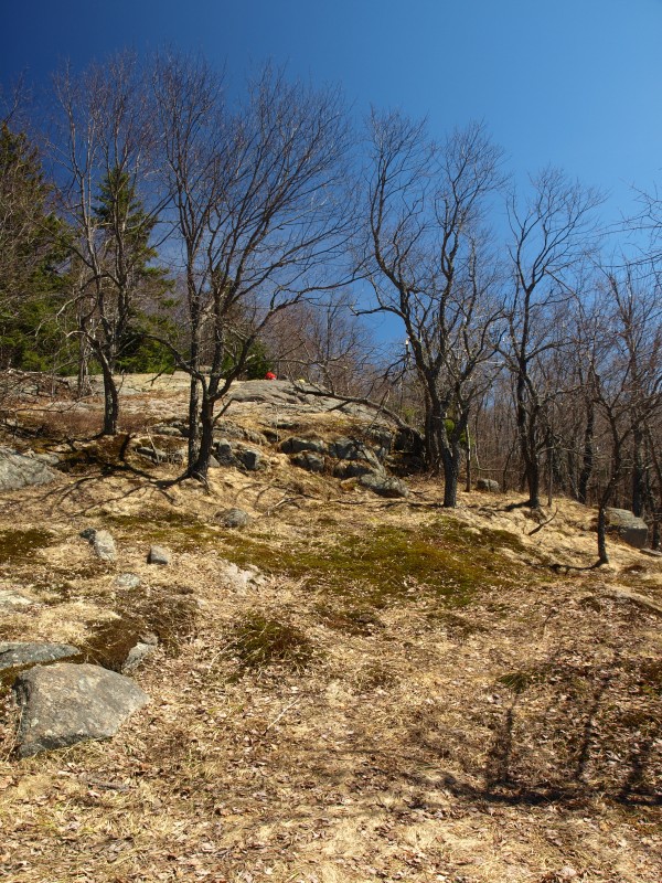
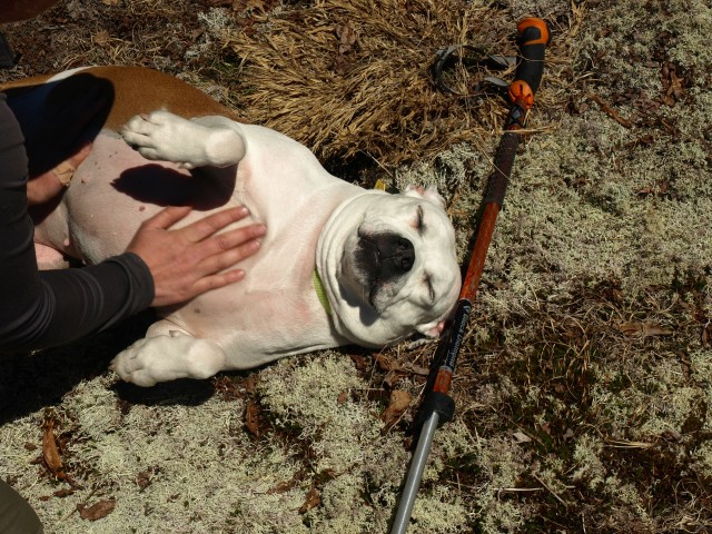
Atop the ledge we were in awe of the views before us, it felt as though we were in an apple orchard, but really we were in a mountain ash orchard with a grassy undertone. We spent well over a half-hour here relaxing and having a nice lunch. The true summit was only a few hundred feet away. At the summit we found a cairn marking the top as well as a small whitetail deer statue and some names scribbled on a piece of birch bark; quaint, yet not terribly out of place. A wooded summit on a rocky spine was where we were at and a crazy steep descent in front of us down to Northwoods Club Road. The terrain was steep, but not as bad as we had anticipated. We found a narrow drainage path which we jumped into with no delay, although eventually we had to leave it in order to stay on state land. We hit the road right at the culvert adjacent to where we parked, it was a near perfect descent.
Kellogg Mountain
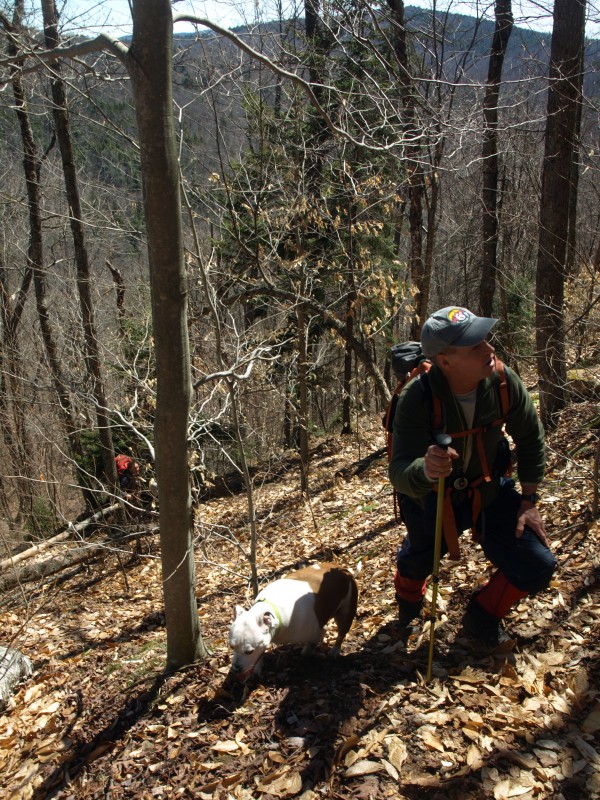
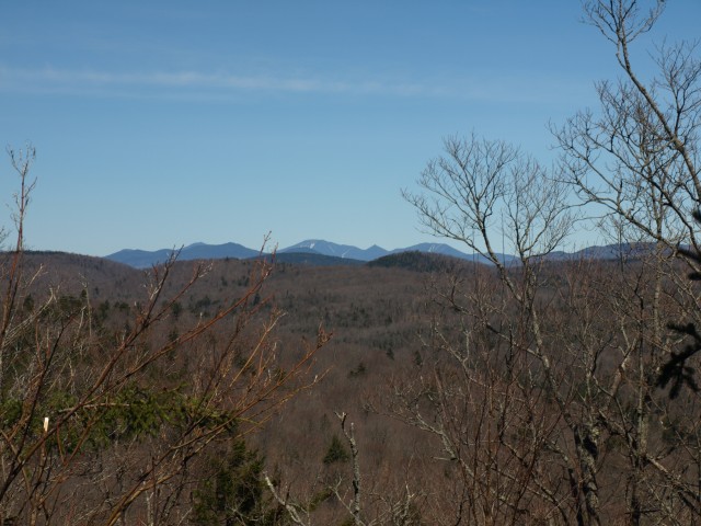
We were now looking up at Kellogg Mountain, which we figured to be a 500 foot climb in less than a quarter of a mile; it was going to be steep and relentless. We found a flagged route up the mountain, unsure of its purpose or destination, we followed it as it took a fall-line approach to the summit. As we neared the apex of the hillside we had to do a bit of hand-over-hand scrambling with small saplings as our support guides. We didn’t see too much promise here on this 2100 foot peak, but we were still hopeful. The true summit had slight views through the leafless trees, but as soon as they blossomed the views would be gone. Jim and I had to poke around, we wanted a view of the High Peaks that we knew were so near. And, then, there it was. We found a small open slope where we could see the entire upper Great Range from Marcy to Gothics and even the teeth of Sawteeth serrated the blue sky. We spotted the entire MacIntyre Range, and then in the other direction was the Dix Range. Sure they were off in the distance but we could find them all, and still quite snow-covered I might add.
It was now time to go; what a sobering note to a wonderful day; but what comes at the end of a day is the ideas that flow for the next trip into the wilderness. Who knows where I will be, but I assure you it will be some remote peak nestled away in the wonders of our beloved park.
Ready to plan your next hiking, biking, or fishing trip in the Schroon Lake Region? We've got great places to stay and friendly folks to guide your way. See you on the trail.
