Schroon Lake Adirondack Region Paddling
Early this spring I hiked the Short Swing Trail from Rte 74 to Tubmill March while there was still snow and ice under foot. At the beginning of the trail there is a little bridge that crosses the outlet of Eagle Lake and I resolved to come back and check out the paddling. Last week I was able to put together a trip and we had a great day.
NYS Department of Environmental Conservation maintains a small boat launch about a mile west of the hamlet of Eagle Lake. A small parking area accommodates about six vehicles. On the day we went there were two other cars--one with an empty kayak rack. Someone else was already on the water. We took quick advantage of the easy put-in and loaded up.
Eagle Lake
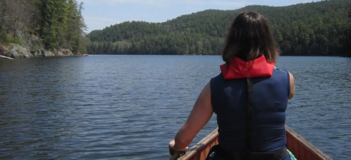
There is nothing like the first truly sunny day when the it's-probably-going-to-be-cold-later layers of clothing come off and there is nothing between bare arms and the warm sunshine. Hearing the paddle strokes in the cool water breathes new life into those of us who count down between enough snow to ski on and ice out on the lakes and ponds. We easily found a nice steady rhythm, heading east along the shoreline which was lit up by the beautiful flowers of the shadbush.
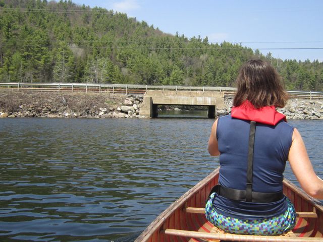
Eagle Lake has interesting rocks along the shoreline. We stopped several times to check out different formations before heading around the corner that leads to the main lake. From the boat launch there is a small, protected corner of the lake which is connected to the main lake via a culvert under a causeway on Rte 74. The water level was sufficient to allow us an easy float underneath without disturbing the swallows who continued to dart around nearby. I loved this kind of tunnel as a child and still feel a pinch of excitement going under a road in a boat.
Once under the causeway the main lake opens wide. Eagle Lake is about 2.5 miles long and about 40 feet at the deepest. On this day we could not see another boat. Later the kayaker turned up but for most of the trip we paddled on our own. The lake is stocked with brown trout and is known by some local guys as a good place to catch black bass. We hadn't brought fishing gear so continued toward two little islands at the east end of the lake.
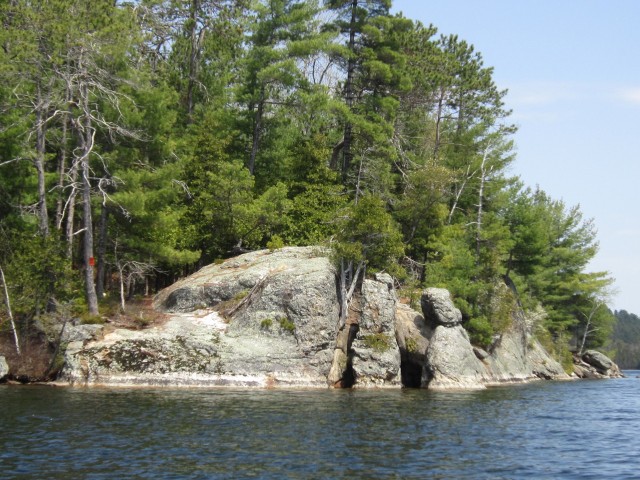
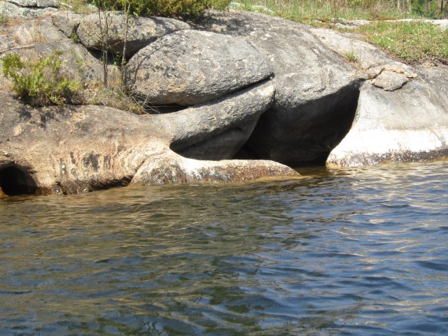
The leaves were not open on the trees yet and we had nice views of the surrounding hills. No boats on docks and no swim towels on porch railings--all was quietly waiting for the summer residents whose houses ring the lake. A gentle tail wind took us toward the first island, the bigger of the two we checked out. As we got close to look at the sculpted, rocky shore we found the island was posted so continued on, noticing a bright orange spot of color from a very early Columbine in a pocket in one of the ledges. Whoever owns the island has a perfect private place for camping and enjoying the water, and an interesting contraption that may be for jumping off the cliff when it's swung out over the water. There is also a great opening in the rock at the end of the island that looks like a mold of a whale's tale.
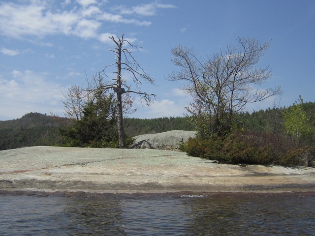
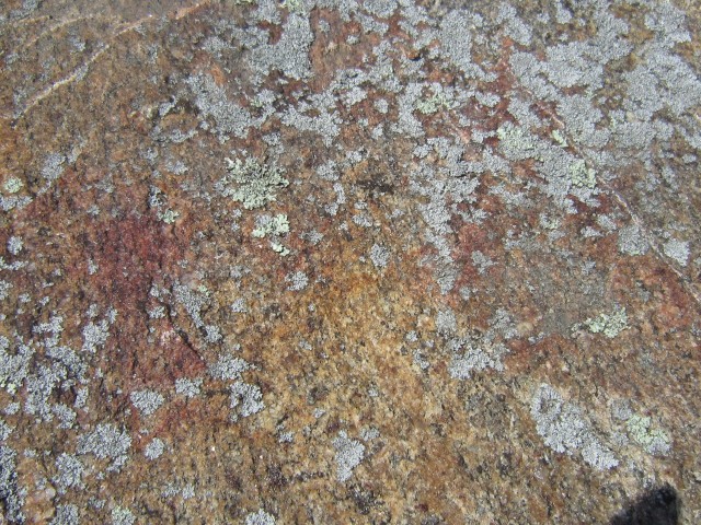
We headed for the small island and found a perfect place to take in some sun. The flat rock on the north side allowed us a gentle landing and we pulled up the canoe beneath a stunning shadbush at the peak of flowering. A sign cautions against damaging the rugged little trees that endure winter on the tiny island. I needed a geologist to identify the minerals that sparkled in the sunlight. With the lichen that grows on the rocks there is a pretty mosaic of color. After some chocolate, almonds and an orange we sat absorbing the sunlight until the breeze raised a few goose bumps and we got back to work, expecting a firmer paddle back. We were lucky --the wind had swung around, making the return easy and relaxing.
Great Day with another visit planned
If we'd had more time I would have headed for the end of the lake to check out the lean-to that's noted on an old map I have. A post on adkforum says, "yes there is a lean-to there. I believe it's accessible by boat only. The old topo maps show a trail, but it crosses private land and I don't think there is legal public access."
There is also a nifty half mile trail that leads from the west end of the lake to a tiny pond called Otter Pond. The combination short, protected paddle and quick hike would be perfect for families with young children or adventurers in light solo canoes. On this outing we never made it to the outlet of the lake to explore the bog plants I've heard are there but as the season gets warmer there will be more to see.
As we turned back toward Schroon Lake and the Northway we did take a minute to explore Pyramid Road. There is a beautiful beaver flow where red-winged black birds were vying with a few ducks for territory but I noted that the road and Pyramid Lake at the end of it are surrounded by private property--best left off the itinerary for travelers.
Eagle Lake is a destination that could be lengthened or shortened depending on the pace of your paddling and the time of year. It's nearness to the road makes it very quickly accessible when you're looking for convenience and beauty and don't mind some surrounding signs of civilization.
