The hike to Round Pond along the East Mill Flow trail in the Hammond Pond Wild Forest takes you through the Sharp Bridge State Campground, along the Schroon River, to a pretty backcountry pond.
Key takeaways
- Distance: 7.3 miles round trip
- Elevation gain: 770 feet
- Hike includes trail junctions
- Based on a hike on the East Mill Flow trail from Sharp Bridge Campground
Hiking to Round Pond
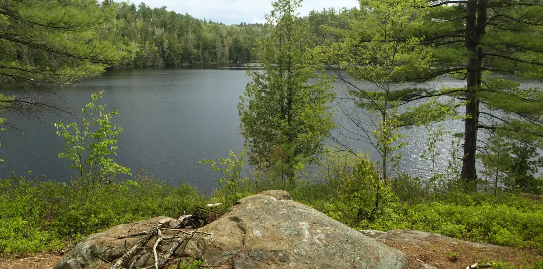
From the parking area, locate Schroon Brook to the right and head down to it. Follow it upstream to the main trail. The hike now leads you to a climb up the saddle between Clap and Greenbough Mountains, the majority of your elevation gain, then descend towards East Mill Flow. You then hike above East Mill Flow to an intersection at 3.3 miles. At this intersection you can head straight to the edge of the Round Pond and outstanding views from a rocky location.
Round Pond in the winter
This route can be accessed in the winter, but is seldom done during the season, so be prepared for all winter conditions (including breaking trail). This route, as well as the car-to-car option connecting to the Ensign Pond eastern trailhead, are great options for a cross-country ski for folks with prior backcountry experience.
Find more trails in the Adirondack Hub
Does Round Pond sound amazing, but a little more than you want to tackle right now? With the Adirondack Hub being at the center of so many trails, we’re sure to find the best hike for you!
How to get there
To get here, take Exit 29 off of Interstate 87, turn right and then turn left on Route 9 to follow it north. Continue to the Sharp Bridge State Campground, which will be on the right. There is parking near the entrance.