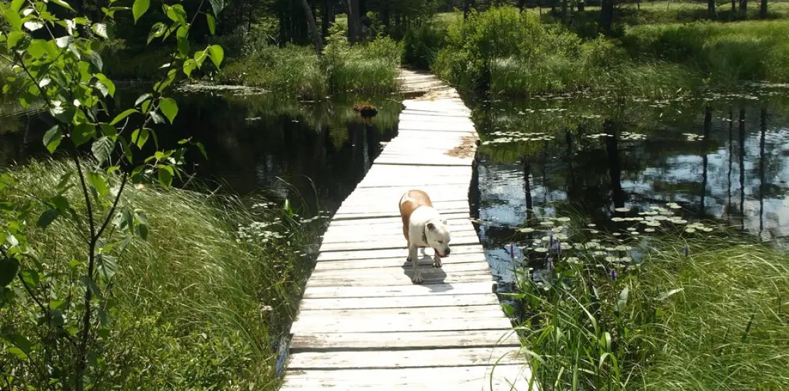
The loop around Rock and Heart pond brings you into some pretty ponds in the Pharaoh Lake Wilderness Area. From beautiful views to historical remains, this hike has it all.
Key takeaways
- Distance: 5.5 miles round trip
- Elevation gain: 625 feet
- Hike includes a road walk,
Hiking Rock and Heart Ponds
From the day-use area locate the trail on the right of the parking lot near a couple out-buildings. Follow this through the woods of tall pines to the campsite road and follow this to the left. Continue on the road for around a half mile to the trailhead on the left.
The trail goes through an attractive forest and after 0.6 miles comes to an intersection near Heart Pond, which will very soon be on your right. Take a left here and pass by Heart Pond, a small path leads to a wonderful overlook. After a decent descent you will come to North Pond which you will hike by and soon be at the shore of Rock Pond. This is a lollipop loop of sorts and for the sole purpose of this description follow right.
Heading in a counterclockwise direction you can enjoy a wonderful loop around the pond, but heading in either direction you won’t be disappointed. The portion around the north side will access you past an old mine shaft and the remnants of the mining village located there. But soon after this the hike gets very interesting. Scrambling up steep cliffs, walking atop steep drop-offs, and taking in outstanding vistas over the pond await you. Big Clear Pond Mountain and Peaked Mountain can be seen across the way. Once you drop down off the rocky shore you will come to rock peninsula that juts out deep into the pond, a perfect place to take an extended lunch break or if the temperatures agree, a nice dip could be in order. There is also a lean-to nearby. As you move along the shore just keep the pond to your left and follow the signs for the loop. Once around the pond proceed to follow your route back out to the campground or extend your day by hiking the Bear Pond Loop.
Rock and Heart Pond Loop in the winter
Depending on where plowing ends, this hike may be a lot longer. Be prepared to walk additional miles on the road. Experienced skiers can do this as a cross-country skiing trip. Otherwise, bring your snowshoes and be prepared for all winter conditions.
Find more trails in the Adirondack Hub
Does the Rock and Heart Pond Loop sound amazing, but a little more than you want to tackle right now? With the Adirondack Hub being at the center of so many trails, we’re sure to find the best hike for you!
How to get there
From the intersection of Route 9 and Route 74 in Schroon Lake follow Route 74 toward Ticonderoga. Continue for around 12-miles to Putts Pond Road on your right. Follow Putts Pond Road to the end to the Putnam Pond Campground. Enter the campground (day-use fees apply during operational periods), and take a right and then a left to the day-use parking area near the beach.
