Hiking New York's 39th tallest mountain
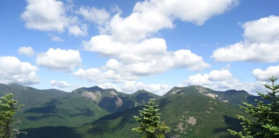
Colvin is the 39th tallest of the Adirondack 46 High Peaks. It is a steep, serious hike that requires significant preparation. A successful hike of Mount Colvin involves research, physical fitness, the right gear, and knowledge of Leave No Trace principles. Colvin was named after Verplanck Colvin, the great surveyor of the Adirondack Park, and is often climbed with Blake Peak.
SPECIAL INFORMATION
This hike is accessed through a conservation easement with the Adirondack Mountain Reserve (AMR). A parking reservation is needed from May 1 - October 31. Although it is called a “parking reservation,” everyone will need a reservation to access hikes leaving from AMR, whether you drove yourself, rode a bike, got dropped-off, or walked. These reservations can be made online via the AMR website. For more information, please read these FAQs or contact the New York State Department of Environmental Conservation.
Key takeaways
- Elevation: 4,507 feet
- Elevation gain: 6,400 feet
- Distance: 20 miles round trip
- Hike includes trail junctions, steep rock slab, and ladders
Hiking Colvin
The primary way to hike Colvin is via the AMR. Hiking via Elk Lake, described below, is seldom done. It is a strenuous hike with serious elevation gain that leads over Pinnacle Ridge and Blake.
Starting along the trail to Panther Gorge and Mount Marcy from Elk Lake you will drop to cross The Branch. After that, you'll start a flat approach to the beginning of a wet hike to the shoulder of the Pinnacle Ridge. At around 3.7 miles there is a newer lean-to. Drop down to the Pinnacle Ridge Trail. From this point the trail, after a flat section, is very demanding and encompasses several smaller peaks with no official names. There is a spur trail to the summit of Pinnacle, which is recommended for outstanding views. Blake will be at the end of the ridge.
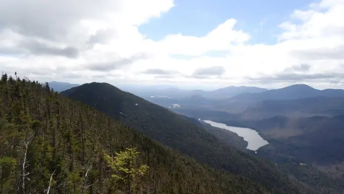
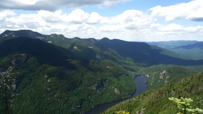
From Blake you drop down very steeply through a highly eroded area where footing is difficult. From the col you will pass the trail down to Warden's Camp, and then start an equally steep ascent up Colvin. There are a couple excellent viewing areas along the ridge to enjoy along the way. It is recommended to continue the traverse over Colvin and out to the AMR and a second car. Unless an overnight is planned this round-trip outing would be too demanding for most hikers.
Colvin in the winter
It is recommended to hike Colvin via the AMR in the winter, as this way in the winter will be unbroken and sees very little traffic.
Find more trails in the Adirondack Hub
Does Colvin sound amazing, but a little more than you want to tackle right now? With the Adirondack Hub being at the center of so many trails, we’re sure to find the best hike for you!
How to get there
Get off at exit 29 on the Northway and follow the Blue Ridge Road toward Newcomb. Look for Elk Lake Road on the right in about 4-5 miles; follow it to its end.


