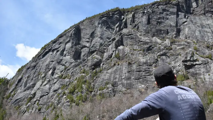
Indian Pass is a historical and old hiking route that leads from Newcomb to Lake Placid. The hike to Summit Rock via Indian Pass goes by historical sites, underneath Wallface Mountain's cliffs, and through a boulder field. While the lower portions of this hike, from either direction, are easy to moderate, the upper reaches of the pass can be very difficult. A successful hike of Summit Rock involves research, physical fitness, the right gear, and knowledge of Leave No Trace principles.
Key statistics
- Distance: 8.7 miles round trip
- Elevation of summit rock: 2,880 feet
- Elevation gain: 1,200 feet
Hiking Indian Pass and Summit Rock
Described below is the out-and-back hike to Summit Rock via Indian Pass from Upper Works. You can also park a car at the Adirondack Loj trailhead and do this hike as a point to point.
This 4.35 mile, one way, hike is over easy to difficult terrain. From the trailhead, start your hike along a gravel road, passing by MacNaughton Cottage, and cross the bridge over the Hudson River. Just past the Hudson River there is a left, avoid this left and continue straight. In another 0.2 miles or so there will be another left, follow this toward Duck Hole and Indian Pass.
This next section of trail continues to follow an old carriage road though an attractive forest as it parallels Henderson Lake, though the lake itself is not in view. The old road is very muddy in several locations. As the trail climbs moderately you will come to an old clearing before you descend for a while to where you can get a visual of Henderson Lake to your left. Soon after there will be another trail breaking off to the left over a bridge, heading to Duck Hole. Do not follow here; continue straight.
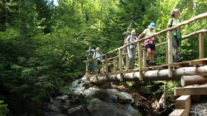
Heading straight you will contend with more settled mud and pass by Henderson lean-to on the hill to your right. Not far after this point another left will appear, take this left toward Indian Pass. This trail will lead over a bridge that crosses Indian Pass Brook and lead you through an open forest back to the brook at Wallface lean-to at 2.8 miles, slightly out of sight to your left.
Passing through the abandoned lean-to site the trail remains relatively flat as it parallels the brook. You will have several wet areas and mud is frequent. Eventually you will cross Indian Pass Brook and start an aggressive climb into the pass.
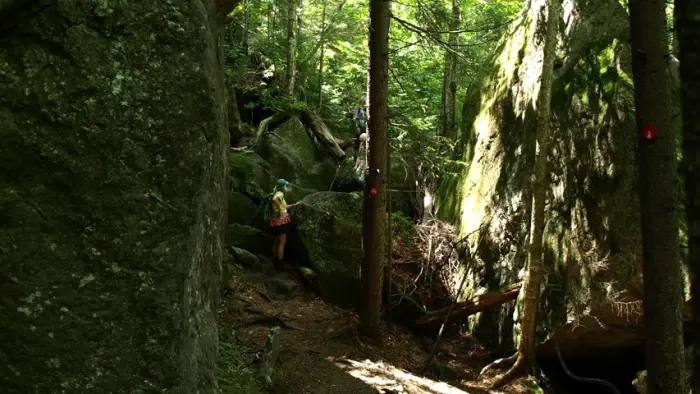
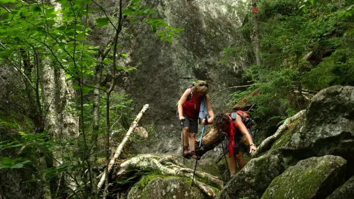
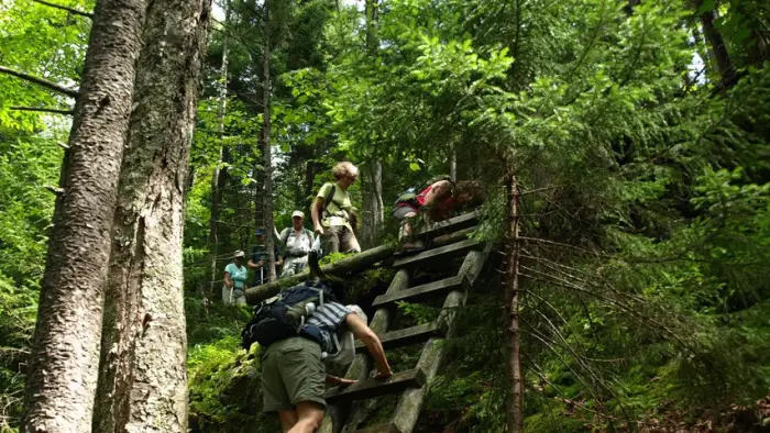
From this point expect large boulders, some the size of two-story buildings. You will pass through these and over some of the small ones. The air will feel much cooler in here and everything will be damp to the touch. There are also three ladders along this section as you approach summit rock and fourth ladder to top out on Summit Rock itself. This region within the pass is very slippery and sees much less sun, keeping everything a bit wet and slick. Use caution and care on the steep slopes and especially the ladders and even more caution on the descent.
Indian Pass in the winter
Indian Pass and Summit Rock are seldom traveled in the winter, be prepared to break trail. The upper reaches of Indian Pass can be dangerous, with large boulders resulting in hidden holes you could fall into. This trail in the winter should only be attempted by experienced hikers, so make sure you are prepared.
Find more trails in the Adirondack Hub
Does Indian Pass sound amazing, but a little more than you want to tackle right now? With the Adirondack Hub being at the center of so many trails, we’re sure to find the best hike for you!
History
Summit Rock and Indian Pass are of historical significance for the Adirondack Park and was the key passageway to the discovery of the Tahawus Mine in the Upper Works Region.
How to get there
Upper Works Trailhead: Our friends at Open Space Institute have announced that effective June 18, 2021, please use the new parking lot adjacent to the MacNaughton Cottage. The old parking lot (terminus of Upper Works Road) will is closed. Unauthorized vehicles in the old parking lot after June 18, 2021 will be towed away at vehicle owners expense. Signage has been placed throughout the old parking lot. They, and we, do not want any surprises for anyone. Thank you and Happy trails! This new parking will not add significant milage to your trip. From exit 29 off I-87, turn west onto Blue Ridge Road (CR 84) toward Newcomb. Follow this route for 17.4 miles to an intersection with Tahawus Road (CR 25). Turn right on Tahawus Road and stay on it for 6.3 miles then turn left at a sign for High Peaks trails. Pass by the old blast furnace at 2.8 miles up this road. From the blast furnace, it is less than one mile to your destination. The road dead ends at the Upper Works parking lot.
Adirondack Loj Trailhead: From the intersection of Route 73 and Route 86 follow Route 73 toward Keene. Continue to Adirondack Loj Road on the right, follow here to the end, and park. ($10 per day parking fee as of 2019.

