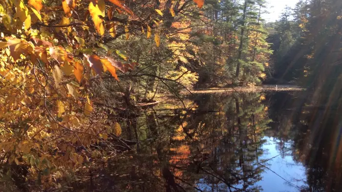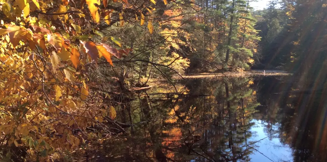
Gero Pond runs alongside Ensign Pond Road, but this hiking path is the only way to actually see the pond, as the shoreline is heavily wooded.
Key takeaways
- Distance: Less than 0.2 miles round trip
- Elevation gain: Under 30 feet
- Hike includes unmarked trail
Hiking Gero Pond
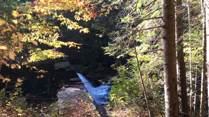
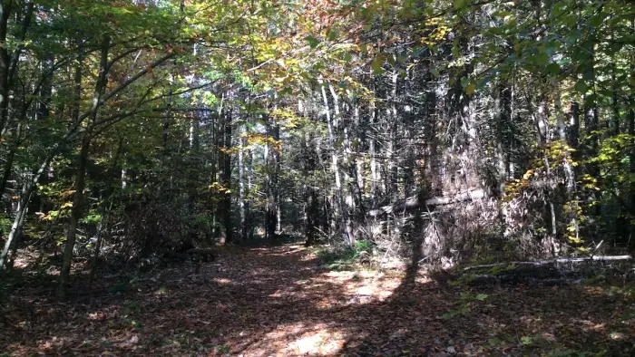
The trail is through the trees just beyond the cemetery. This is a short, flat, and easy trail, except for a three foot drop at the entrance to the dam. The dam itself is a scenic structure made of quarried stones. The dam can be seen on the hike to Bass Lake.
Find more trails in the Adirondack Hub
Looking for another hike? With the Adirondack Hub being at the center of so many trails, we’re sure to find another adventurous hike for you!
How to get there
From Exit 29 off of Interstate 87, follow Blue Ridge Road toward North Hudson, take a left onto state Route 9 and follow it north. Continue for 2.5 miles and turn right onto Caza Turn Road, then take the next right onto Ensign Pond Road. Keep watch on the right on Ensign Pond Road, as 0.3 miles down there is a small historic cemetery with a parking area.