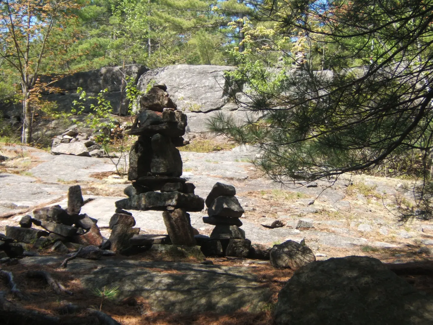
How do you narrow the Schroon Lake Region to three hikes? There are just so many opportunities for hiking in the region for the first-time hiker to the extremely fit. Below are three hikes that will get you to views, water, and everything in between. Listed from easiest to hardest, even the more difficult hike up Treadway only approaches a moderate degree of difficulty. Enjoy the region and be sure to come back often — we have plenty for you to do!
Severance Hill
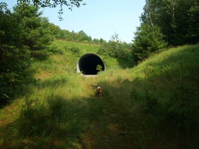
This 2-mile round-trip excursion will only take you about 2.5 hours, so be sure to hang out on the summit for a while to soak up the stellar views and maybe even take an afternoon nap. From the trailhead parking area, follow the trail only briefly before making your way through a hiker’s culvert beneath the Adirondack Northway. It's an interesting feature of the hike that's sure to grab your attention. You will pop out on the other side of the highway and start a wilderness hike through a very attractive forest with a nice mix of evergreens and hardwoods. While the trail at times will be steep before you, its overall length to the summit makes this a possible hike for all ages.
How to Get There
From the intersection of Route 9 and Route 74 just off Exit 28 on Interstate 87, follow Route 9 south toward Schroon Lake. Continue for just over a half mile to the trailhead on the right.
Rock Pond Loop
This lollipop loop might be on the slightly longer scale at 6.8 miles, but its location, difficulty, and features make this an excellent choice for a family hike. The loop around Rock Pond is of course optional, leaving the overall distance you will travel completely up to you. From the day-use parking near the Putnam Pond Beach, locate the foot trail across the grassy area near a couple outbuildings. In about 0.25 miles you will come to the road through the campground, follow it left for about 0.25 miles to the trailhead, which will be on the left. There is no parking at this trailhead.
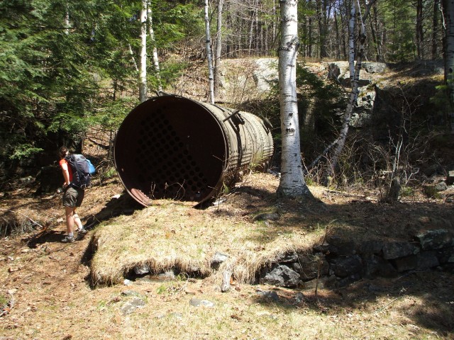
The trail starts out flat to the intersection with Bear Pond. Follow left here and be sure to visit Heart Pond, which will be on your right. It's another great waterbody and a nice early break destination. The rolling hills will then bring you past North Pond to your left, and then downhill to Rock Pond. Either direction around the pond is quite good. On the backside of the pond you can enjoy an old mine shaft for the history buff in your family, and nice views out over the water. Once past the mining area the trail becomes more serious for a while as it climbs up and over several rocky outcrops and along a narrow path above a steep drop, a fun section for sure.
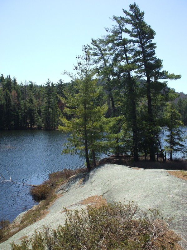
You will soon come to an amazing rock outcropping or peninsula that lunch would be welcome, a swim too I might add. The backside of the pond is a much mellower walk with excellent footing and even more scenic areas for photographic opportunities. There is also a neat floating bridge that crosses the gap between Rock Pond and Little Rock Pond. You will then find yourself back at the NE end of the pond where you first saw the pond, follow the signs back to the campground.
How to Get There
From Schroon Lake follow Route 74 toward Ticonderoga. Take a right onto Putts Pond Road and follow to the end at the state campground. A small day-use fee will be required. Once through the gate of the campground take a right and locate the day-use parking area near the beach.
Treadway Mountain
This nearly 8-mile round-trip hike, while a bit longer, is not all that demanding as far as mountains go. Plan for a full day in the woods and bring plenty of water, snacks, and even a nice lunch.
From the Putnam Pond trailhead, start a moderate and easy hike around Putnam Pond. While you are following the southern shore of the pond, only on a few occasions will you get close. The rolling terrain will bring you to a major intersection at 1.4 miles. Left will bring you to Grizzle Ocean, an interesting name indeed, but you want to take a right here.
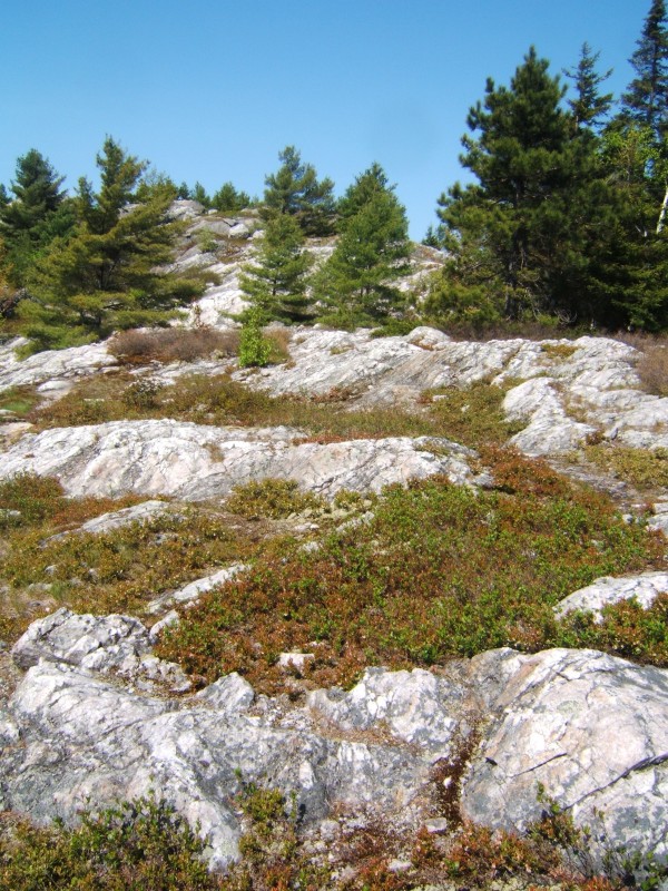
In an additional 0.4 miles you will come to a four-way intersection. A short hike to your right will bring you to Putnam Pond, if you so desire. However, left is your peak. The summit is just a bit over 2 miles away at this point. The climb from here is moderate with only a couple short sections that would resemble steep. The summit and the approaching ridge are loaded with rock outcroppings and views. Take them in, eat some lunch, relax, and maybe plan for a swim in Putnam Pond when you get back down.
How to Get There
From Schroon Lake follow Route 74 toward Ticonderoga. Take a right onto Putts Pond Road and follow it to the end at the state campground, where a small day-use fee will be required. Once through the gate of the campground continue straight to the top of the hill. The parking area is on the left.
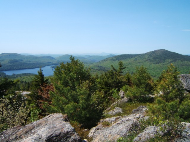
The Schroon Lake Region is paradise for hikers, paddlers, and climbers. Book a stay here, and come explore our lakes and forests!
This week our bloggers highlight favorite ADK hikes:
