The Pharaoh Mountains
If seven-packs actually existed, this would be a forerunner in the Adirondack Park. My chum Jim and I had no idea what we were in store for when I dreamed up this wilderness traverse. The only thing we knew was that one of the hills would be at least a decent payoff, according to what we have read and researched, but the other six were total mysteries.
The Dam Hill to No. 8 Hill to No. 7 Hill to Franks Hill to No. 6 Hill to Orange Hill to Pine Hill: that’s how it would play out. Of course, the route was a bit different at the start of the day, but you can’t tunnel yourself in; you need to be able to make decisions on the fly and make your day pliable, especially when bushwhacking. Oh, and yes, it’s actually named The Dam Hill.
We met in Schroon Lake early the morning of and caravanned over to the Pharaoh Lake trailhead and stashed Jim’s car there; as I mentioned, this would be a two-car traverse. We then drove over to the other Pharaoh Lake trailhead that accesses Mill Brook. The prior thought was to do this traverse from west to east, but we opted for the reverse — it just seemed like less car jockeying, even though it really wasn’t.
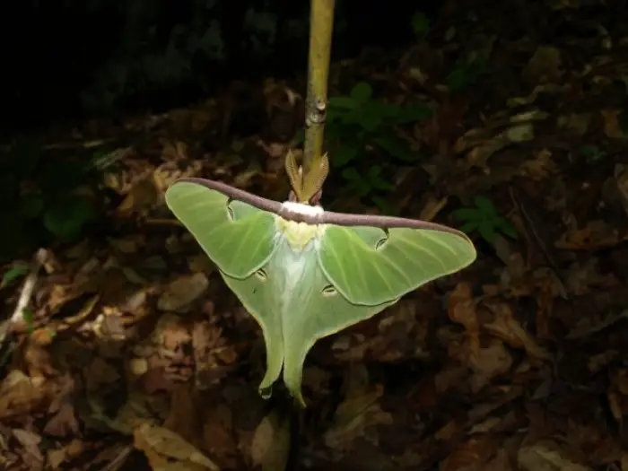
Stepping out of the car, we were welcomed by a cluster of deer flies. I actually used bug repellant, or bug dope to us old-school outdoor enthusiasts. I figured I would put some on my bald spot; I mean what’s the worst that could happen — I grow hair?
Off we set, following the old forest road that would lead us through the wilderness abyss of trees, wetlands, ferns and rocky terrain.
Adirondack Mountain Wilderness
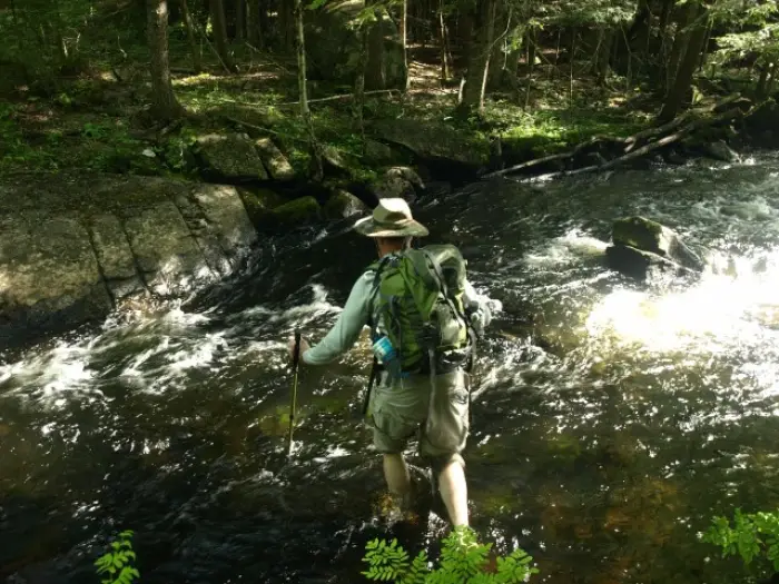
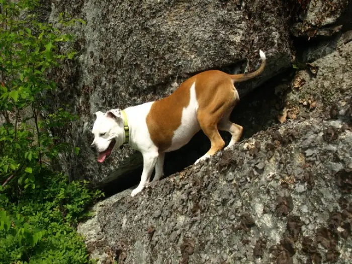
We followed the narrow and soft-topped trail as it passed by an original wilderness sign, beat up by time and a .22 caliber rifle. Soon we stood slightly above Mill Brook looking up at the Dam Hill and over the vast field of speckled alder. We needed to get around this beaver flow and cross Mill Brook to access the hills we wanted to explore. When we finally stood next to the brook, we quickly came to the realization that we would not remain dry. It was time to ford the fast-moving waters. The recent rain seemed to have made this small stream closer to that of a raging torrent, but at least it was a narrow crossing. Jim went first, mainly because I feel he wanted to record me falling in; I was happy to disappoint. Abby, my four-legged hiking partner, was not so ambitious. As a boxer/pit-bull mix, she is not all that fond of water. Through a bit of coaxing and a little nudge, she finally found herself on dry ground once again.
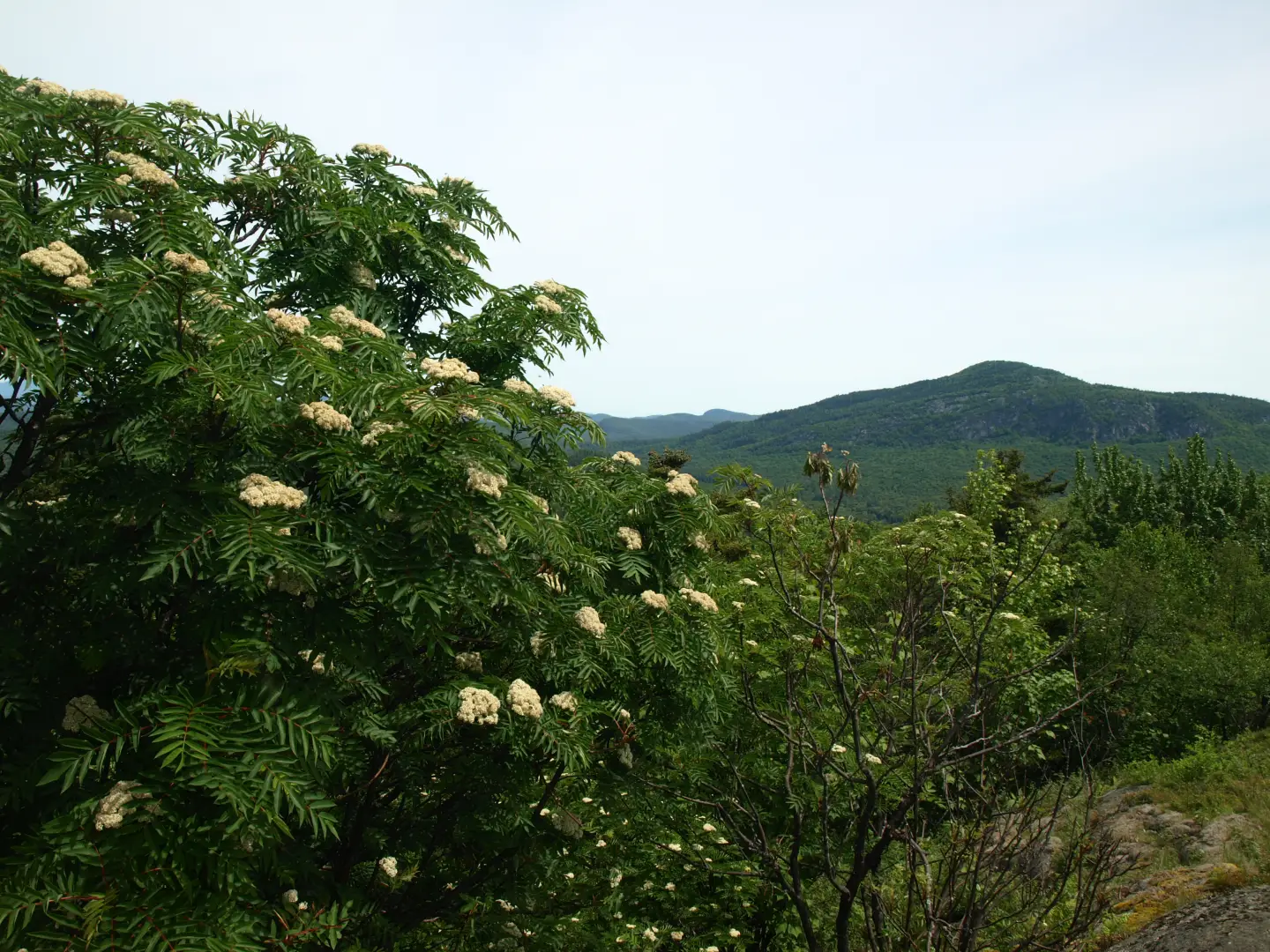
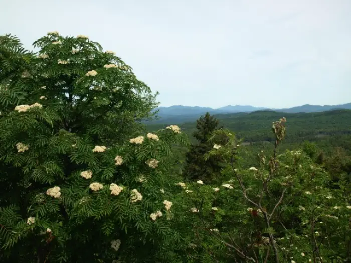
Almost immediately, we started our ascent of the Dam Hill; open forest greeted us and a soft forest floor cushioned our seasoned feet. We climbed in hopes of a reward, and as we switchbacked over the steeper slopes we saw open rock to our left; we had to check it out — our first view, and on the first mountain, too. We had decent views back to the south and Park Mountain resting high above us. The summit would be only a short distance away but would not add to our prize; we were satisfied. Now onto No. 8 Hill. Our descent into the valley below was minimal and we soon found ourselves at the steep slopes on the south side. Our rather old USGS map had what we call stacked contour lines, meaning steep slopes and possible cliffs; we went right for them without hesitation. It didn’t end up being anything vertical, but more of a boulder-strewn rock slide area. Making course up the steep terrain, we hopped from boulder to boulder and blueberry field to blueberry field, finding ourselves at different views around every corner. Up slightly higher, we could see the rock forming what we thought was the summit, only to find it to be a continuation of the rocky ridge with the true summit even farther away along additional viewing platforms. The summit, well, that was a different story — open rock with Pharaoh Mountain right there to grab and the High Peaks jagged the skyline in the not-so-distant background. The white flowers of the mountain ash trees added a bit of white to the deep greens of the forest and the blues of Pharaoh’s mountainside. The High Peaks were layered in different shades of blue depending on how far they were away, adding layer upon layer of rugged features.
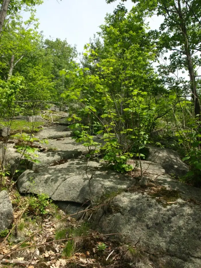
We stayed about as long as our time would allow us. We could have napped and hung out even longer if this were all we had planned, but with five peaks left for the day, we needed to push on. Off to No. 7 Hill, almost directly west of us. Well more than 200’ lower than our current position, we knew we had a large descent ahead of us, and it was a steep descent. The cliffs and odd rock outcropping not only distracted us with more views, but we had to take it very slow to make it down safely; efficiency was not our friend. Finally down, we started a mellow climb through more open hardwood forest stands and atop a shallow ridge. We then stood atop No. 7 Hill. No views were to be had here, but if we had no more views for the day, that would be OK too; No. 8 was our trophy.
An unexpected view
Franks Hill rested only 0.3 miles away along an obvious gentle ridge, we figured we would be there in less than 30-minutes; it ended up being more like 15. The going was cake with nothing slowing us as we approached and passed over the wooded summit to a surprising vista back to the south. We could look right over no. 6 Hill (our next destination) to Park Mountain, once again as the backdrop. It was time for a short break as it was nearing noon, and the lunch monsters in our bellies were getting restless.
After our break, we descended toward No. 6 Hill, which was a tad over a half mile away in a straight line. No. 6, as with the other two numbered hills, was named after the townships they resided in at the time. We didn’t have high expectations for No. 6 to give us any views, but already today we had been proven wrong. We could see on the map what looked to be a rather sizable pond below; we figured why not add to the day’s adventure and check out a pond rarely visited by human eyes. The pond ended up being a beaver creation, rather sizable, and quite attractive. Massive frogs and a colony of beavers seem to be using this as their No. 6 Township; the local pileated woodpecker broke up the silence with its deep thumps against a nearby snag.
After our short hiatus from the mountains, we started up No. 6. The climb was nothing more than a short stroll from the ponds below, even with being slightly off course. There were no views, as we suspected, so we snapped a couple pictures of the treed summit and off we went toward Orange Hill. Our previous plan was to reclimb Franks Hill and use the upper ridge to access Orange, but rather than add an additional climb just to descend the other side of it, we went right back down to the pond — this time the western side — and headed directly toward the summit.
Not much to tell here. The climb was a typical bushwhack through open forest over steep terrain with some usual rocky suspects in the way. But how did it get its name? Orange is such as interesting name. We didn’t get to enjoy any views on this one either but we still had one more to explore: Pine Hill.
Pine Hill, a destination in itself

Again we altered our traverse a bit and, rather than going over two smaller bumps in between, we went right for the summit. The summit wasn’t all that far away, just over 0.8 miles. The forest remained open as expected and as we made course for Pine, we stayed high on the contours as to not lose too much elevation. Finally we climbed steeply to the wooded summit — foiled again, we thought — as we stood amongst closed forest. Then, as we started to make our final descent to Jim’s car, we found a couple peekaboo views from small rock outcroppings in the blankets of Red Pines. We descended a bit farther and there it was, some serious open rock. We couldn’t pass it up, even though we were a bit tired. We felt like we had to take a detour to the rocks, even if it meant we had to climb a bit to reach it. The shelves of open rock gave us an area perspective and a close second in views for the day. Overlooking Schroon Lake and the western portion of the Pharaoh Mountain Wilderness, we were again in awe of our surroundings. The blueberry bushes were now nearly knee deep, especially on Jim, and we had a ball working out the ledge puzzle of how we would safely descend the cliffs. One ledge to the next, one narrow shelf to another, one 5-foot butt slide over a lip to another, and one rock boulder hop to the next, we made our way down to the open hardwoods and onto the Pharaoh Lake Trail, just a mere 0.5 miles from the trailhead.
This called for a celebration, of sorts. We didn’t have any champagne — heck, we didn’t even have a can of Genesee — but what we did have was a Stewart’s right in town, and they had hotdogs and chocolate milk; that would do. The long ride home for me actually doubled up the Stewart’s stops as a cup-of-caffeine-induced alertness was required to make the final stretch home. Thank you, Stewie’s!!!

