Pharaoh Mountain Wilderness
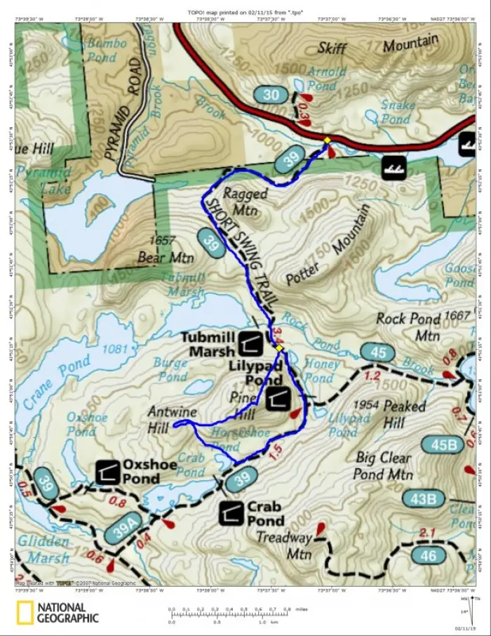
My close friend and frequent hiking companion, Jim Hopson, and I are often out at the break of day, but for this adventure we decided on a bit later start. Today we are heading to the north side of the Pharaoh Mountain Wilderness. We met up just off Exit 29 of I-87 and caravaned over to the trailhead for the Short Swing Trail located off Route 74 between Schroon Lake and Ticonderoga. I was a bit worried that the parking area wouldn’t be plowed, but it was, so luckily parking was no issue.
Short Swing Trail
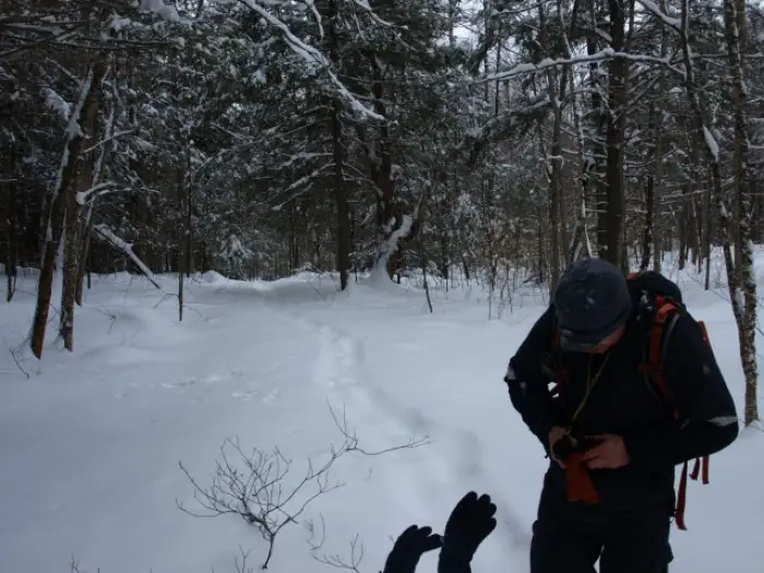
It looked as though the trail had been used somewhat recently; the faint indentations of snowshoe tracks gave us a ray of hope. There ended up being about 3 inches of powder on the broken trail, which was solid enough underneath to support us. At the trail register we planned to sign in, but the book was full, each pencil was broken, and the pens frozen solid. That was okay, safety-wise, since we left notes and plans at home with the family. But, we'll be sure to throw a pencil in our packs for future trips.
We swiftly moved along the trail to the Eagle Lake Dam, where a playful otter resides. We must have spooked him with our conversation, as all we saw were fresh tracks from belly-sliding. We started our climb along the trail, almost immediately past the dam, steady but not overly steep. As we passed by the cliffs and rock outcroppings of Ragged Mountain, it brought back memories of my previous hike to that summit, and whet Jim’s motivation to return.
The trail was still broken ever so slightly. We finally crested the shoulder of Bear Mountain, the apex bringing us to a long descent that would leave us at the Spur Trail for the Tubmill Marsh Lean-to. We could now see clearly that Pine Hill, which was one of our destinations on this day, was right in front of us and the trail would actually get higher at the peak's base. Climbing again we crested a small hill and moved on quickly to a crossing of Rock Pond Brook. This little crossing, which should be assumed to be of no major consequence and frozen solid, was not the case. Sure it looked fine and dandy, but that didn’t stop me from finding the bottom. Of course it was only about 4 inches deep, but your mind can play tricks on you when you have that sudden downward momentum. Apparently the previous snowshoers didn’t even try to cross; the broken out trail now ceased to exist.
Breaking trail
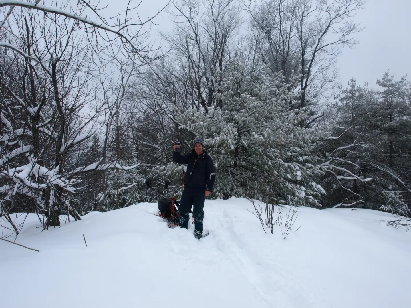
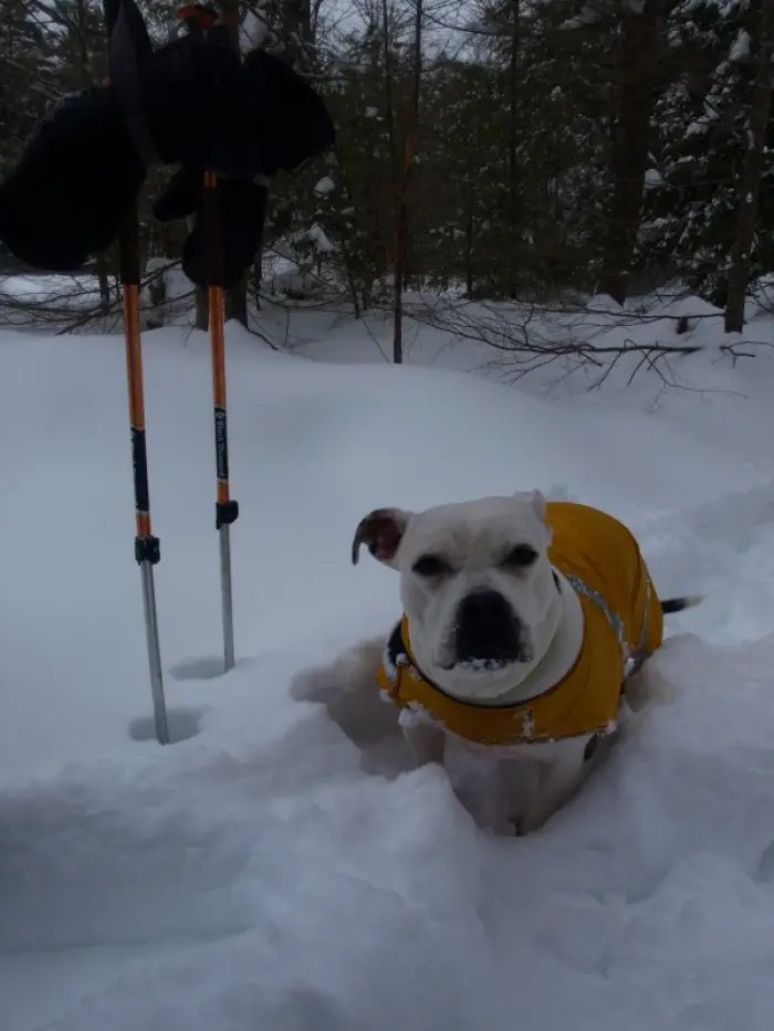
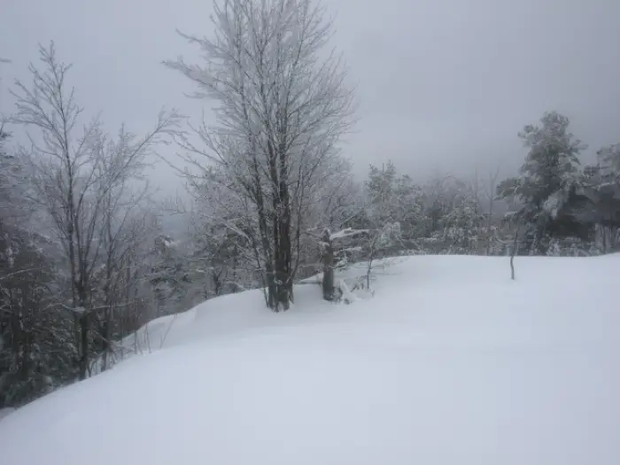
We suddenly found ourselves on undisturbed terrain and breaking trail in no less than 14-inches of snow. We trudged on. Jim started with the trail breaking force as we continued to climb to the shoulder of Pine Hill. Once on the shoulder we switched off and I led the assault as we headed up the steep slopes of Pine Hill. The slopes didn’t hold back as we climbed the final 700-feet of elevation in just under 4/10’s of a mile. The snow was deep as ever, we could only do a few steps between each straight-legged breather. We opted to hike under the canopy of the hemlocks as much as we could, as they held snow in the needles keeping the ground cover at a more manageable 6-inches. We soon found ourselves in the low lying clouds of a rather damp winter day; the hoarfrost on the white pine needles scrapped against our jackets as we moved through. The opening through the trees gave us hope of a viewing platform as we approached a lower knob on the hill. The white pines were too tall to afford us more than an obscured view through the slight openings. The true summit awarded not much more for rewards, but the interesting rock formations, frost on the trees, and the thumping of snow shelves breaking way under us in micro-avalanches was cool enough.
After a quick snack and some hydration we pressed on toward Antwine Hill, which was 300-feet lower than us in elevation and would only work us as hard as its 100-foot climb to its summit could afford. The ridge we followed off Pine Hill was a long landing zone of snow-covered open rock, which gave us the benefit of easy travel and periodic vistas out through the trees. Soon we would have to drop dramatically off the ridge to reach the high col between the two summits. The col was narrow and deep as the steep slopes of both hills surrounded us. Snow seemed to gather here in the hopes of burying any visitors. Pushing on I continued the trail breaking work for a bit before Jim took over. Jim left me the final 200 feet or so as part of my finish, this was my 700th different Adirondack Peak. We celebrated the summit with some hot coffee and homemade chocolate bread that my wife Corenne made with black beans (don’t scrunch your nose, it’s pretty amazing).
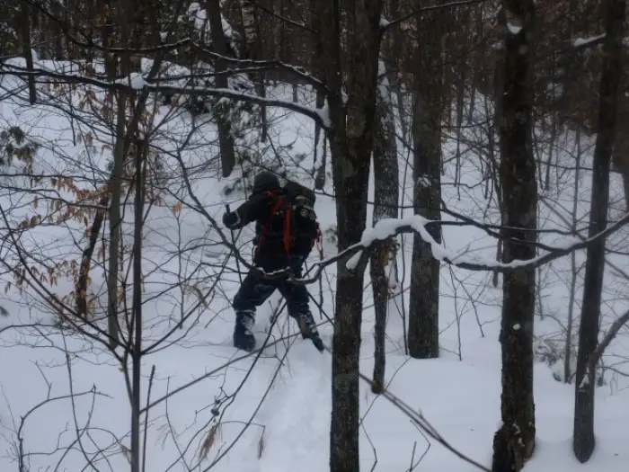
Both Jim and I didn’t like the appeal of climbing back up the 400 feet of elevation on Pine Hill so we opted for the backup plan of a short descent down to Horseshoe Pond, which rests on the Short Swing Trail that we followed in, but another couple miles deeper into the wilderness. This would mean much more trail breaking, but we decided it would be okay, and we both enjoy loops much more than out-and-back hikes.
Horseshoe Pond
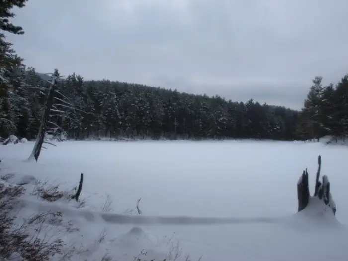
The descent off Antwine Hill was perfect; not too steep and quite interesting as it passed through a tall stand of red pines. In no time whatsoever, we stood at the shore of Horseshoe Pond. Dead snags dotted the pond and leatherleaf protruded the snow along shore. The trail was just a short 1/10th of a mile away and we were looking forward to being there. As suspected, this section of the trail had not been touched in a very long time, if at all this winter. We needed to continue to break trail, and much of the trail back to where we had left it was uphill. As we climbed steadily, the shallow slopes seemed much more difficult under the current conditions, and our legs were starting to feel it. As we passed by the trail that leads to Rock Pond we could see Lilypad Pond through the trees, but today we had no interest in a visit. The trail would continue to climb up over a shoulder of Pine Hill only to tease us with a descent most of that way back down to Honey Pond.
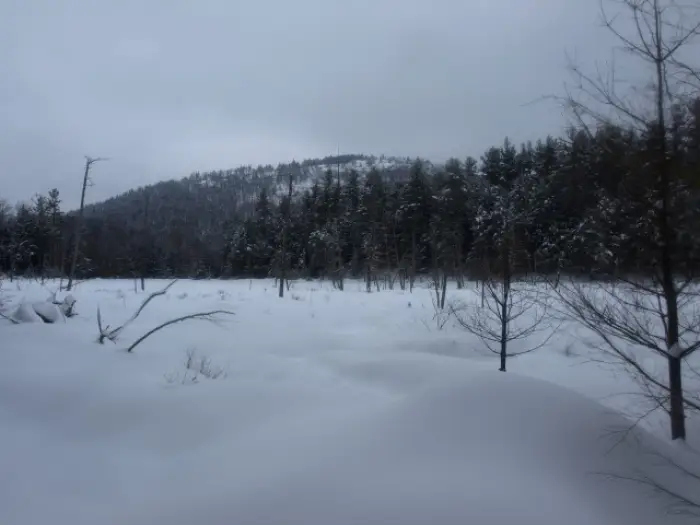
Honey Pond, just to say it, was a honey of a spot. Potter Hill was across the way, and the open rocks that lined the summit made Jim seem to salivate about a near future visit. Once we snapped a few pictures, and Jim wiped his chin, we made the final short climb up to where we broke off up to the steep slopes of Pine Hill that morning. We knew now it would be clear sailing back to the trailhead, but we were not looking forward to the climb back up and over the shoulder of Bear Mountain. Phew.
Interested in the Pharaoh Mountain Wilderness, check out our recreational pages for more trails, ponds, and mountains in the area. Want to have a guided trip into the region, be sure to go to our guide services page for more details and we can get you there. The Pharaoh Mountain Wilderness is a great escape for cross-country skiing as well.
